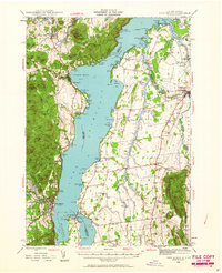
1945 Map of Port Henry
USGS Topo · Published 1963About this map
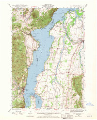
Lake Champlain serves as the central artery for this mid-century survey, dividing New York and Vermont along a shoreline defined by deep harbors and military history. On the western shore, the village of Westport and the landing at Port Henry anchor the local economy, while the rugged terrain of the Adirondacks rises sharply through peaks like Bald Peak and The Pinnacle. The landscape preserves significant colonial history at the southern narrows, where the Fort St Frederic Ruins and Fort Crown Point Ruins stand near Chimney Point. Across the water in Vermont, the terrain shifts to the fertile lowlands of Addison and Panton, characterized by a dense network of rural schools including Potash Sch and Sand Road Sch. The Otter Creek corridor leads to the historic city of Vergennes, while the Rutland railroad line traces the eastern edge of the map, illustrating the persistent importance of rail and river transit in the Champlain Valley.
Find a feature on this map
148 named features on this map. Tap any name to fly to it.
Don’t see what you’re looking for? This feature index may not catch every label — zoom into the map to look around manually.
Map Details
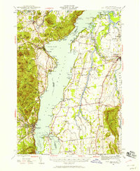
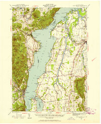
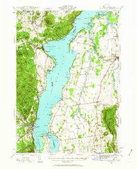
Editions of this 1945 Port Henry Map
5 editions found
Other maps of this area

1894 · Elizabethtown
USGS Topo · 1:62,500

1894 · Port Henry
USGS Topo · 1:62,500

1894 · Ticonderoga
USGS Topo · 1:62,500

1895 · Willsboro
USGS Topo · 1:62,500

1895 · Elizabethtown
USGS Topo · 1:62,500

1895 · Ausable
USGS Topo · 1:62,500

1895 · Paradox Lake
USGS Topo · 1:62,500

1896 · Ticonderoga
USGS Topo · 1:62,500

1897 · Paradox Lake
USGS Topo · 1:62,500

1898 · Port Henry
USGS Topo · 1:62,500