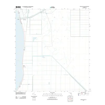
2012 Map of Port Mayaca
USGS Topo · Published 2012About this map
Lake Okeechobee defines the western edge of this landscape, where the massive freshwater body meets the engineered hydrology of south Florida. The Saint Lucie Canal cuts across the northern terrain, serving as a vital navigational and drainage artery connecting the lake to the Atlantic coast. At this junction lies Port Mayaca, a small settlement positioned where the canal intersects the lake's eastern shore. Further south along the levee and rail corridor is Sand Cut, a location historically linked to the region's transport and drainage infrastructure. The presence of the Sand Cut Siding and roads like Amons Rd highlights the intersection of agricultural land management and the logistics required to move goods through this water-dominated environment during the early 21st century.
Find a feature on this map
6 named features on this map. Tap any name to fly to it.
Don’t see what you’re looking for? This feature index may not catch every label — zoom into the map to look around manually.
Map Details
Editions of this 2012 Port Mayaca Map
This is the sole edition of this map. No revisions or reprints were ever made.
Other maps of this area

1953 · Okeechobee 4 SW
USGS Topo · 1:24,000

1953 · Okeechobee 4 SE
USGS Topo · 1:24,000

1953 · Indian Town
USGS Topo · 1:24,000

1956 · West Palm Beach
USGS Topo · 1:250,000

1956 · Fort Pierce
USGS Topo · 1:250,000

1957 · West Palm Beach
USGS Topo · 1:250,000

1958 · Fort Pierce
USGS Topo · 1:250,000

1958 · West Palm Beach
USGS Topo · 1:250,000

1959 · Fort Pierce
USGS Topo · 1:250,000

1970 · West Palm Beach 2 SW
USGS Topo · 1:24,000