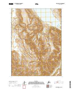
2020 Map of Port Moller D-1 NW
USGS Topo · Published 2020About this map
The King Salmon River flows through this rugged stretch of the Aleutian Range, cutting through a landscape defined by dramatic elevation changes. This 2020 survey illustrates the high-altitude drainage patterns where numerous unnamed tributaries feed into the primary river system. Near the northern map boundary, the corner of Bear Lake appears, set against a backdrop of steep peaks that rise from the coastal lowlands. The map is primarily organized by the Public Land Survey System, showing segments of t48s r71w, t49s r71w, and several adjacent townships. This specific quadrant of the Port Moller region remains largely undeveloped, preserving the original hydrological and topographical character of the Alaska Peninsula as it transitions toward the Bering Sea.
Find a feature on this map
10 named features on this map. Tap any name to fly to it.
Don’t see what you’re looking for? This feature index may not catch every label — zoom into the map to look around manually.
Map Details
Editions of this 2020 Port Moller D-1 NW Map
This is the sole edition of this map. No revisions or reprints were ever made.
Other maps of this area

1953 · Port Moller
USGS Topo · 1:250,000

1963 · Chignik A-7
USGS Topo · 1:63,360

1963 · Port Moller D-2
USGS Topo · 1:63,360

1963 · Chignik
USGS Topo · 1:250,000
1963 · Chignik A-8
USGS Topo · 1:63,360
1963 · Port Moller D-1
USGS Topo · 1:63,360

1988 · Port Moller
USGS Topo · 1:250,000
2020 · Chignik A-8 SE
USGS Topo · 1:25,000
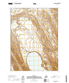
2020 · Chignik A-7 SW
USGS Topo · 1:25,000
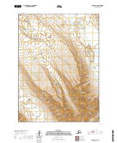
2020 · Chignik A-7 SE
USGS Topo · 1:25,000