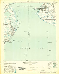
1947 Map of Port Tampa
USGS Topo · Published 1947About this map
Mac Dill Field and the adjacent Port Tampa terminal dominate the eastern shore of Old Tampa Bay in this mid-century survey. The map records the strategic importance of the Interbay Peninsula, where the Port Tampa Dock serves as a major maritime and rail nexus. Across the water, the Pinellas County shoreline exhibits emerging residential patterns in Shore Acres and Snell Isle, alongside recreational spaces like the Sunset Golf Course.
Find a feature on this map
51 named features on this map. Tap any name to fly to it.
Don’t see what you’re looking for? This feature index may not catch every label — zoom into the map to look around manually.
Map Details
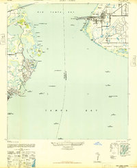
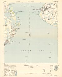
Editions of this 1947 Port Tampa Map
3 editions found
Other maps of this area

1921 · Tampa
USGS Topo · 1:62,500

1921 · Fort De Soto
USGS Topo · 1:62,500

1921 · St Petersburg
USGS Topo · 1:62,500

1942 · Cockroach Bay
USGS Topo · 1:31,680

1943 · St Petersburg
USGS Topo · 1:31,680

1943 · Gandy Bridge
USGS Topo · 1:31,680

1943 · Pass-A-Grille
USGS Topo · 1:31,680

1943 · Safety Harbor
USGS Topo · 1:31,680

1943 · Port Tampa
USGS Topo · 1:31,680

1944 · Ruskin
USGS Topo · 1:31,680