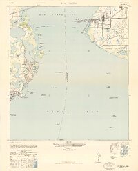
1947 Map of Port Tampa
USGS Topo · Published 1947About this map
Port Tampa and the Interbay Peninsula stand at a strategic maritime crossroads during the post-war transition. This military edition, reprinted for civil use, reveals the expansive layout of MacDill Field on the eastern shore, a dominant presence overlooking the confluence of Old Tampa Bay and Tampa Bay. Across the water to the west, the residential growth of St. Petersburg is evident in the developments of Shore Acres and Snell Isle, where Shore Acres Golf Course and Sunset Golf Course mark the recreational landscape of the late 1940s.
Find a feature on this map
51 named features on this map. Tap any name to fly to it.
Don’t see what you’re looking for? This feature index may not catch every label — zoom into the map to look around manually.
Map Details
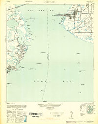
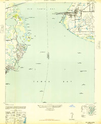
Editions of this 1947 Port Tampa Map
3 editions found
Other maps of this area

1921 · Tampa
USGS Topo · 1:62,500

1921 · Fort De Soto
USGS Topo · 1:62,500

1921 · St Petersburg
USGS Topo · 1:62,500

1942 · Cockroach Bay
USGS Topo · 1:31,680

1943 · St Petersburg
USGS Topo · 1:31,680

1943 · Gandy Bridge
USGS Topo · 1:31,680

1943 · Pass-A-Grille
USGS Topo · 1:31,680

1943 · Safety Harbor
USGS Topo · 1:31,680

1943 · Port Tampa
USGS Topo · 1:31,680

1944 · Ruskin
USGS Topo · 1:31,680