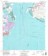
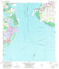
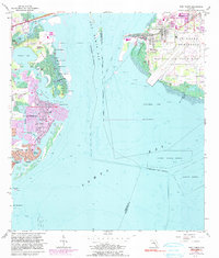
1956 Map of Port Tampa
USGS Topo · Published 1990About this map
Mac Dill Air Force Base occupies a dominant position on the Interbay Peninsula, illustrating the mid-century military footprint along the Florida coast. This map reveals the maritime and aviation infrastructure of the era, from the heavy rail lines of the Seaboard terminating at the Port Tampa Dock to the civilian Whitted Airport and the iconic Municipal Pier further south. Across Old Tampa Bay, the residential expansion of St Petersburg is evident in the developing finger isles and canals of Shore Acres and Snell Isle. The natural geography of Weedon Island remains largely intact, characterized by landmarks like Weedon Hammock and a cluster of named keys including Christmas Island and Snake Island. These details highlight a period of transition where industrial shipping, strategic military installations, and suburban bayfront growth converged.
Find a feature on this map
44 named features on this map. Tap any name to fly to it.
Don’t see what you’re looking for? This feature index may not catch every label — zoom into the map to look around manually.
Map Details
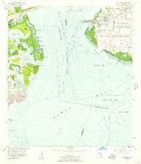
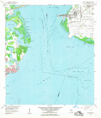
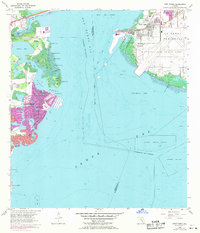
Editions of this 1956 Port Tampa Map
6 editions found
Other maps of this area

1921 · Tampa
USGS Topo · 1:62,500

1921 · Fort De Soto
USGS Topo · 1:62,500

1921 · St Petersburg
USGS Topo · 1:62,500

1942 · Cockroach Bay
USGS Topo · 1:31,680

1943 · St Petersburg
USGS Topo · 1:31,680

1943 · Gandy Bridge
USGS Topo · 1:31,680

1943 · Pass-A-Grille
USGS Topo · 1:31,680

1943 · Safety Harbor
USGS Topo · 1:31,680

1943 · Port Tampa
USGS Topo · 1:31,680

1944 · Ruskin
USGS Topo · 1:31,680