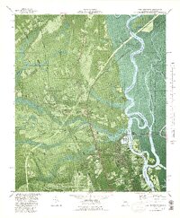
1980 Map of Port Wentworth
USGS Topo · Published 1980About this map
Port Wentworth and its industrial riverfront dominate this 1980 orthophotomap, where the Savannah River splits into a complex network of channels including Middle River and the Little Back River. This transition from the urban-industrial corridor of Garden City to the preserved wetlands of the Savannah National Wildlife Refuge reveals the dual nature of the Chatham County landscape. While heavy infrastructure like the Savannah Filtration Plant and Industrial Waste Ponds line the western banks, the eastern islands like Argyle Island and Middle Ground Island remain largely undeveloped. Inland, the map captures a rural-suburban interface marked by historic community anchors such as Mt Marriah Ch, Cherokee Hill Cem, and North Salem Ch. The transportation network is a central feature, showing the Central of Georgia and Seaboard Coast Line railroads cutting through the Black Swamp toward the Savannah Municipal Airport.
Find a feature on this map
67 named features on this map. Tap any name to fly to it.
Don’t see what you’re looking for? This feature index may not catch every label — zoom into the map to look around manually.
Map Details
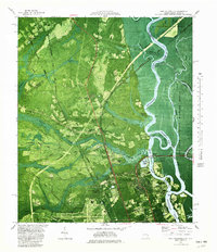
Editions of this 1980 Port Wentworth Map
2 editions found
Other maps of this area

1919 · Egypt
USGS Topo · 1:62,500

1920 · Hardeeville
USGS Topo · 1:62,500

1920 · Meldrim
USGS Topo · 1:62,500

1939 · Egypt
USGS Topo · 1:62,500

1942 · Meldrim
USGS Topo · 1:62,500

1942 · Savannah
USGS Topo · 1:62,500

1943 · Hardeeville
USGS Topo · 1:62,500

1943 · Egypt
USGS Topo · 1:62,500

1947 · Savannah
USGS Topo · 1:250,000

1948 · Savannah
USGS Topo · 1:250,000