
Loading...
Loading map...1980 Map of Port Wing
USGS Topo · Published 1980About this map
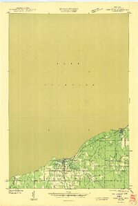
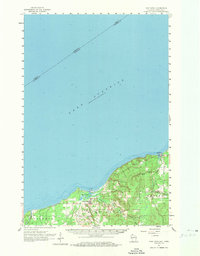
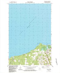
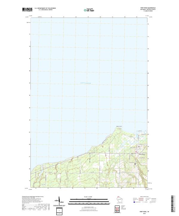
The south shore of Lake Superior dominates this 1980 survey, illustrating a landscape defined by extensive public lands and small lakeshore settlements. The topography transition from the expansive Chequamegon National Forest and Brule River State Forest to the rugged coastline includes prominent features like Roman Point and the Western edge of the Apostle Islands National Lakeshore.
Find a feature on this map
146 named features on this map. Tap any name to fly to it.
Don’t see what you’re looking for? This feature index may not catch every label — zoom into the map to look around manually.
Map Details
Date Portrayed1980
Date Published1980
PublisherU.S. Geological Survey
Map TypeTopographic
Scale1:100,000
Physical Dimensions36.89 x 24.46 inches
Editions of this 1980 Port Wing Map
This is the sole edition of this map. No revisions or reprints were ever made.
Historical Maps of Duluth Through Time
6 maps found

Featured Locations
Source Details
SourceU.S. Geological Survey
CopyrightPublic Domain