Loading...
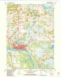
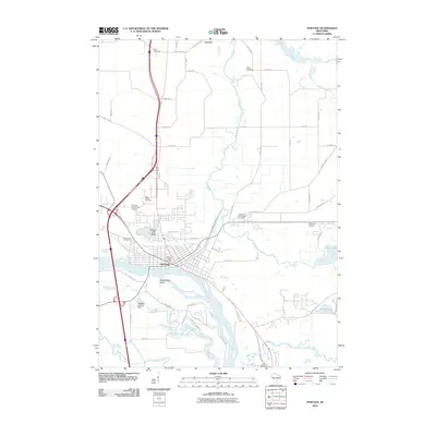
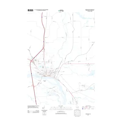
Loading map...1984 Map of Portage
USGS Topo · Published 1984About this map
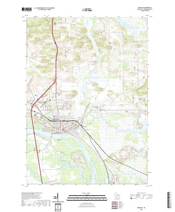
Portage serves as a critical hydrological junction in the mid-1980s, where the Wisconsin River and the Fox River nearly meet. This unique geography is bridged by a historic Canal and guarded by a lock, illustrating the town's historical importance as a place of transit between the Great Lakes and Mississippi River watersheds. An Old Indian Treaty Boundary cuts across the wetlands south of Swan Lake, marking a significant cartographic record of historical land agreements in Columbia County.
Find a feature on this map
55 named features on this map. Tap any name to fly to it.
Don’t see what you’re looking for? This feature index may not catch every label — zoom into the map to look around manually.
Map Details
Date Portrayed1984
Date Published1984
PublisherU.S. Geological Survey
Map TypeTopographic
Scale1:24,000
Physical Dimensions21.53 x 27.19 inches
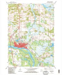
Editions of this 1984 Portage Map
2 editions found
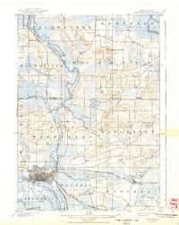
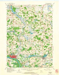
Historical Maps of Portage Through Time
8 maps found
Featured Locations
Source Details
SourceU.S. Geological Survey
CopyrightPublic Domain