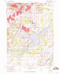
1967 Map of Portage
USGS Topo · Published 1969About this map
The expanding suburban landscape of Portage and southern Kalamazoo is documented here during a period of significant post-war growth. Residential subdivisions and schools like Haverhill Sch and Amberly Sch are shown emerging among older landmarks. The region’s aviation and industrial character is anchored by the Kalamazoo Municipal Airport and numerous Gravel Pits that supported local construction.
Find a feature on this map
63 named features on this map. Tap any name to fly to it.
Don’t see what you’re looking for? This feature index may not catch every label — zoom into the map to look around manually.
Map Details
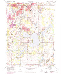
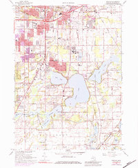
Editions of this 1967 Portage Map
3 editions found
Other maps of this area

1916 · Kalamazoo
USGS Topo · 1:62,500

1918 · Kalamazoo
USGS Topo · 1:62,500

1918 · Galesburg
USGS Topo · 1:62,500

1918 · Leonidas
USGS Topo · 1:62,500

1922 · Schoolcraft
USGS Topo · 1:62,500

1943 · Kalamazoo
USGS Topo · 1:62,500

1943 · Schoolcraft
USGS Topo · 1:62,500

1944 · Leonidas
USGS Topo · 1:62,500

1944 · Galesburg
USGS Topo · 1:62,500

1947 · Galesburg
USGS Topo · 1:24,000