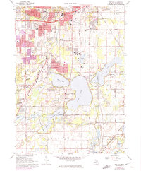
1967 Map of Portage
USGS Topo · Published 1974About this map
Kalamazoo and Portage showcase the rapid suburban expansion of south-central Michigan during the mid-1960s and early 1970s. The map illustrates a landscape transitioning from glacial lake basins and game areas to a structured network of residential streets and educational centers. Notable educational institutions like Hackett High School and Norrix High School appear alongside commercial hubs like the Southgate Shopping Center. The southern portion of the sheet remains dominated by significant water bodies, including Austin Lake and Long Lake, which served as focal points for both recreation at Ramona Park and local aviation at the Austin Lake Airport.
Find a feature on this map
91 named features on this map. Tap any name to fly to it.
Don’t see what you’re looking for? This feature index may not catch every label — zoom into the map to look around manually.
Map Details
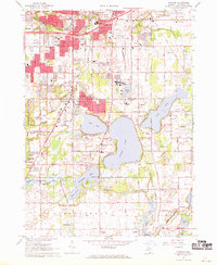
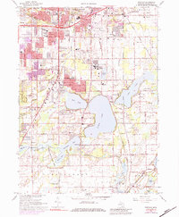
Editions of this 1967 Portage Map
3 editions found
Other maps of this area

1916 · Kalamazoo
USGS Topo · 1:62,500

1918 · Kalamazoo
USGS Topo · 1:62,500

1918 · Galesburg
USGS Topo · 1:62,500

1918 · Leonidas
USGS Topo · 1:62,500

1922 · Schoolcraft
USGS Topo · 1:62,500

1943 · Kalamazoo
USGS Topo · 1:62,500

1943 · Schoolcraft
USGS Topo · 1:62,500

1944 · Leonidas
USGS Topo · 1:62,500

1944 · Galesburg
USGS Topo · 1:62,500

1947 · Galesburg
USGS Topo · 1:24,000