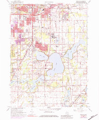
1967 Map of Portage
USGS Topo · Published 1984About this map
Austin Lake and Long Lake dominate the southern landscape of this Kalamazoo County region, where residential growth in Portage began to intensify during the mid-1960s. The map illustrates a community in transition, balancing suburban expansion like the Southgate Shopping Center with preserved natural spaces such as the Gourdneck State Game Area. Evidence of the area's agricultural past and early settlement is preserved in several small burial grounds, including the Dry Prairie Cem and Smith Cem. Transport and industry are central to the district's character, defined by the expansive Kalamazoo Municipal Airport and the rail corridors of the Penn Central and Grand Trunk Western. Numerous schools like Pershing Sch and Lake Center Sch dot the map, reflecting the postwar population boom that reshaped this Michigan landscape.
Find a feature on this map
81 named features on this map. Tap any name to fly to it.
Don’t see what you’re looking for? This feature index may not catch every label — zoom into the map to look around manually.
Map Details
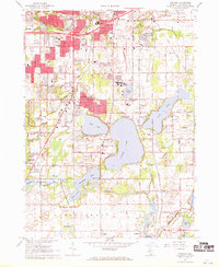
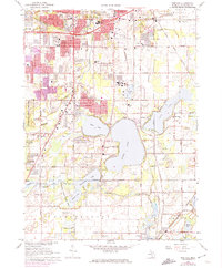
Editions of this 1967 Portage Map
3 editions found
Other maps of this area

1916 · Kalamazoo
USGS Topo · 1:62,500

1918 · Kalamazoo
USGS Topo · 1:62,500

1918 · Galesburg
USGS Topo · 1:62,500

1918 · Leonidas
USGS Topo · 1:62,500

1922 · Schoolcraft
USGS Topo · 1:62,500

1943 · Kalamazoo
USGS Topo · 1:62,500

1943 · Schoolcraft
USGS Topo · 1:62,500

1944 · Leonidas
USGS Topo · 1:62,500

1944 · Galesburg
USGS Topo · 1:62,500

1947 · Galesburg
USGS Topo · 1:24,000