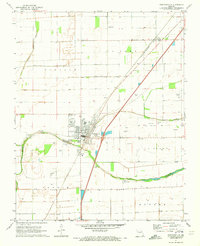
1971 Map of Portageville
USGS Topo · Published 1973About this map
The town of Portageville sits at the heart of this Missouri Bootheel landscape, defined by a complex network of agricultural drainage and early 1970s transit corridors. The area is heavily marked by the channelization of the Old Channel Little River and the Portage Open Bay, which reflect the region's historic transition from swamp to fertile farmland. For genealogists, this map is an exceptional resource, documenting a dense cluster of family-named burial sites including Meatte Cem, Arbuckle Cem, Crabtree Cem, and Smith-Ellis Cem. The St Louis-San Francisco railroad and U.S. Highway 61 run parallel through the territory, passing the small settlements of Jaywye and Conran. Further south, the community of Hayward and landmarks like Penman Airfield show the rural development of New Madrid and Pemiscot counties.
Find a feature on this map
41 named features on this map. Tap any name to fly to it.
Don’t see what you’re looking for? This feature index may not catch every label — zoom into the map to look around manually.
Map Details
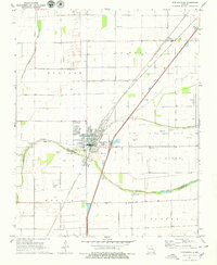
Editions of this 1971 Portageville Map
2 editions found
Other maps of this area

1939 · Portageville
USGS Topo · 1:62,500

1939 · New Madrid
USGS Topo · 1:62,500

1940 · Malden
USGS Topo · 1:62,500

1940 · Pascola
USGS Topo · 1:62,500

1951 · New Madrid SE
USGS Topo · 1:24,000

1954 · New Madrid
USGS Topo · 1:62,500

1955 · Pascola
USGS Topo · 1:62,500

1955 · Portageville
USGS Topo · 1:62,500

1956 · Malden
USGS Topo · 1:62,500

1956 · Dyersburg
USGS Topo · 1:250,000