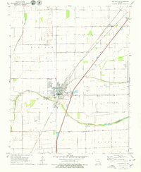
1971 Map of Portageville
USGS Topo · Published 1979About this map
Portageville serves as the central hub for this corner of the Missouri Bootheel, situated at the boundary of New Madrid Co and Pemiscot Co. The landscape is a testament to the region's agricultural drainage history, defined by the Little River and the meandering path of Portage Open Bay. These waterways are flanked by organized grid-work and drainage channels, reflecting the transformation of swamp lands into productive fields.
Find a feature on this map
42 named features on this map. Tap any name to fly to it.
Don’t see what you’re looking for? This feature index may not catch every label — zoom into the map to look around manually.
Map Details
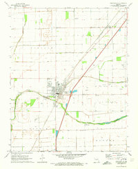
Editions of this 1971 Portageville Map
2 editions found
Other maps of this area

1939 · Portageville
USGS Topo · 1:62,500

1939 · New Madrid
USGS Topo · 1:62,500

1940 · Malden
USGS Topo · 1:62,500

1940 · Pascola
USGS Topo · 1:62,500

1951 · New Madrid SE
USGS Topo · 1:24,000

1954 · New Madrid
USGS Topo · 1:62,500

1955 · Pascola
USGS Topo · 1:62,500

1955 · Portageville
USGS Topo · 1:62,500

1956 · Malden
USGS Topo · 1:62,500

1956 · Dyersburg
USGS Topo · 1:250,000