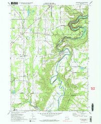
1972 Map of Portageville
USGS Topo · Published 1983About this map
The Genesee River carves a dramatic path through the landscape of the Letchworth State Park area in the early 1970s. This survey captures the river's winding course as it flows past Portage and Portageville, crossing the boundary between Wyoming and Livingston counties. The river valley is punctuated by several falls and the Erie-Lackawanna rail line, which skirts the eastern ridges above the water.
Find a feature on this map
50 named features on this map. Tap any name to fly to it.
Don’t see what you’re looking for? This feature index may not catch every label — zoom into the map to look around manually.
Map Details
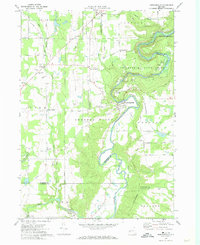
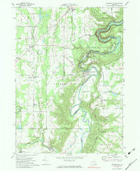
Editions of this 1972 Portageville Map
Other maps of this area

1905 · Portage
USGS Topo · 1:62,500

1905 · Nunda
USGS Topo · 1:62,500

1906 · Angelica
USGS Topo · 1:62,500

1916 · Canaseraga
USGS Topo · 1:62,500

1940 · Canaseraga
USGS Topo · 1:62,500

1941 · Angelica
USGS Topo · 1:62,500

1943 · Mount Morris
USGS Topo · 1:24,000

1943 · Warsaw
USGS Topo · 1:24,000

1943 · Nunda
USGS Topo · 1:24,000

1943 · Castile
USGS Topo · 1:24,000