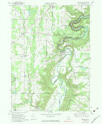
1972 Map of Portageville
USGS Topo · Published 1983About this map
The Genesee River carves a dramatic course through this portion of Western New York, defining the landscape within Letchworth State Park. By the early 1970s, the river’s power is documented through its significant drop over Upper Falls, Middle Falls, and Lower Falls. The surrounding highlands are divided among the townships of Gainesville, Castile, and Genesee Falls, where a network of rural roads like Bolton Road and Holehandle Road connects scattered farmsteads and small settlements. The Erie-Lackawanna railroad line parallels the river, serving as a critical transit artery through the valley near Portageville. Genealogy researchers will find several well-documented burial grounds, including the Portageville Cem and Assumption Cem, while the presence of numerous Gravel Pits points to the area's local extractive industry.
Find a feature on this map
56 named features on this map. Tap any name to fly to it.
Don’t see what you’re looking for? This feature index may not catch every label — zoom into the map to look around manually.
Map Details
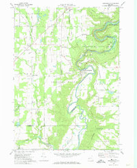
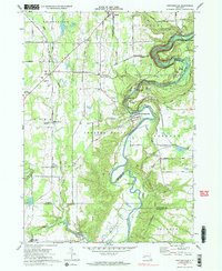
Editions of this 1972 Portageville Map
Other maps of this area

1905 · Portage
USGS Topo · 1:62,500

1905 · Nunda
USGS Topo · 1:62,500

1906 · Angelica
USGS Topo · 1:62,500

1916 · Canaseraga
USGS Topo · 1:62,500

1940 · Canaseraga
USGS Topo · 1:62,500

1941 · Angelica
USGS Topo · 1:62,500

1943 · Mount Morris
USGS Topo · 1:24,000

1943 · Warsaw
USGS Topo · 1:24,000

1943 · Nunda
USGS Topo · 1:24,000

1943 · Castile
USGS Topo · 1:24,000