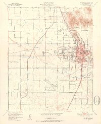
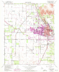
1951 Map of Porterville
USGS Topo · Published 1952About this map
The agricultural and transit hub of Porterville is defined by a dense grid of streets and schools, reflecting its status as a vital Tulare County center. The landscape is fundamentally shaped by water management, with the Friant Kern Canal cutting north-to-south and the Tule River and Porter Slough branching across the valley floor. Educational infrastructure is remarkably prominent, featuring numerous local campuses such as Roche Ave Sch, West Putnam Sch, and Vandalia School.
Find a feature on this map
51 named features on this map. Tap any name to fly to it.
Don’t see what you’re looking for? This feature index may not catch every label — zoom into the map to look around manually.
Map Details
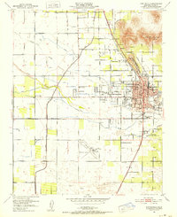
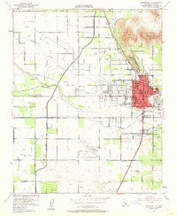
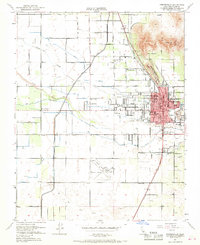
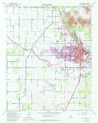
Editions of this 1951 Porterville Map
6 editions found
Other maps of this area

1904 · Kaweah
USGS Topo · 1:125,000

1909 · Kaweah
USGS Topo · 1:125,000

1927 · Cairns Corner
USGS Topo · 1:31,680

1928 · Woodville
USGS Topo · 1:31,680

1928 · Lindsay
USGS Topo · 1:31,680

1929 · Sausalito School
USGS Topo · 1:31,680

1929 · Porterville
USGS Topo · 1:31,680

1929 · Ducor
USGS Topo · 1:31,680

1936 · White River
USGS Topo · 1:62,500

1936 · Tobias Peak
USGS Topo · 1:125,000