
1956 Map of Portland
USGS Topo · Published 1963About this map
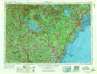
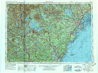
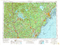
Portland and the coastal corridor of southern Maine stand as the primary urban anchor in this mid-century topographic study, which spans from the Atlantic Ocean into the heart of the White Mountains. The map documents a period of significant military and infrastructure development, highlighted by the strategic presence of the Portsmouth Naval Shipyard and the newly established Pease Air Force Base. Inland, the landscape is defined by the massive water bodies of Lake Winnipesaukee and Sebago Lake, serving as recreational hubs connected by a maturing road network that includes the Maine Turnpike. The rail economy is still visible through the tracks of the Boston and Maine RR and the Grand Trunk Ry, which serviced industrial centers like Biddeford, Saco, and Manchester. From the heights of Mt Washington to the rocky shoreline at Cape Elizabeth, the map captures the transition from high alpine wilderness to busy maritime ports.
Find a feature on this map
103 named features on this map. Tap any name to fly to it.
Don’t see what you’re looking for? This feature index may not catch every label — zoom into the map to look around manually.
Map Details
Editions of this 1956 Portland Map
4 editions found
Other maps of this area

1888 · Newburyport
USGS Topo · 1:62,500

1888 · Haverhill
USGS Topo · 1:62,500

1890 · Haverhill
USGS Topo · 1:62,500

1890 · Newburyport
USGS Topo · 1:62,500

1891 · Portland
USGS Topo · 1:62,500

1891 · Biddeford
USGS Topo · 1:62,500

1891 · Berwick
USGS Topo · 1:62,500

1891 · Kennebunk
USGS Topo · 1:62,500

1891 · Buxton
USGS Topo · 1:62,500

1891 · Newfield
USGS Topo · 1:62,500