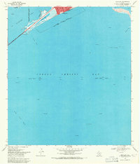
1968 Map of Portland
USGS Topo · Published 1971About this map
Portland sits at the northern edge of this coastal landscape, looking out over the expansive waters where Nueces Bay and Corpus Christi Bay meet. The 1968 survey reveals a heavy industrial and maritime influence, with a network of Gas Wells and Oil Wells peppered across the shallow bay waters and the surrounding flats. Navigation is a central theme of the map, anchored by the long reach of the Corpus Christi Channel and its associated Light stations and Range Lights.
Find a feature on this map
20 named features on this map. Tap any name to fly to it.
Don’t see what you’re looking for? This feature index may not catch every label — zoom into the map to look around manually.
Map Details
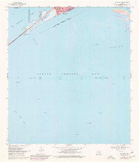
Editions of this 1968 Portland Map
2 editions found
Other maps of this area

1925 · Aransas Pass
USGS Topo · 1:62,500

1925 · Oso Creek
USGS Topo · 1:62,500

1925 · Corpus Christi
USGS Topo · 1:62,500

1950 · Corpus Christi
USGS Topo · 1:250,000

1951 · Portland
USGS Topo · 1:24,000

1951 · Corpus Christi
USGS Topo · 1:24,000

1951 · Corpus Christi
USGS Topo · 1:62,500

1951 · Crane Islands NW
USGS Topo · 1:24,000

1951 · Oso Creek NW
USGS Topo · 1:24,000

1951 · Oso Creek NE
USGS Topo · 1:24,000