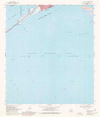
1968 Map of Portland
USGS Topo · Published 1977About this map
Portland sits at the northern terminus of the Causeway in this coastal Texas survey, marking a period of suburban expansion across the San Patricio and Nueces county lines. The landscape is dominated by the vast waters of Corpus Christi Bay and Nueces Bay, where maritime activity and resource extraction define the local economy. A complex network of navigational aids including Range Lights and various Light markers guides traffic through the Corpus Christi Channel, while the surrounding shallows are home to extensive oyster beds and geological formations like Long Reef, Donnel Reef, and Alta Vista Reef. Onshore, the development around Sunset Lake and Indian Point reveals the town's growth toward the shoreline, punctuated by numerous Gas Wells and Oil Wells that signal the region's industrial importance during the late 1960s and 1970s.
Find a feature on this map
22 named features on this map. Tap any name to fly to it.
Don’t see what you’re looking for? This feature index may not catch every label — zoom into the map to look around manually.
Map Details
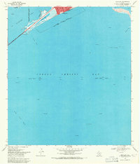
Editions of this 1968 Portland Map
2 editions found
Other maps of this area

1925 · Aransas Pass
USGS Topo · 1:62,500

1925 · Oso Creek
USGS Topo · 1:62,500

1925 · Corpus Christi
USGS Topo · 1:62,500

1950 · Corpus Christi
USGS Topo · 1:250,000

1951 · Portland
USGS Topo · 1:24,000

1951 · Corpus Christi
USGS Topo · 1:24,000

1951 · Corpus Christi
USGS Topo · 1:62,500

1951 · Crane Islands NW
USGS Topo · 1:24,000

1951 · Oso Creek NW
USGS Topo · 1:24,000

1951 · Oso Creek NE
USGS Topo · 1:24,000