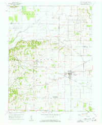
1959 Map of Poseyville
USGS Topo · Published 1961About this map
Poseyville serves as the primary hub of this southwestern Indiana landscape, where the agricultural plains of Robb and Smith townships meet a network of mid-century infrastructure. The map reveals a high density of family and community landmarks, particularly evident in the numerous cemeteries like St Francis Cem and Old Union Cem that dot the countryside. The presence of the Illinois Central and Chicago And Eastern Illinois railroads underscores the importance of rail transport to these rural communities at the end of the 1950s.
Find a feature on this map
41 named features on this map. Tap any name to fly to it.
Don’t see what you’re looking for? This feature index may not catch every label — zoom into the map to look around manually.
Map Details
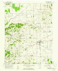
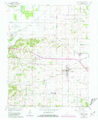
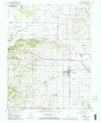
Editions of this 1959 Poseyville Map
4 editions found
Other maps of this area

1901 · Princeton
USGS Topo · 1:62,500

1901 · Haubstadt
USGS Topo · 1:62,500

1903 · Haubstadt
USGS Topo · 1:62,500

1903 · New Harmony
USGS Topo · 1:62,500

1903 · Princeton
USGS Topo · 1:62,500

1903 · Patoka
USGS Topo · 1:125,000

1904 · Mount Carmel
USGS Topo · 1:62,500

1938 · New Harmony
USGS Topo · 1:62,500

1956 · Vincennes
USGS Topo · 1:250,000

1957 · Vincennes
USGS Topo · 1:250,000