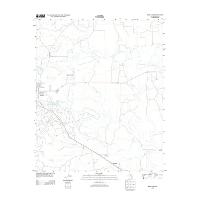
2012 Map of Post East
USGS Topo · Published 2012About this map
Post sits at the western edge of this landscape where the Caprock begins its descent toward the rolling plains. This 2012 survey captures the layout of the town, from the grid of Pine St and May St to the nearby Post-Garza County Municipal Airport. To the east, the terrain is defined by the winding course of the N Fork Double Mountain Fork Brazos River and a network of seasonal drainages like Stink Cr and Sand Cr.
Find a feature on this map
36 named features on this map. Tap any name to fly to it.
Don’t see what you’re looking for? This feature index may not catch every label — zoom into the map to look around manually.
Map Details
Editions of this 2012 Post East Map
This is the sole edition of this map. No revisions or reprints were ever made.
Other maps of this area

1954 · Lubbock
USGS Topo · 1:250,000

1968 · South Dokegood Creek
USGS Topo · 1:24,000

1969 · Verbena
USGS Topo · 1:24,000

1969 · Cap Rock SE
USGS Topo · 1:24,000
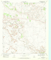
1969 · Justiceburg NW
USGS Topo · 1:24,000

1969 · Post East
USGS Topo · 1:24,000

1969 · Justiceburg
USGS Topo · 1:24,000

1969 · Post West
USGS Topo · 1:24,000

1969 · Cooper Creek
USGS Topo · 1:24,000
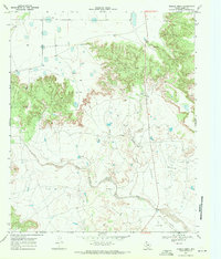
1969 · Middle Creek
USGS Topo · 1:24,000