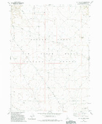
1981 Map of Pot Hole Butte
USGS Topo · Published 1993About this map
The Saylor Creek Air Force Range dominates this landscape in the southern Bruneau Desert, as surveyed in the mid-1970s. This high-altitude desert terrain is characterized by broad volcanic features and drainage patterns, most notably Pot Hole Butte in the northeast and Winter Camp Butte in the southeast. The map reveals the military utility of this remote corner of Owyhee, Idaho, marked by numerous designated Targets, observation Towers, and the clearly defined Military Reservation Boundary.
Find a feature on this map
16 named features on this map. Tap any name to fly to it.
Don’t see what you’re looking for? This feature index may not catch every label — zoom into the map to look around manually.
Map Details
Editions of this 1981 Pot Hole Butte Map
2 editions found
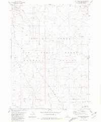
Other maps of this area

1947 · Hot Spring
USGS Topo · 1:24,000

1948 · Indian Cove
USGS Topo · 1:62,500

1948 · Glenns Ferry
USGS Topo · 1:62,500

1948 · Pence Butte
USGS Topo · 1:24,000
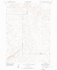
1949 · Pot Hole Canyon
USGS Topo · 1:24,000
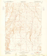
1949 · Pence Butte
USGS Topo · 1:24,000
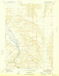
1949 · Hot Spring
USGS Topo · 1:24,000
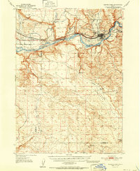
1951 · Glenns Ferry
USGS Topo · 1:62,500

1955 · Twin Falls
USGS Topo · 1:250,000

1956 · Blue Butte
USGS Topo · 1:62,500