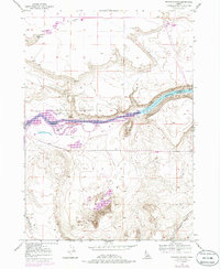
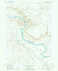
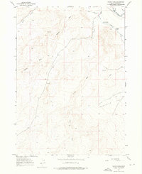
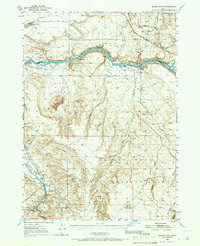
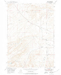
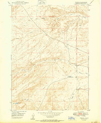
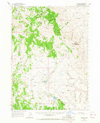
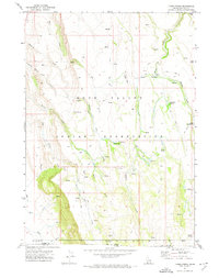
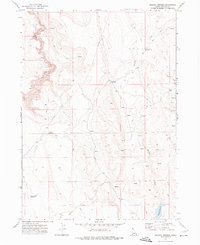
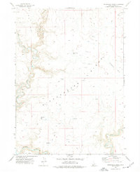
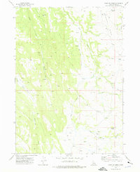
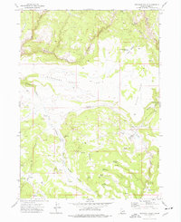
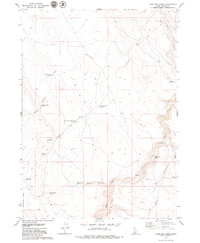
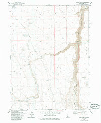
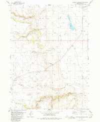
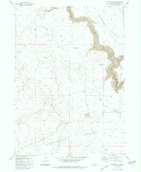
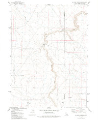
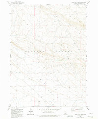
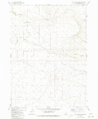
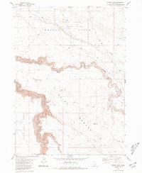
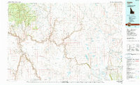
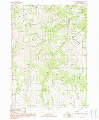
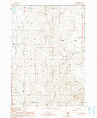
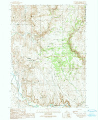
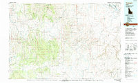
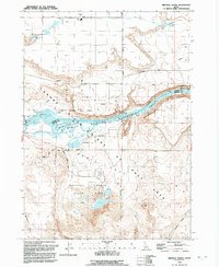
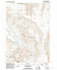
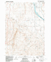
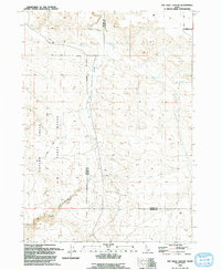
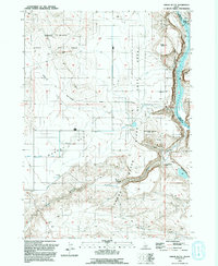
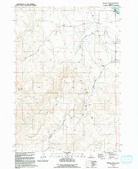
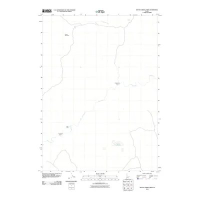
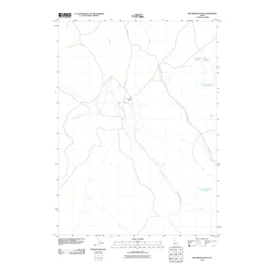
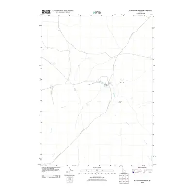
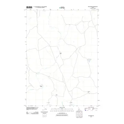
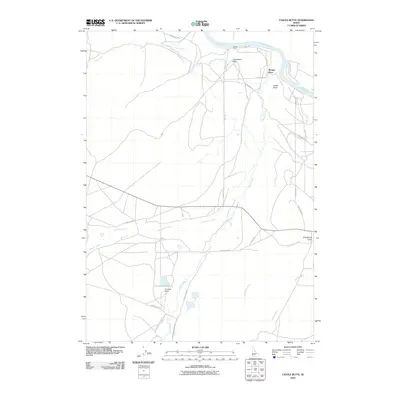
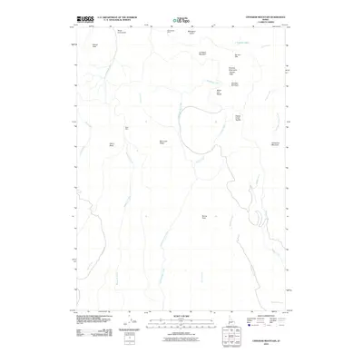
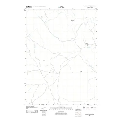
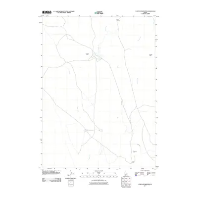
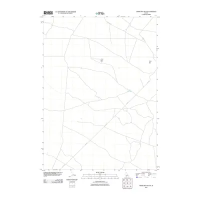
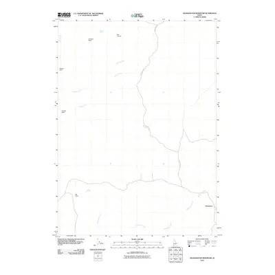
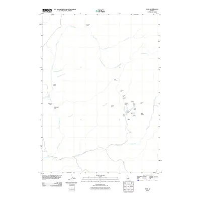
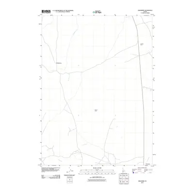
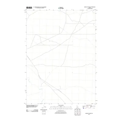
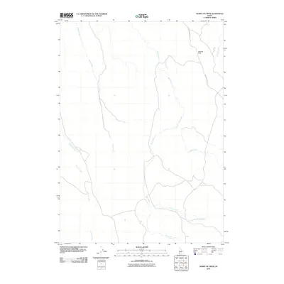
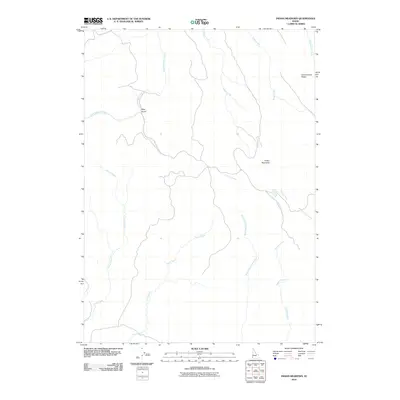
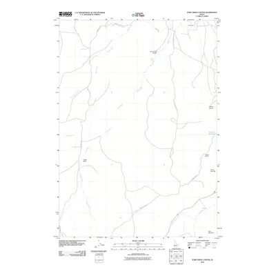
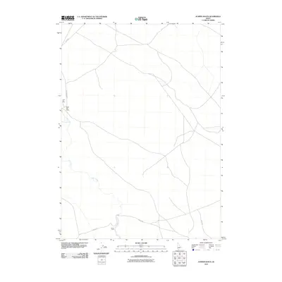
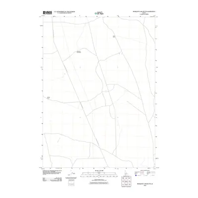
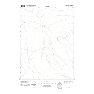
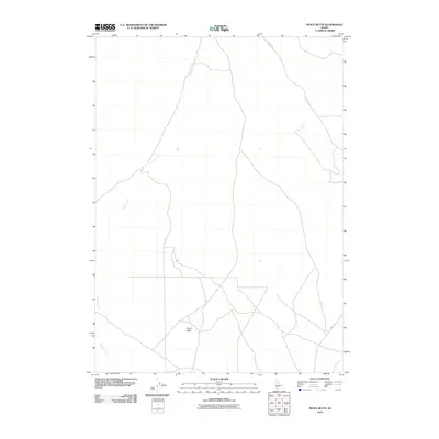
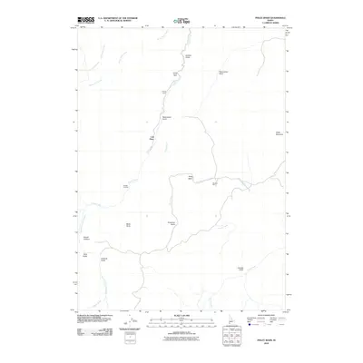
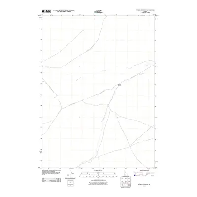
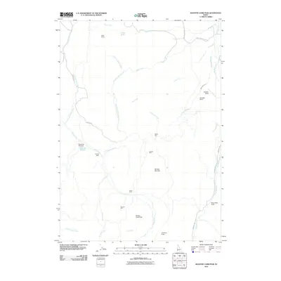
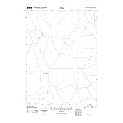
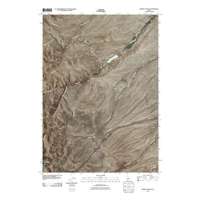
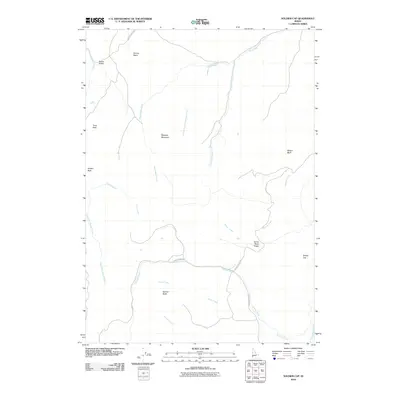
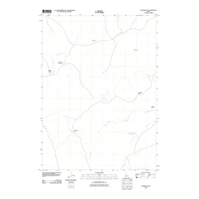
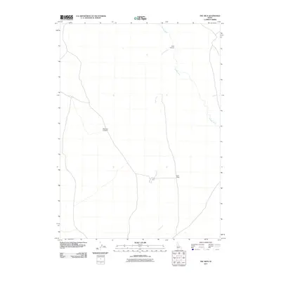
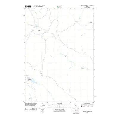
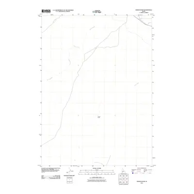
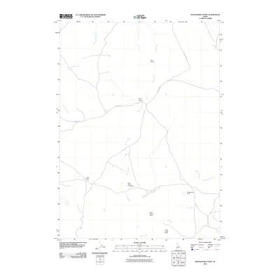
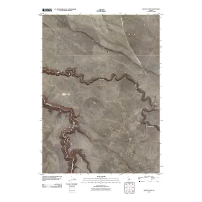
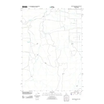
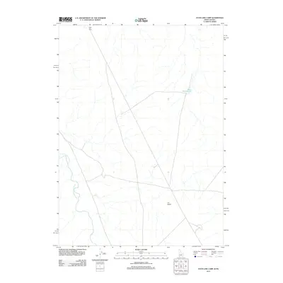
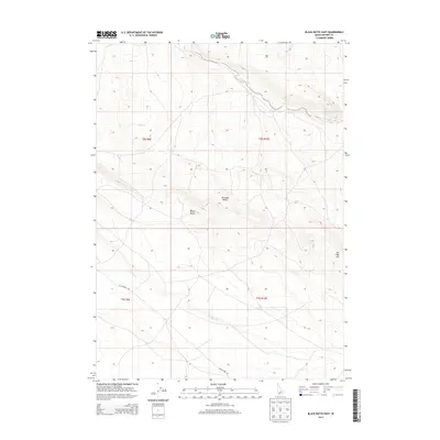
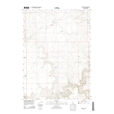
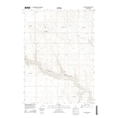
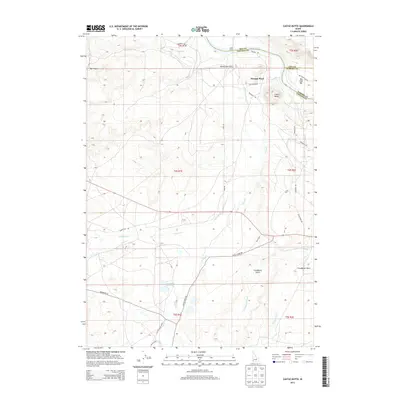
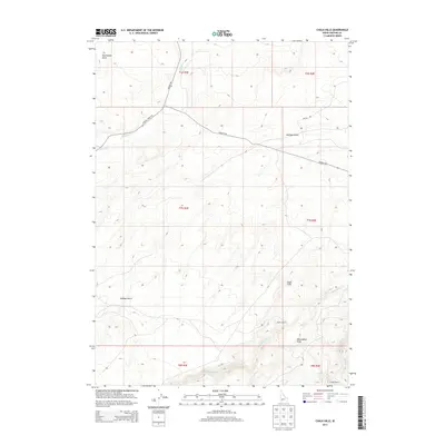
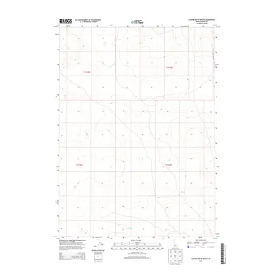
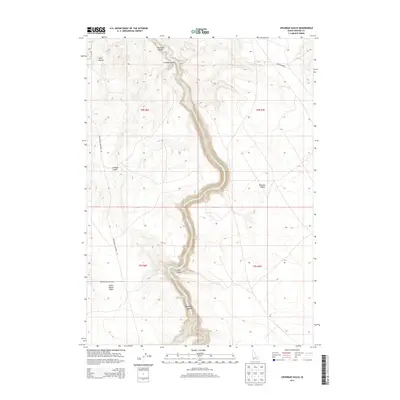
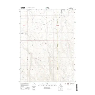
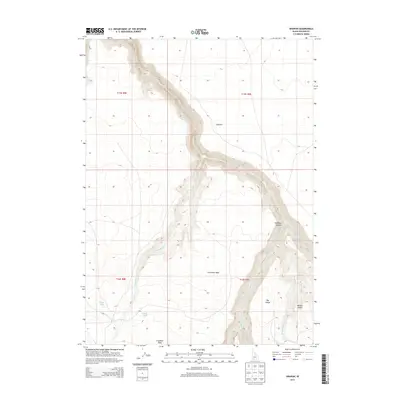
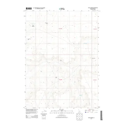
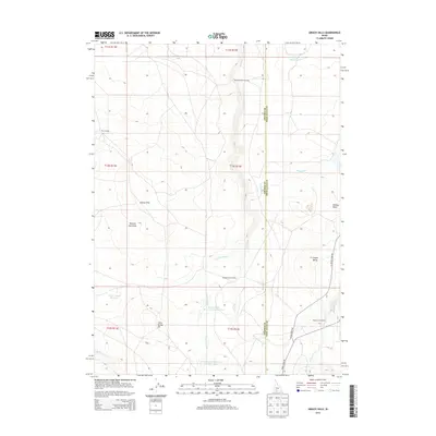
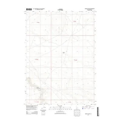
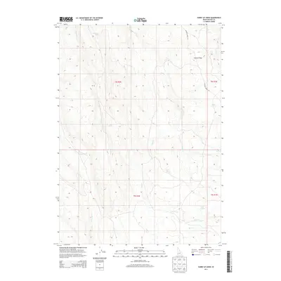
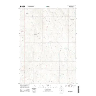
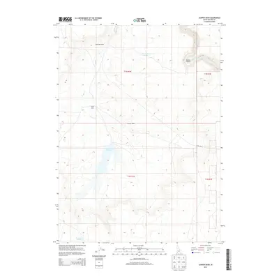
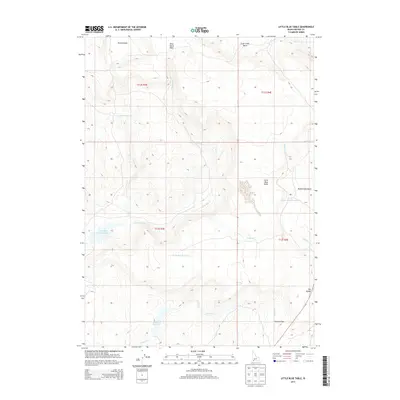
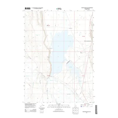
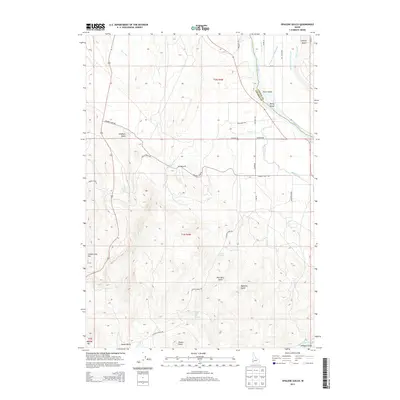
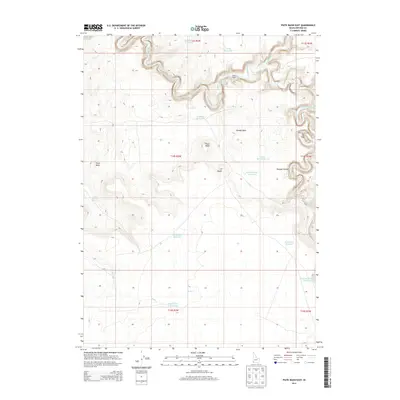
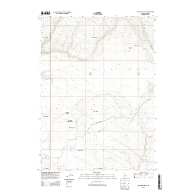
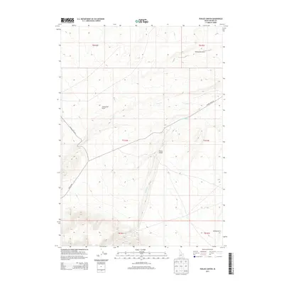
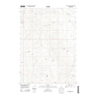
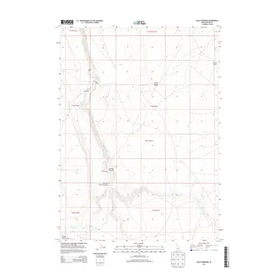
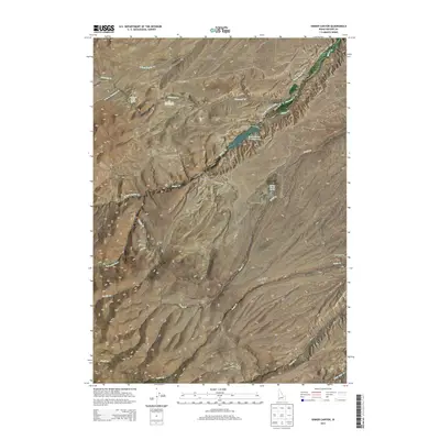
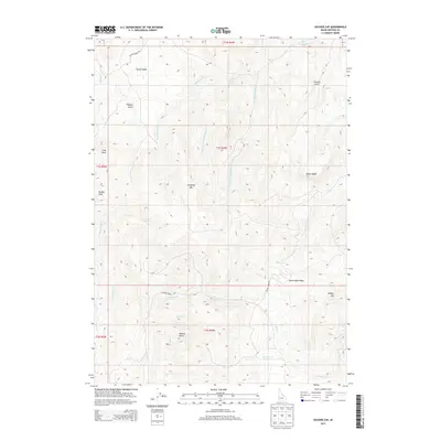
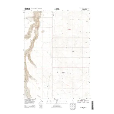
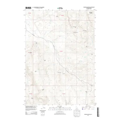
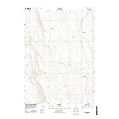
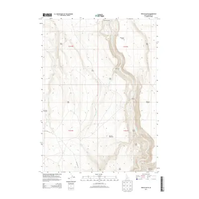
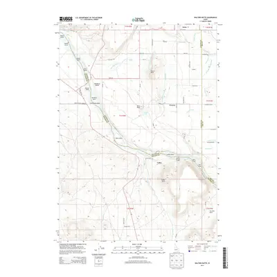
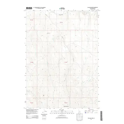
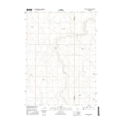
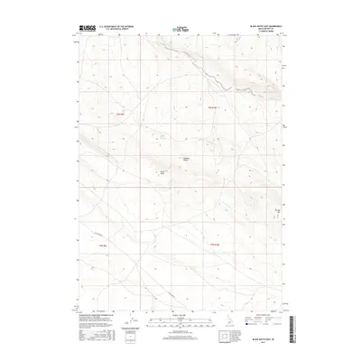
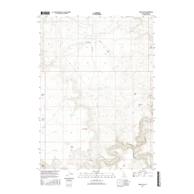
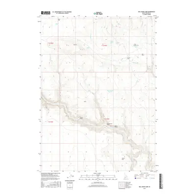
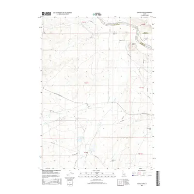
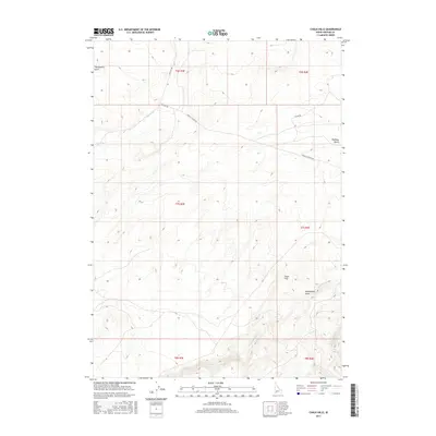
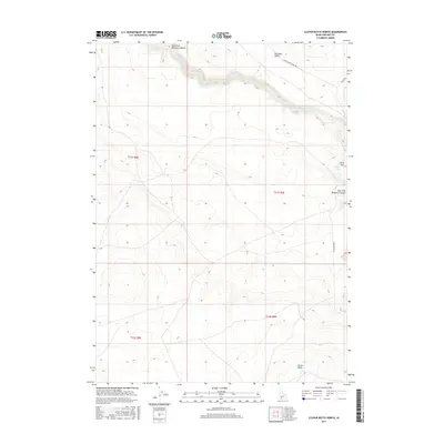
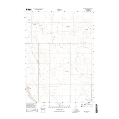
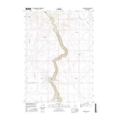
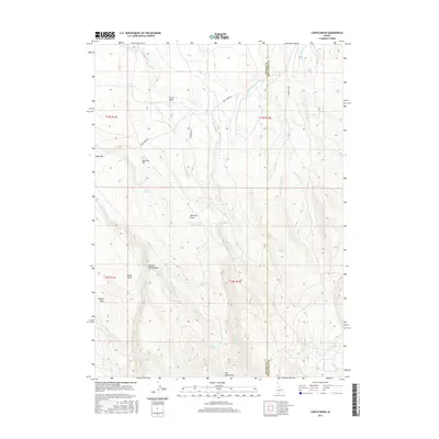
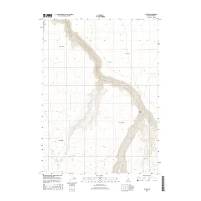
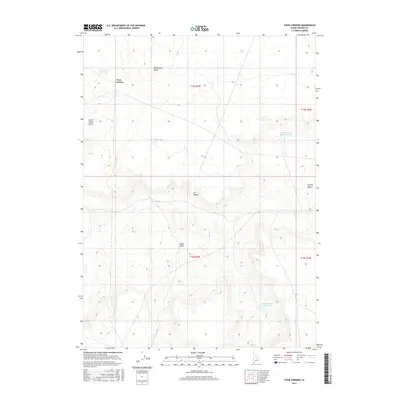
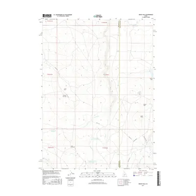
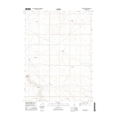
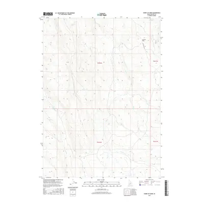
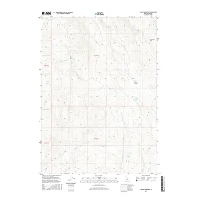
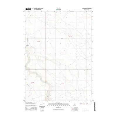
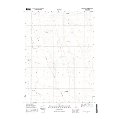
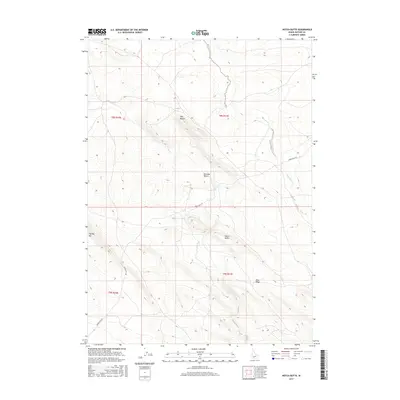
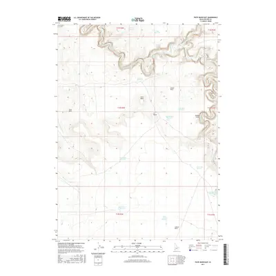
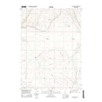
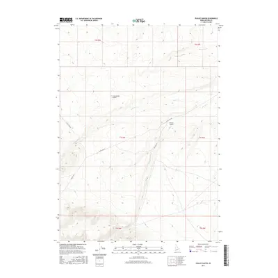
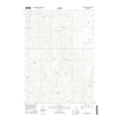
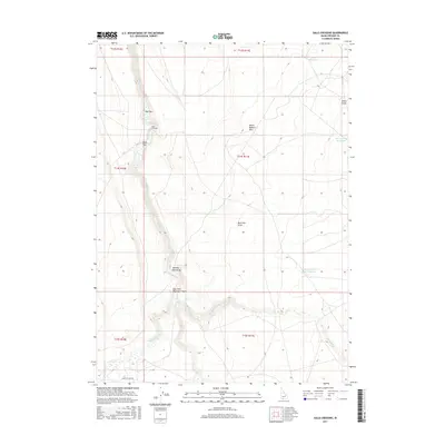
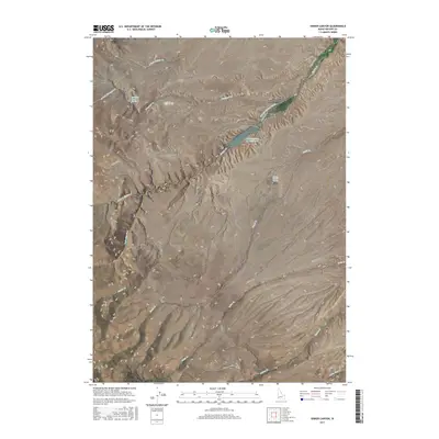
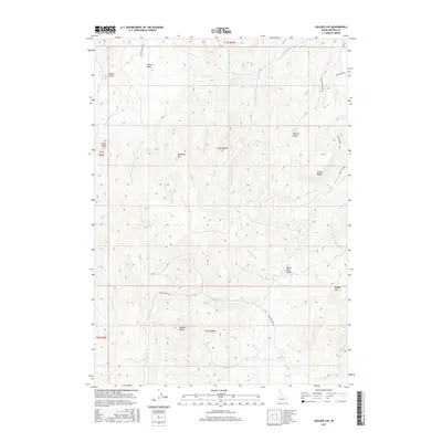
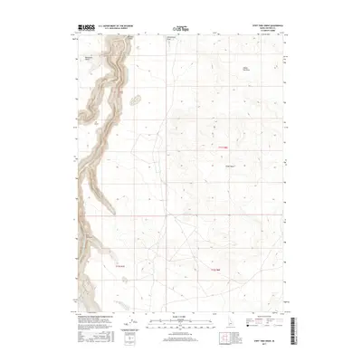
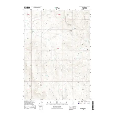
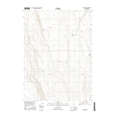
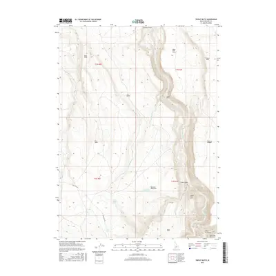
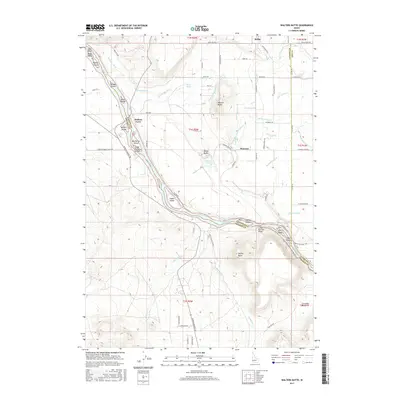
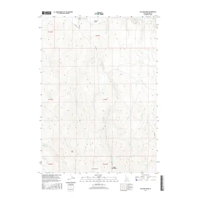
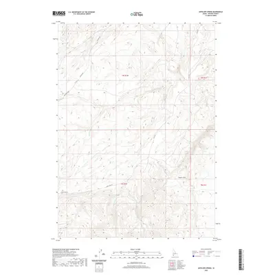
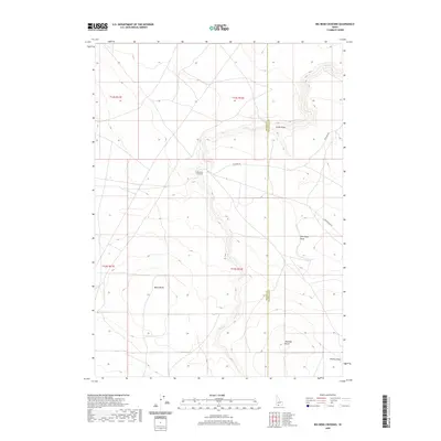
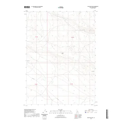
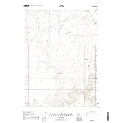
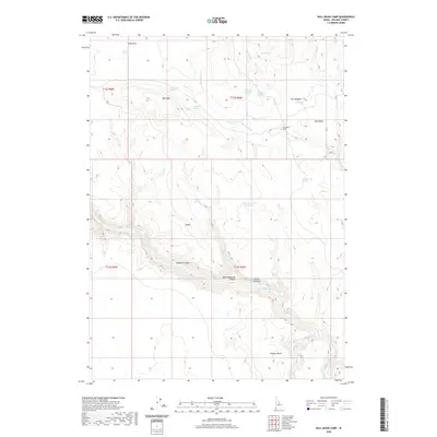
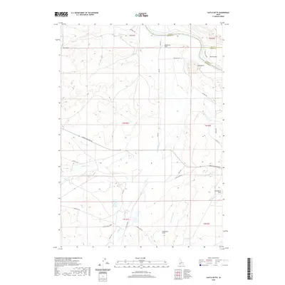
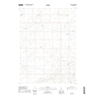
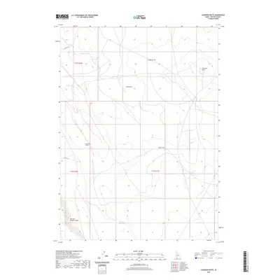
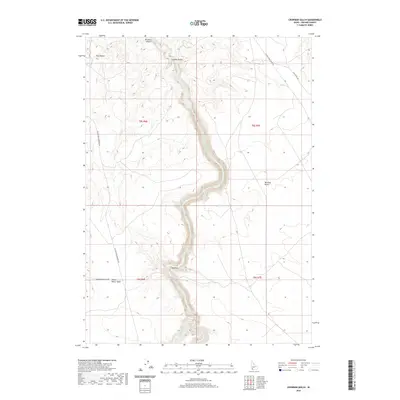
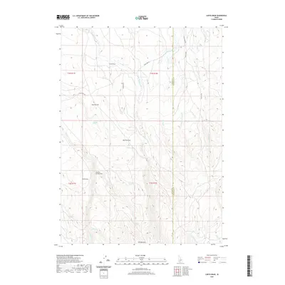
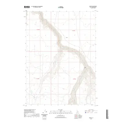
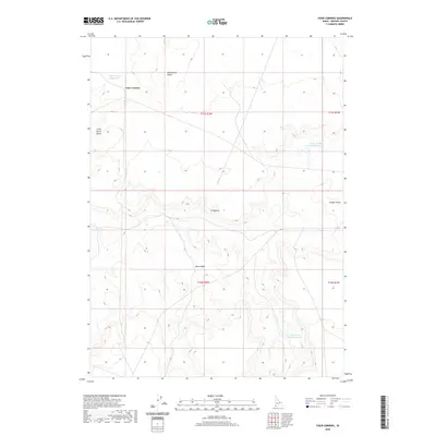
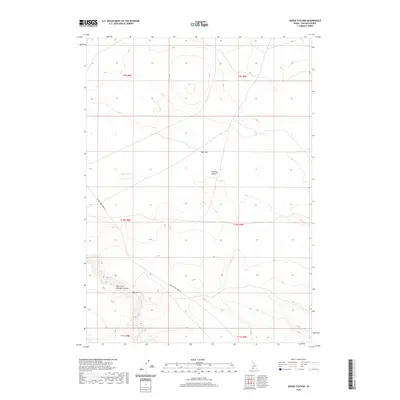
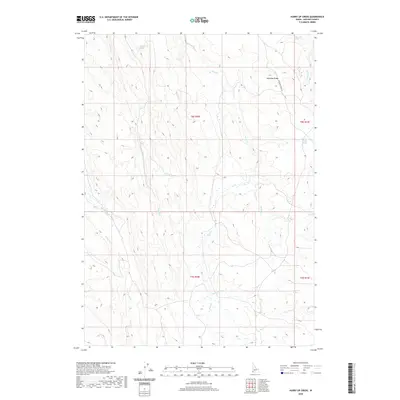
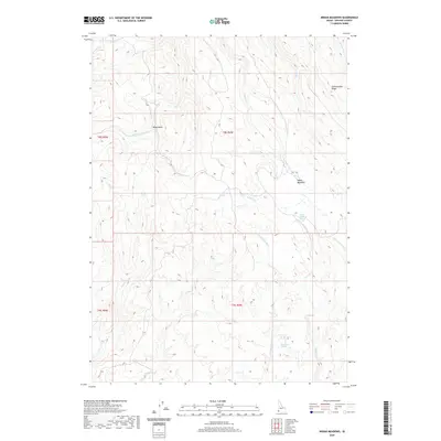
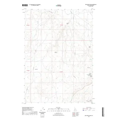
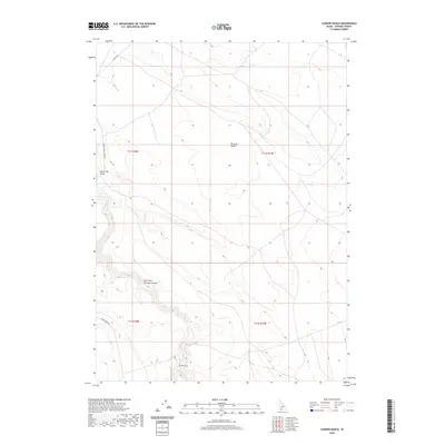
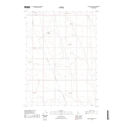
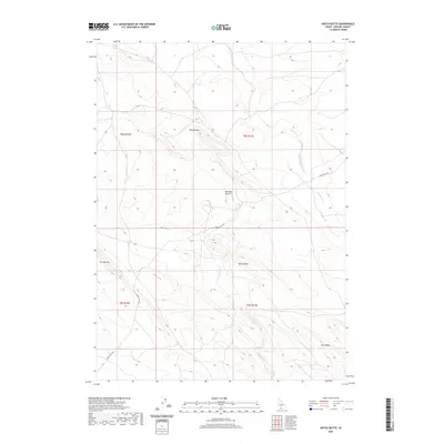
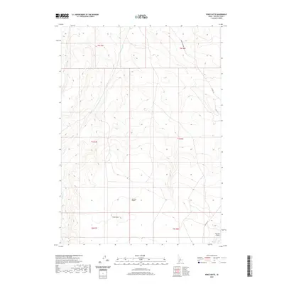
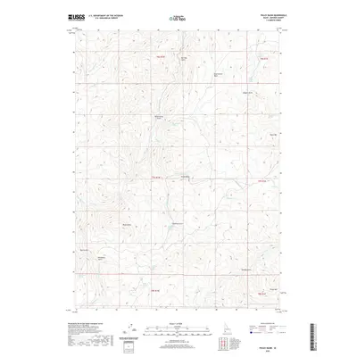
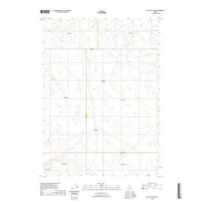
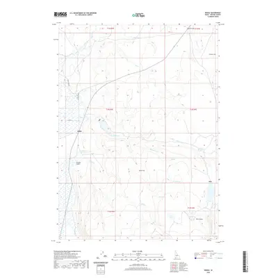
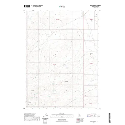
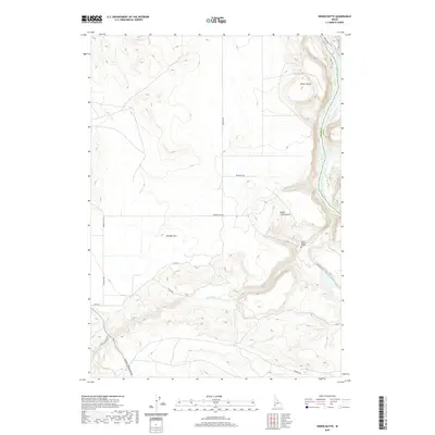
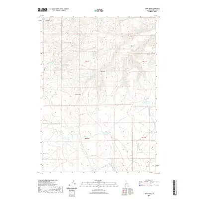
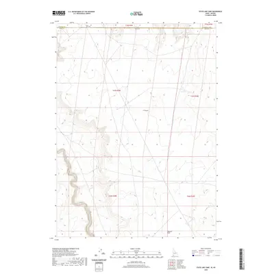
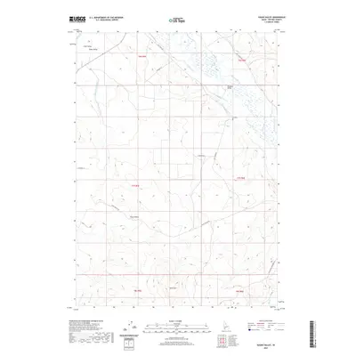
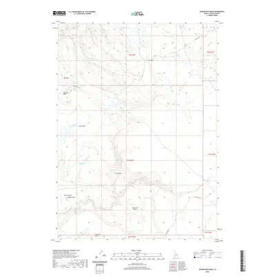
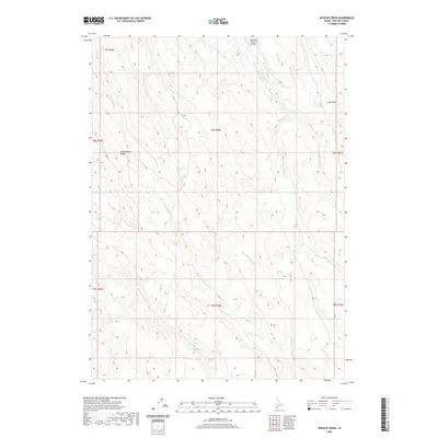
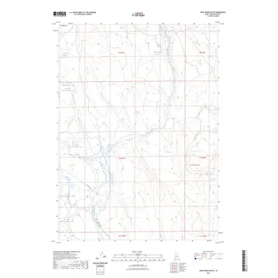
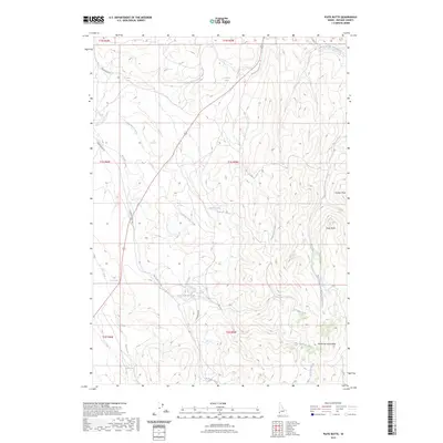
1981 Map of Pot Hole Butte
USGS Topo · Published 1981About this map
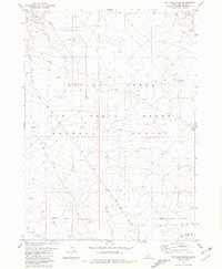
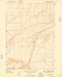
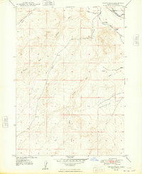
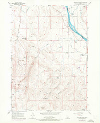
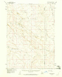
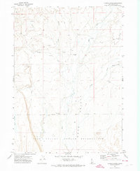
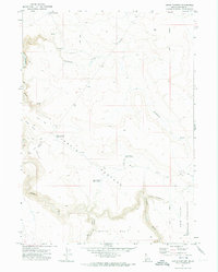
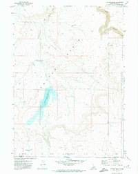
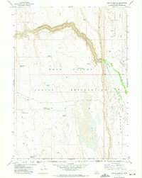
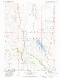
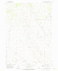
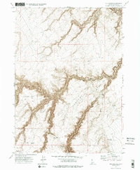
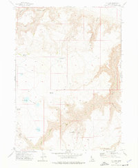
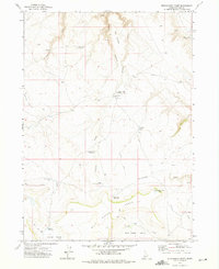
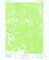
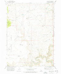
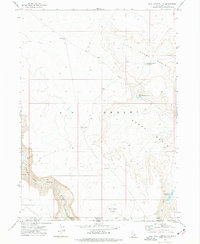
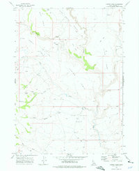
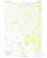
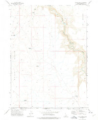
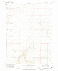
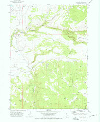
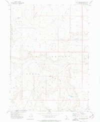
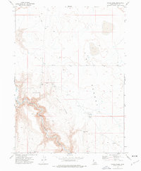
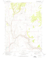
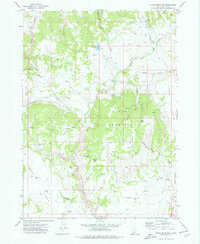
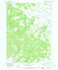
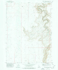
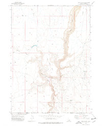
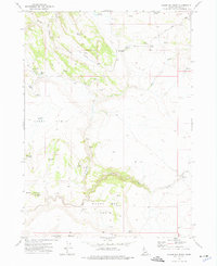
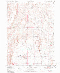
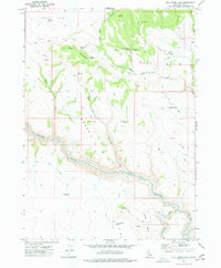
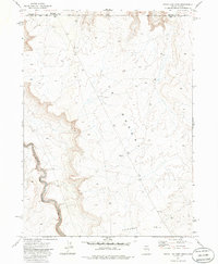
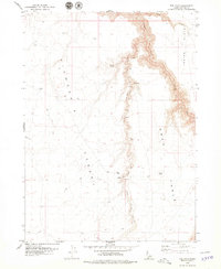
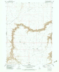
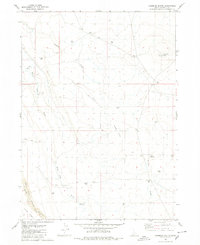
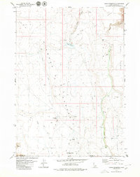
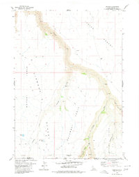
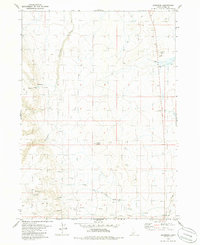
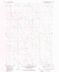
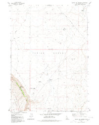
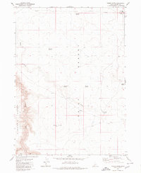
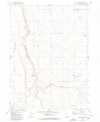
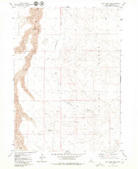
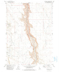
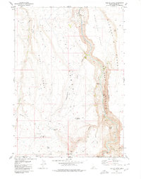
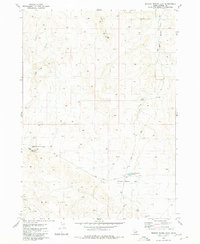
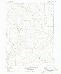
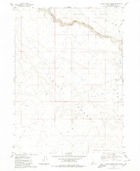
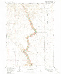
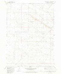
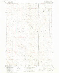
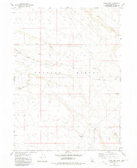
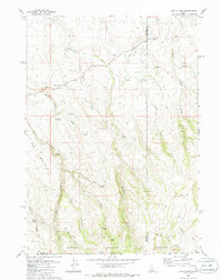
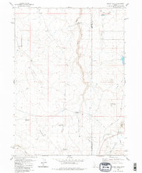
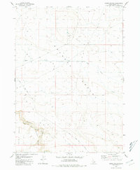
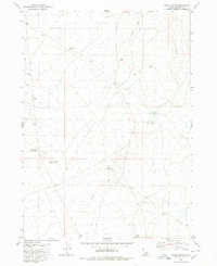
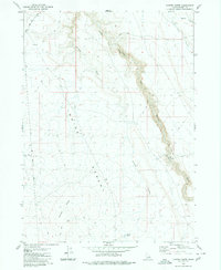
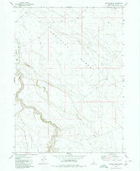
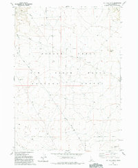
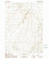
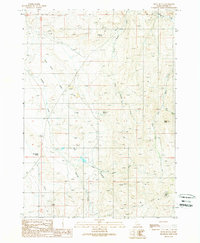
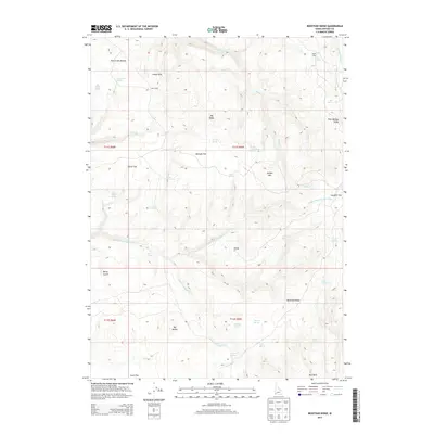
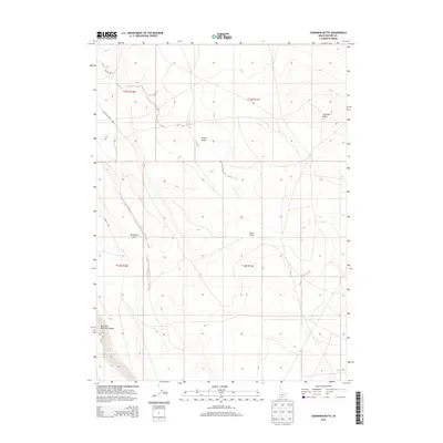
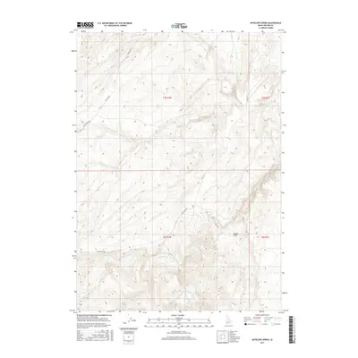
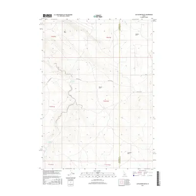
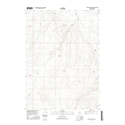
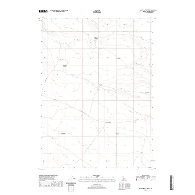
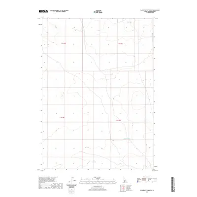
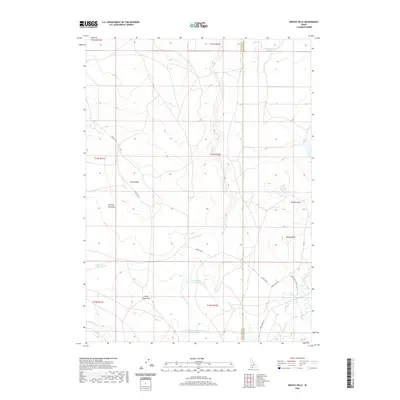
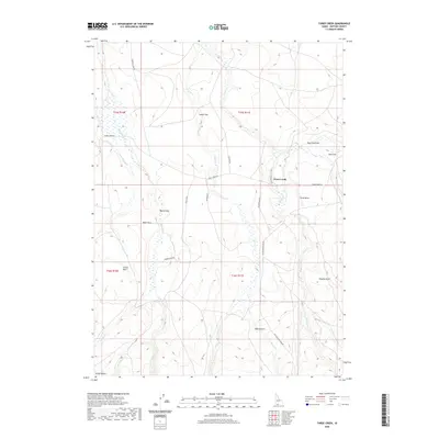
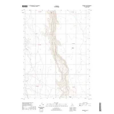
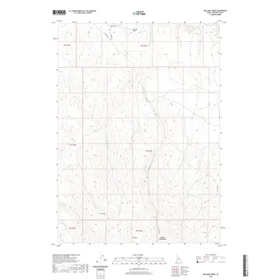
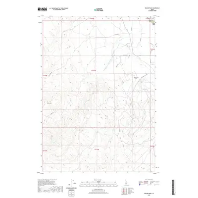
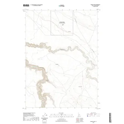
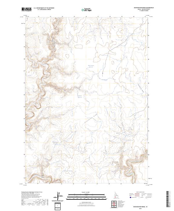
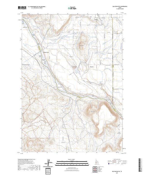
The Saylor Creek Air Force Range dominates the northern landscape of this map, characterized by its specialized infrastructure including multiple Targets and observation Towers. This military installation is situated within the expansive Bruneau Desert, where the high desert terrain is punctuated by volcanic features such as Pot Hole Butte and Winter Camp Butte. The arid environment is carved by seasonal drainage systems like Browns Creek and Clover Three Creek, which flow toward the Military Reservation Boundary.
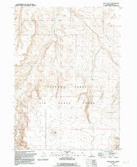
Find a feature on this map
16 named features on this map. Tap any name to fly to it.
Don’t see what you’re looking for? This feature index may not catch every label — zoom into the map to look around manually.
Map Details
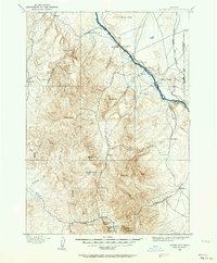
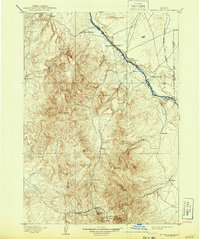
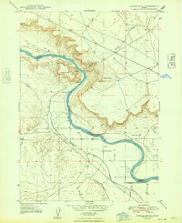
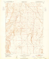
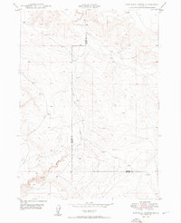
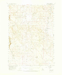
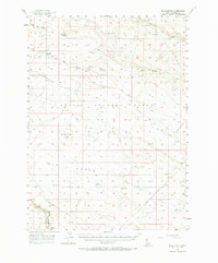
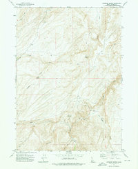
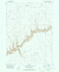
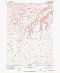
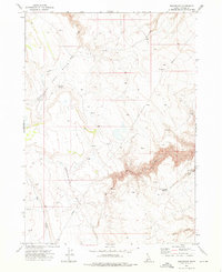
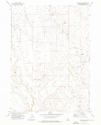
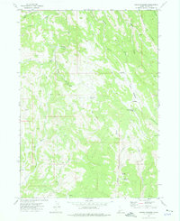
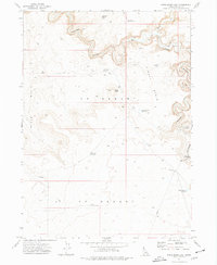
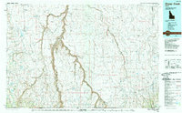
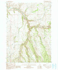
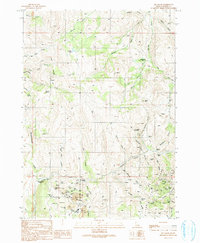
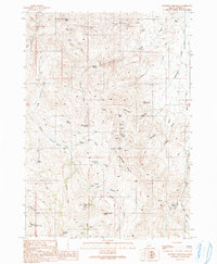
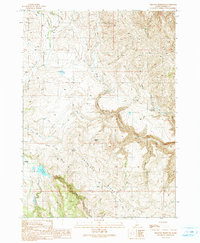
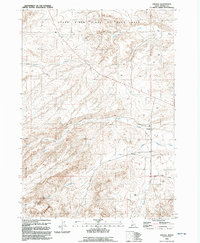
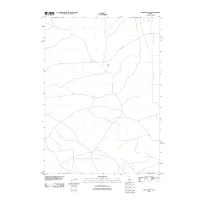
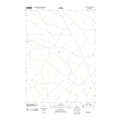
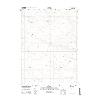
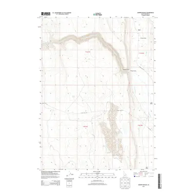
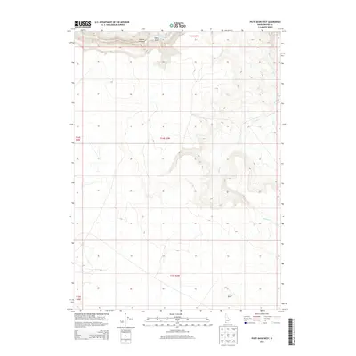
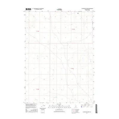
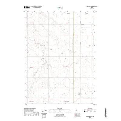
Editions of this 1981 Pot Hole Butte Map
2 editions found
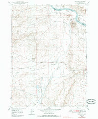
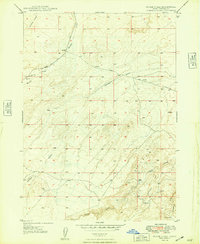
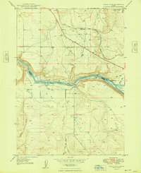
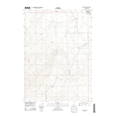
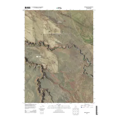
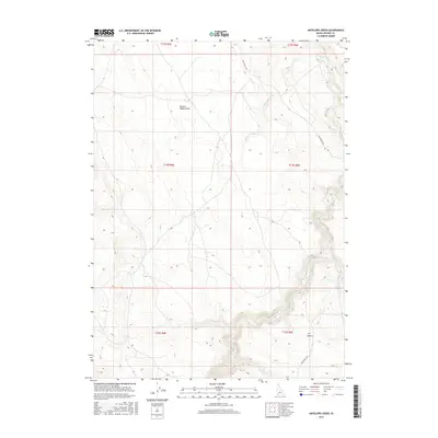
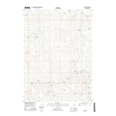
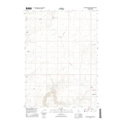
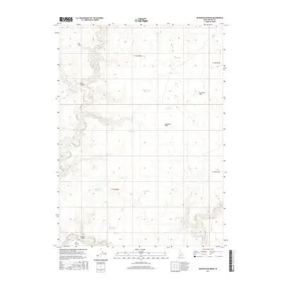
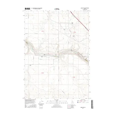
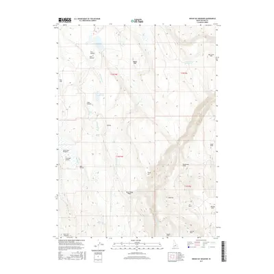
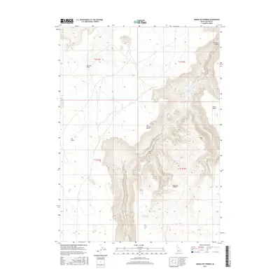
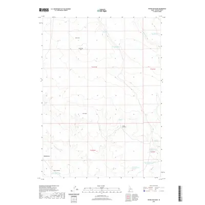
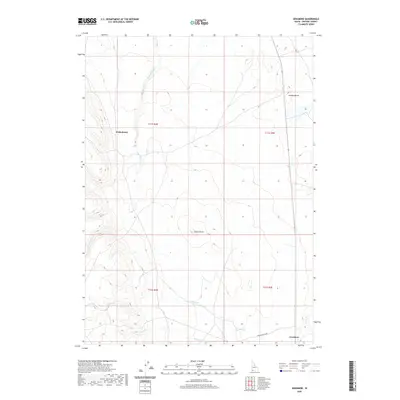
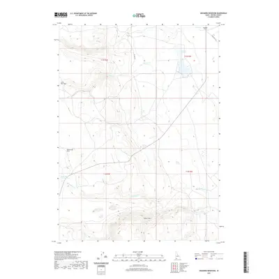
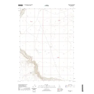
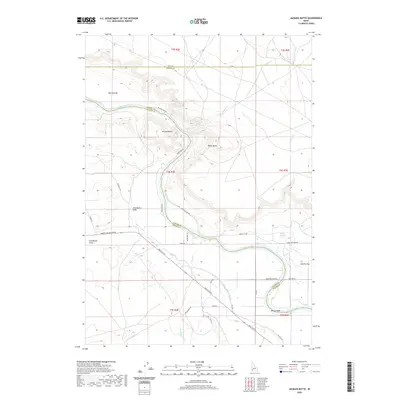
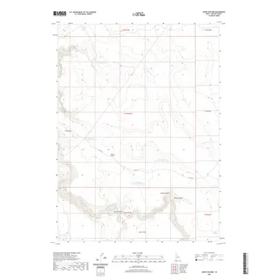
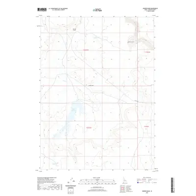
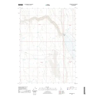
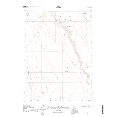
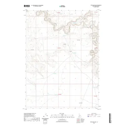
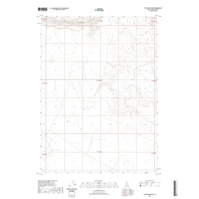
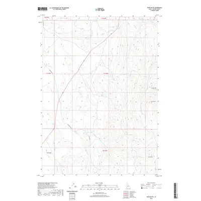
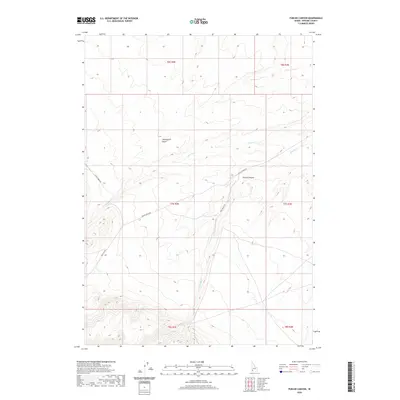
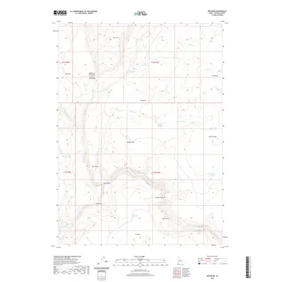
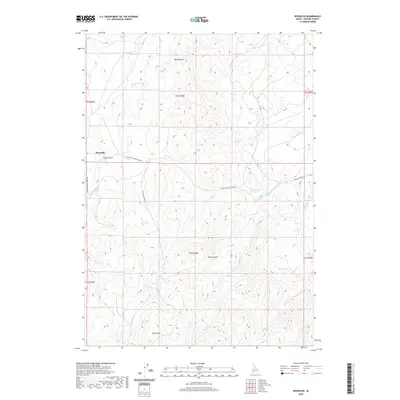
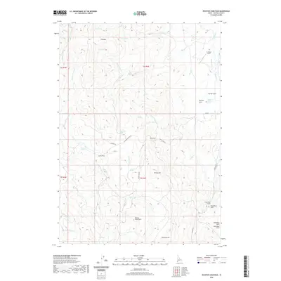
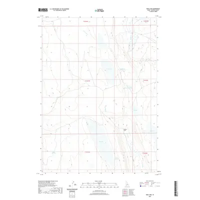
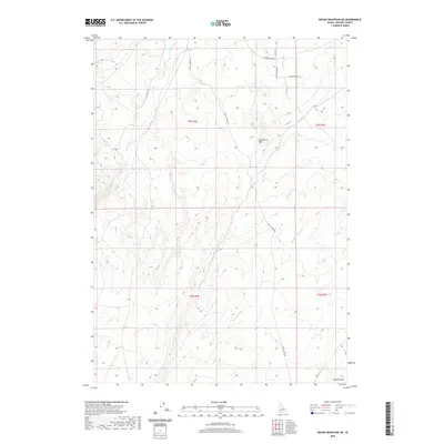
Historical Maps of Owyhee County Through Time
891 maps found
1892 Silver City
Owyhee County, ID

1894 Silver City
Owyhee County, ID
1898 Silver City
Owyhee County, ID
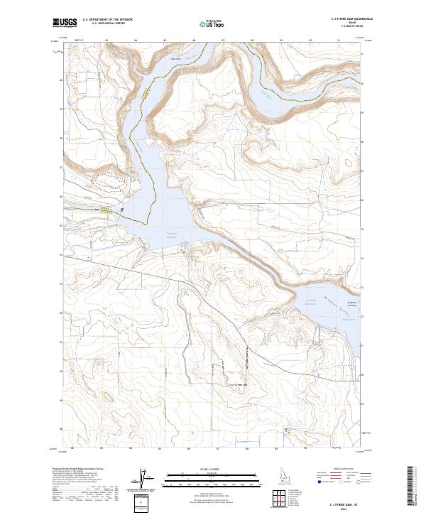
1946 C.J. Strike Dam
Owyhee County, ID
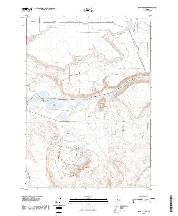
1947 Bruneau Dunes
Owyhee County, ID
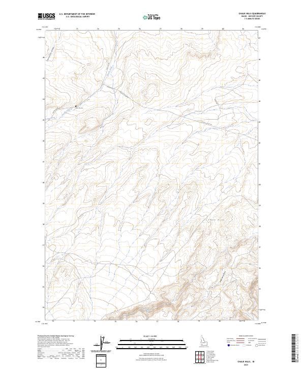
1947 Chalk Hills
Owyhee County, ID
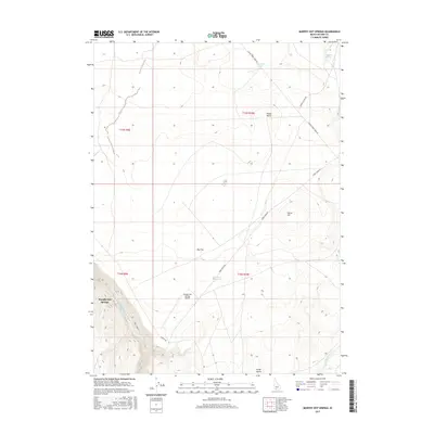
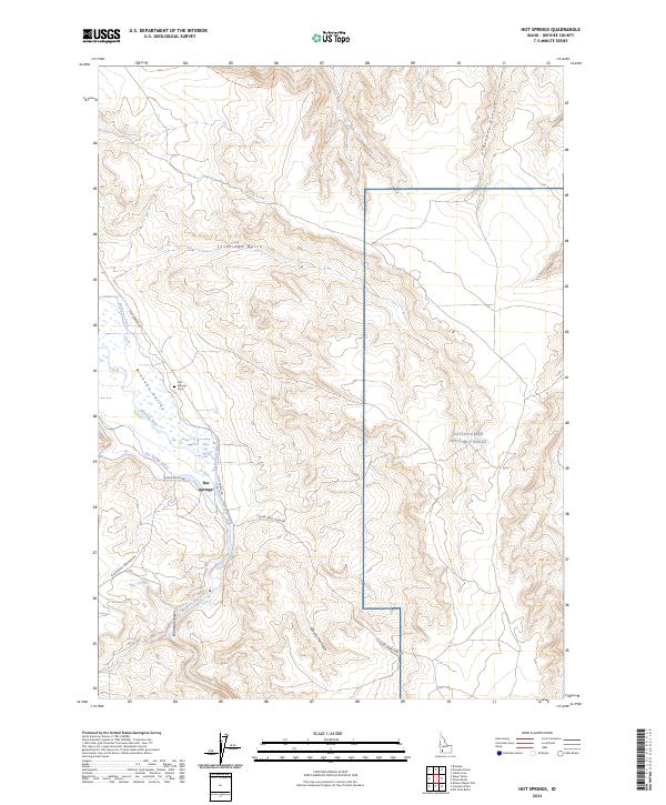
1947 Hot Spring
Owyhee County, ID
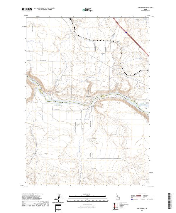
1947 Indian Cove
Owyhee County, ID
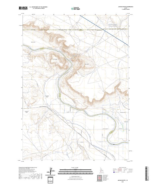
1947 Jackass Butte
Owyhee County, ID
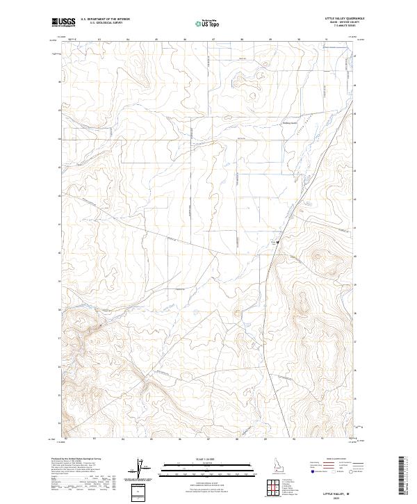
1947 Little Valley
Owyhee County, ID
1947 Perjue Canyon
Owyhee County, ID
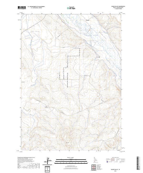
1947 Sugar Valley
Owyhee County, ID
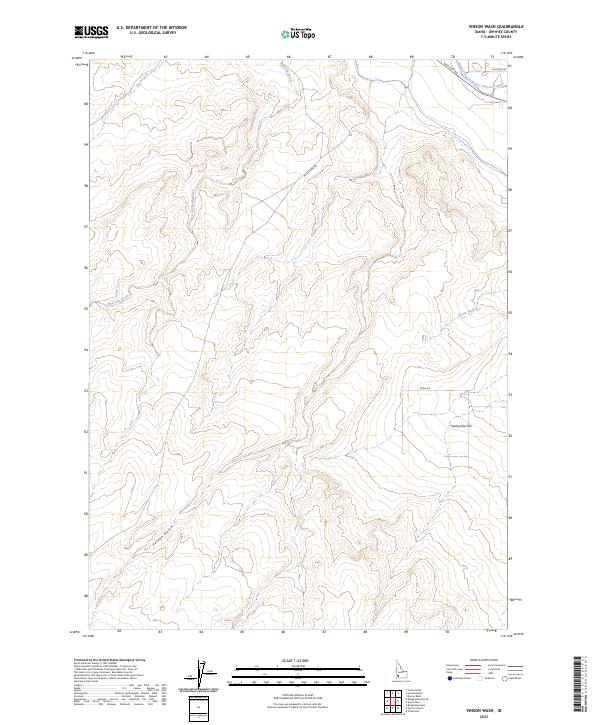
1947 Vinson Wash
Owyhee County, ID
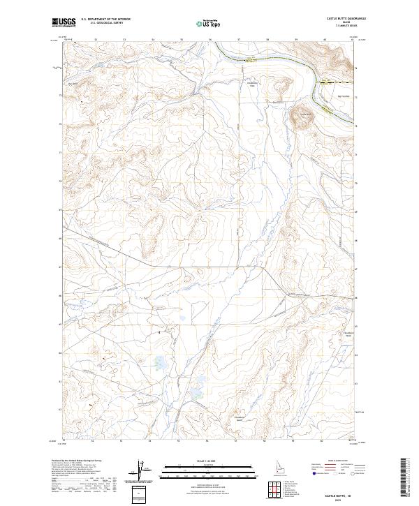
1948 Castle Butte
Owyhee County, ID
1948 Chalk Hills
Owyhee County, ID
1948 Indian Cove
Owyhee County, ID
1948 Indian Cove
Owyhee County, ID
1948 Jackass Butte
Owyhee County, ID
1948 Little Valley
Owyhee County, ID
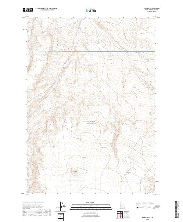
1948 Pence Butte
Owyhee County, ID
1948 Perjue Canyon
Owyhee County, ID
1948 Sand Dunes
Owyhee County, ID
1948 Sinker Butte
Owyhee County, ID
1948 Sugar Valley
Owyhee County, ID
1948 Vinson Wash
Owyhee County, ID
1949 Hot Spring
Owyhee County, ID
1949 Mouth of Bruneau
Owyhee County, ID
1949 Oreana
Owyhee County, ID
1949 Oreana
Owyhee County, ID
1949 Pence Butte
Owyhee County, ID
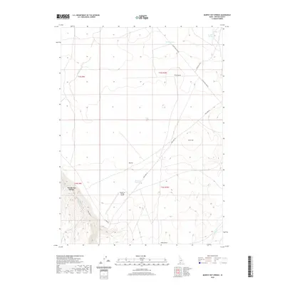
1949 Pot Hole Canyon
Owyhee County, ID
1949 Sinker Butte
Owyhee County, ID
1950 Oreana
Owyhee County, ID
1956 Big Hill
Owyhee County, ID
1956 Blue Butte
Owyhee County, ID
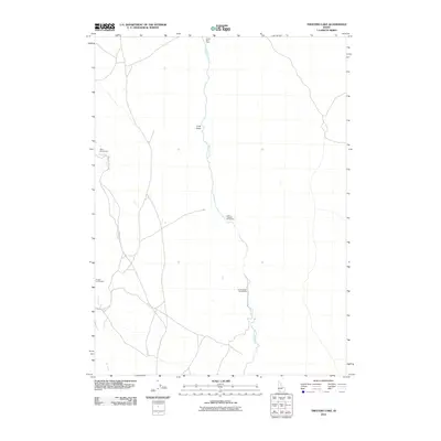
1956 Winter Camp
Owyhee County, ID
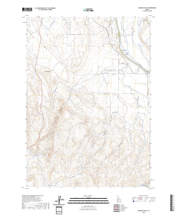
1957 Opalene Gulch
Owyhee County, ID
1957 Sands Basin
Owyhee County, ID
1957 Walters Butte
Owyhee County, ID
1957 Wilson Peak
Owyhee County, ID
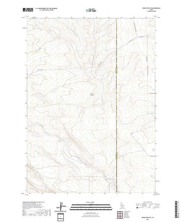
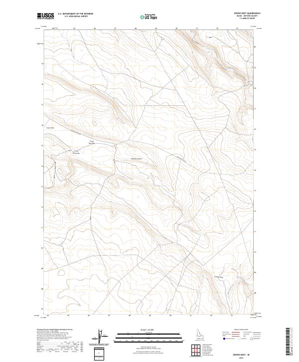
1959 Crows Nest
Owyhee County, ID
1965 Flint Creek
Owyhee County, ID
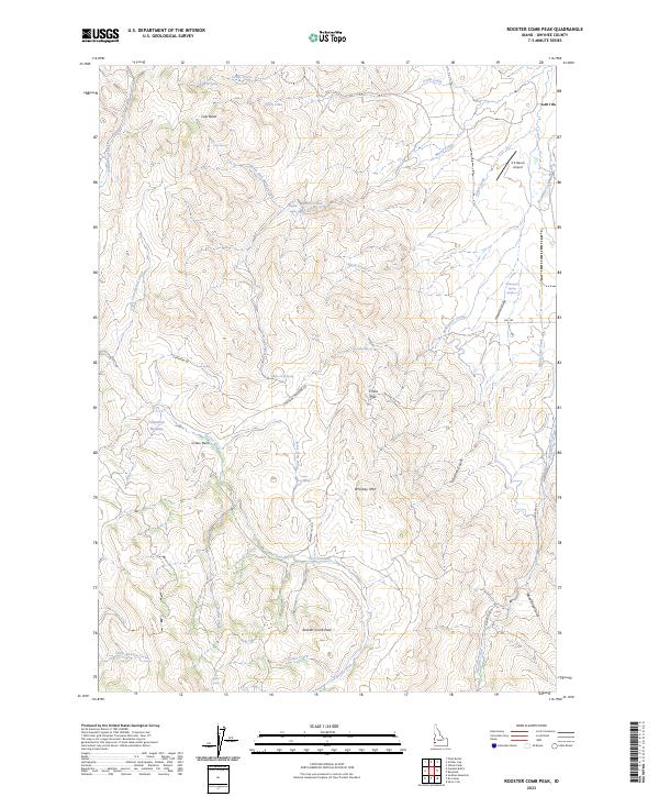
1965 Rooster Comb Peak
Owyhee County, ID
1965 Silver City
Owyhee County, ID
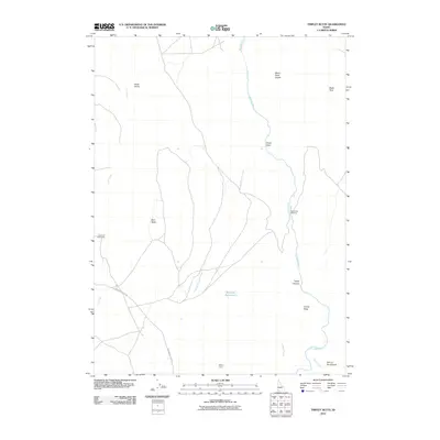
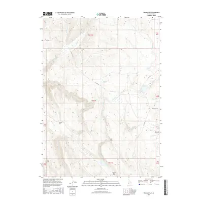
1965 Triangle
Owyhee County, ID
1971 Flying H Ranch
Owyhee County, ID
1971 Jarvis Pasture
Owyhee County, ID
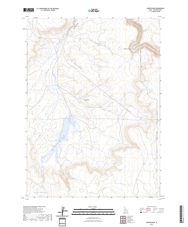
1971 Juniper Basin
Owyhee County, ID
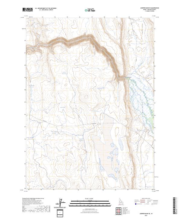
1971 Juniper Basin SE
Owyhee County, ID
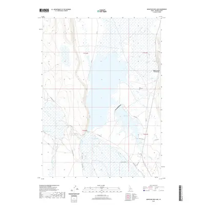
1971 Mountain View Lake
Owyhee County, ID
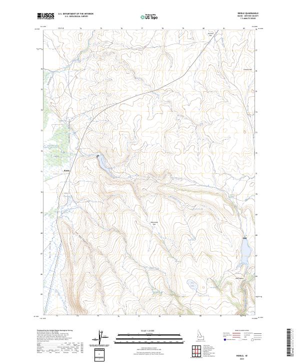
1971 Riddle
Owyhee County, ID
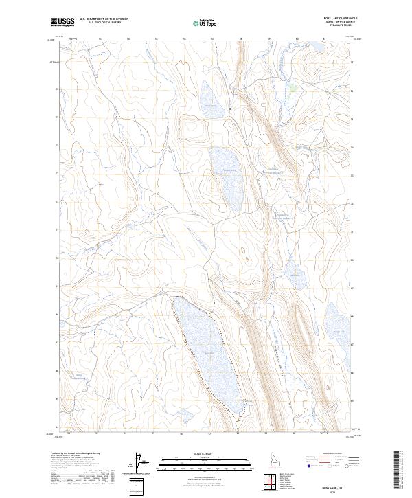
1971 Ross Lake
Owyhee County, ID
1971 Three Forks
Owyhee County, ID
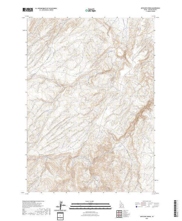
1972 Antelope Spring
Owyhee County, ID
1972 Battle Creek Lakes
Owyhee County, ID
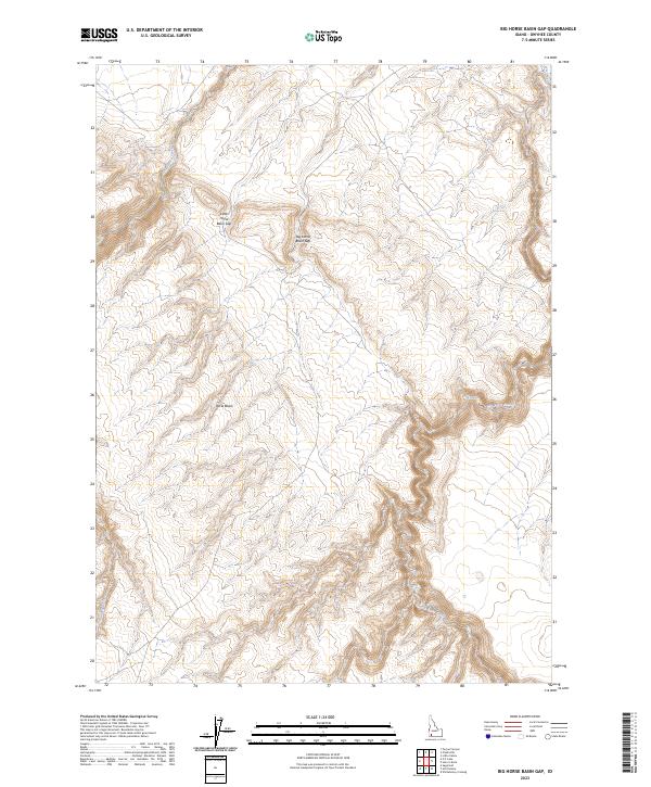
1972 Big Horse Basin Gap
Owyhee County, ID
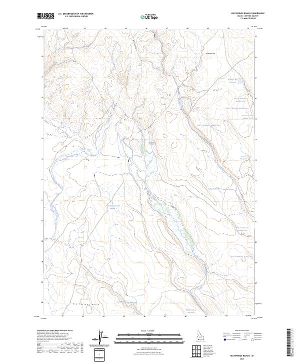
1972 Big Springs Ranch
Owyhee County, ID
1972 Clover Mtn
Owyhee County, ID
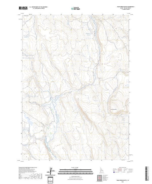
1972 Crab Spring Butte
Owyhee County, ID
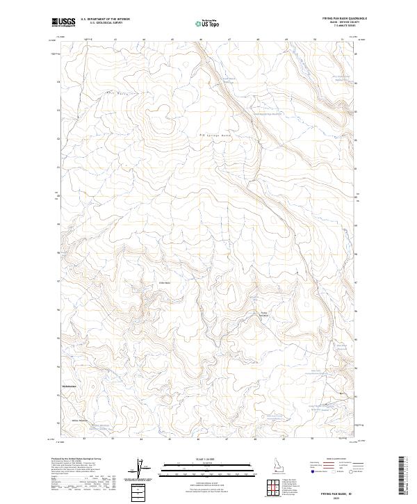
1972 Frying Pan Basin
Owyhee County, ID
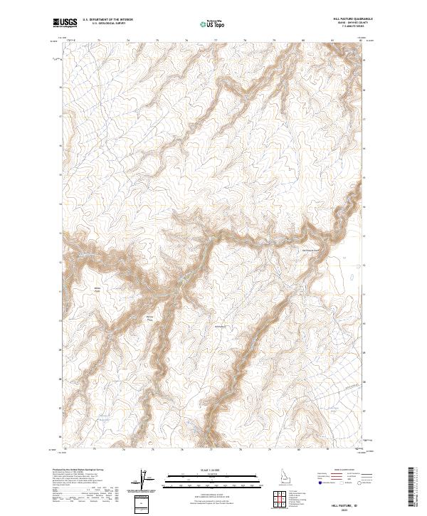
1972 Hill Pasture
Owyhee County, ID
1972 Little Blue Table
Owyhee County, ID
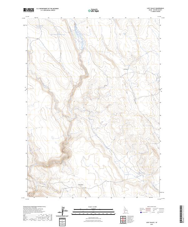
1972 Lost Valley
Owyhee County, ID
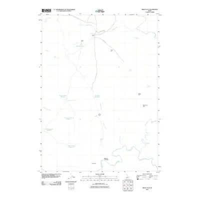
1972 Nichol Flat
Owyhee County, ID
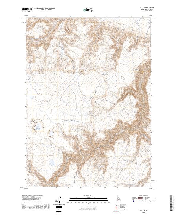
1972 O X Lake
Owyhee County, ID
1972 Pixley Basin
Owyhee County, ID
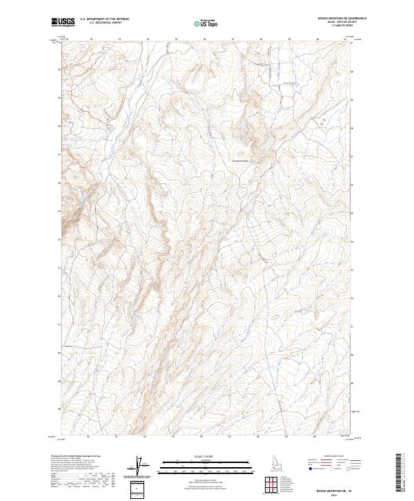
1972 Rough Mountain NE
Owyhee County, ID
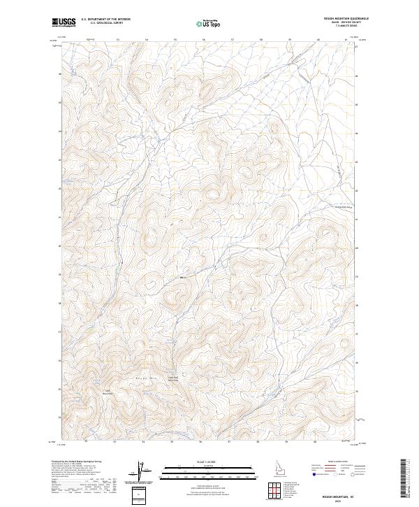
1972 Rough Mountain
Owyhee County, ID
1972 Shoofly Springs
Owyhee County, ID
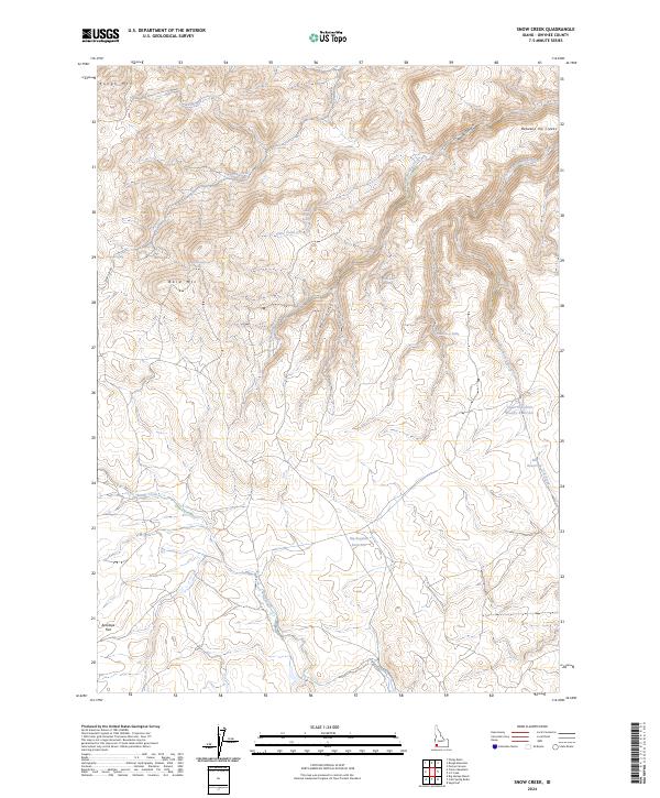
1972 Snow Creek
Owyhee County, ID
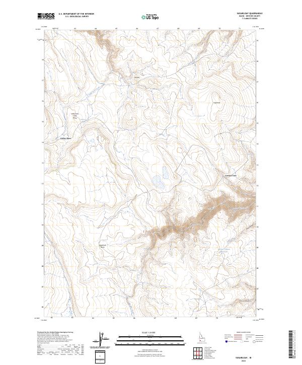
1972 Sugarloaf
Owyhee County, ID
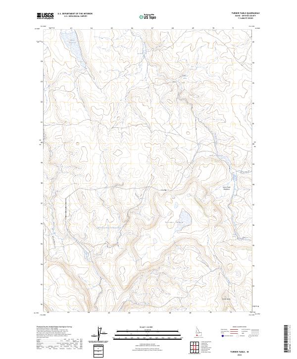
1972 Turner Table
Owyhee County, ID
1972 Wickahoney Point
Owyhee County, ID
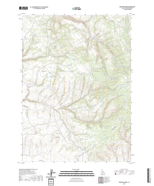
1973 Bedstead Ridge
Owyhee County, ID
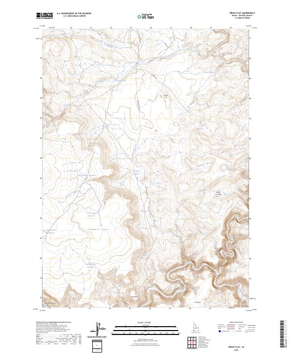
1973 Brace Flat
Owyhee County, ID
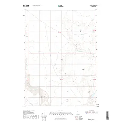
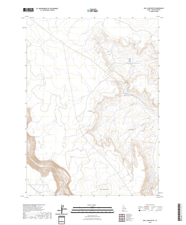
1973 Bull Camp Butte
Owyhee County, ID
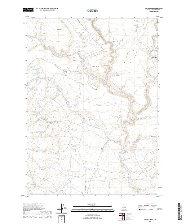
1973 Castro Table
Owyhee County, ID
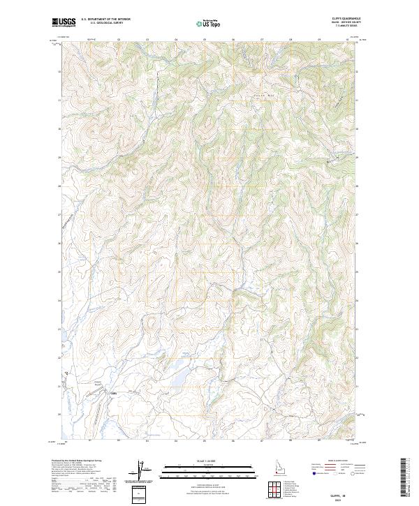
1973 Cliffs
Owyhee County, ID
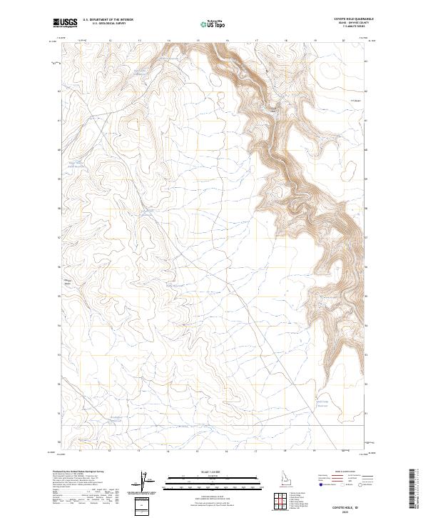
1973 Coyote Hole
Owyhee County, ID
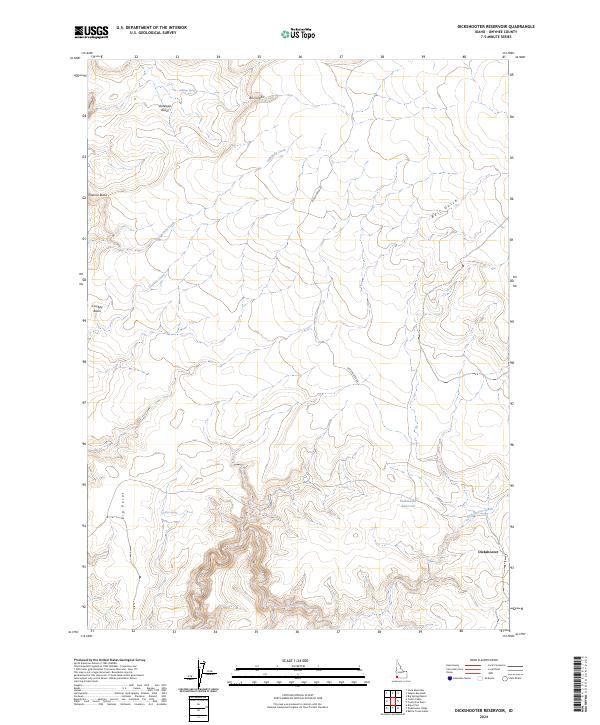
1973 Dickshooter Reservoir
Owyhee County, ID
1973 Dickshooter Ridge
Owyhee County, ID
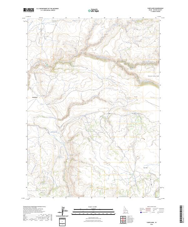
1973 Fairylawn
Owyhee County, ID
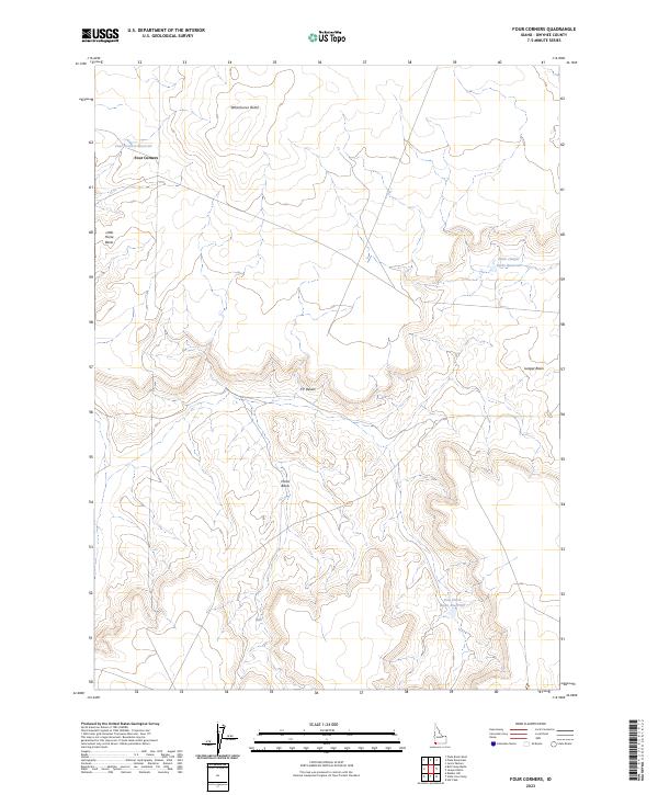
1973 Four Corners
Owyhee County, ID
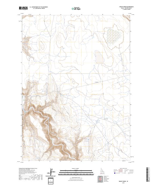
1973 Grassy Ridge
Owyhee County, ID
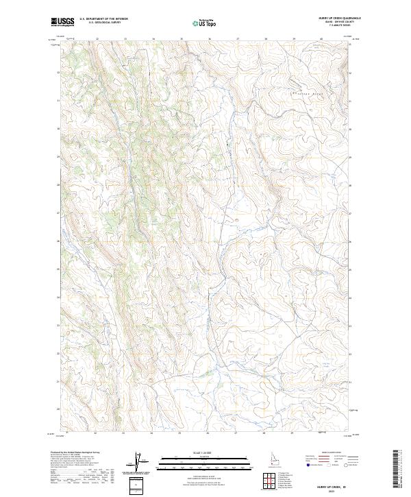
1973 Hurry Up Creek
Owyhee County, ID
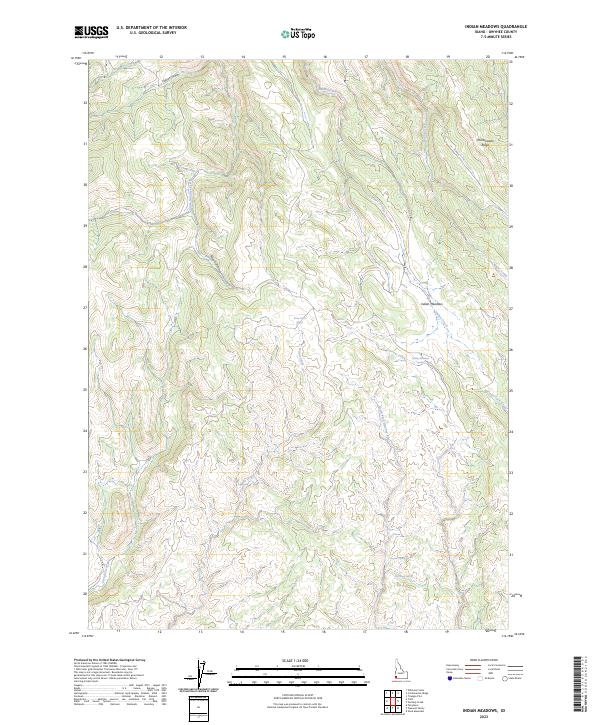
1973 Indian Meadows
Owyhee County, ID
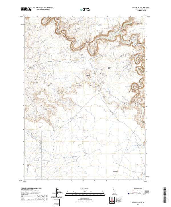
1973 Piute Basin East
Owyhee County, ID
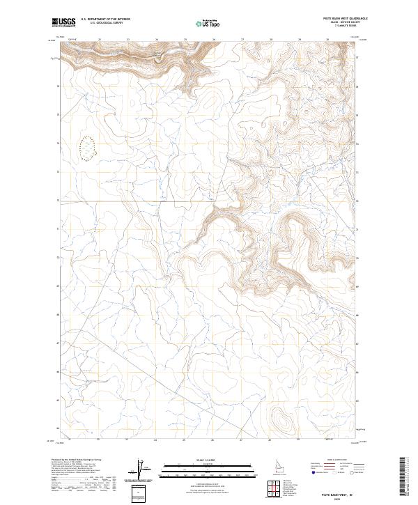
1973 Piute Basin West
Owyhee County, ID
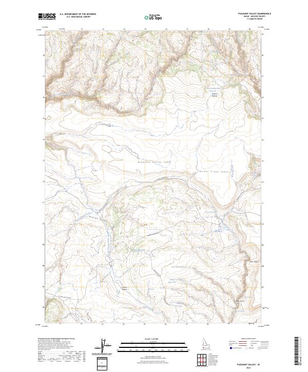
1973 Pleasant Valley
Owyhee County, ID
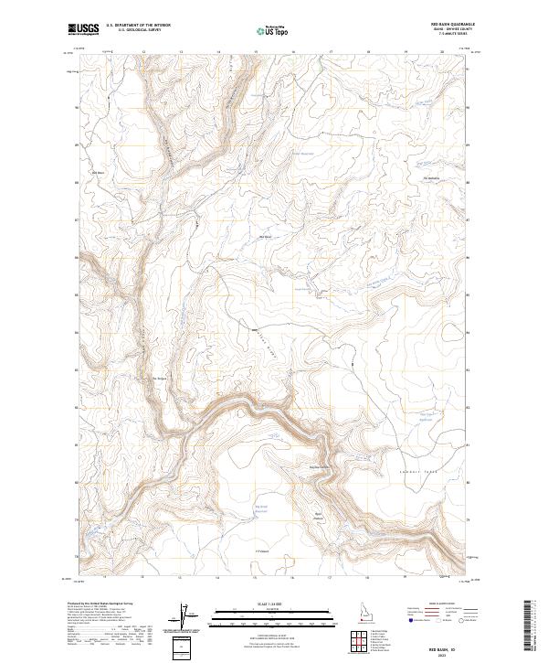
1973 Red Basin
Owyhee County, ID
1973 Slack Mountain
Owyhee County, ID
1973 Smith Creek
Owyhee County, ID
1973 Spring Creek Basin
Owyhee County, ID
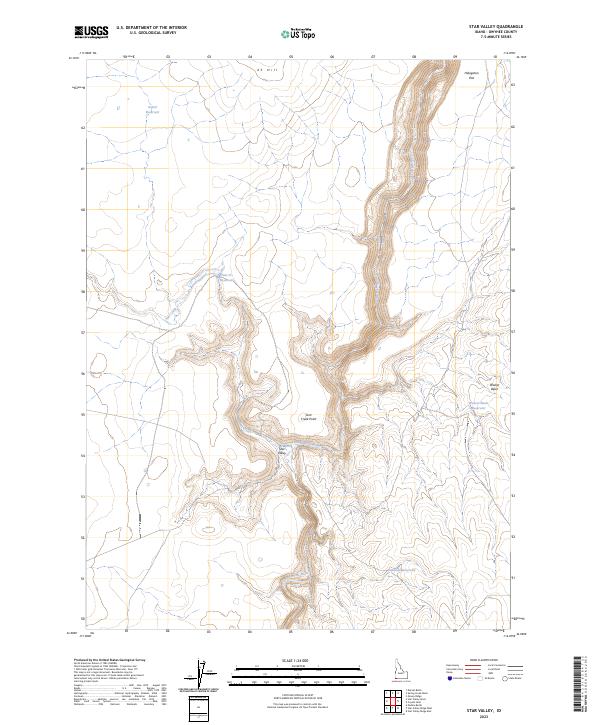
1973 Star Valley
Owyhee County, ID
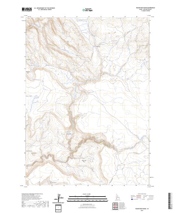
1973 Wagon Box Basin
Owyhee County, ID
1973 Wickiup Creek
Owyhee County, ID
1976 Pence Butte
Owyhee County, ID
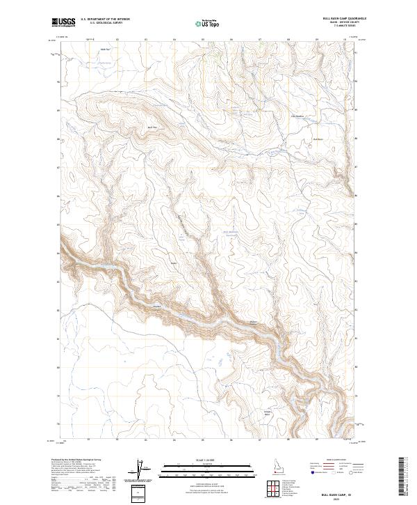
1977 Bull Basin Camp
Owyhee County, ID
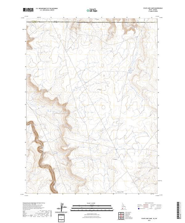
1977 State Line Camp
Owyhee County, ID
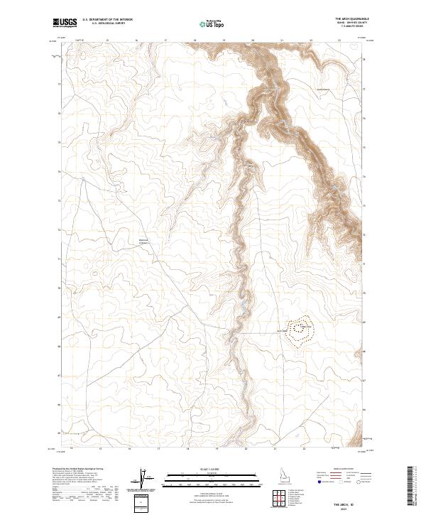
1978 The Arch
Owyhee County, ID
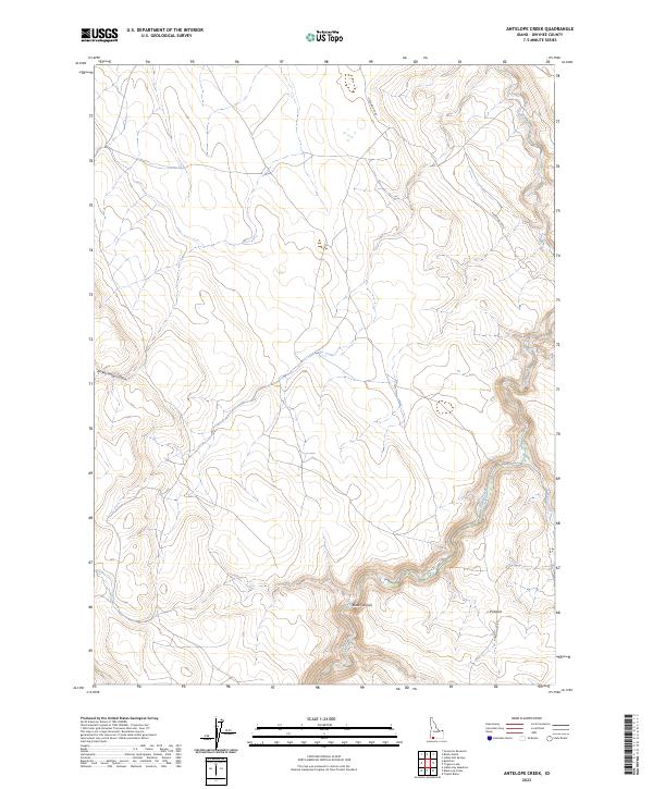
1979 Antelope Creek
Owyhee County, ID
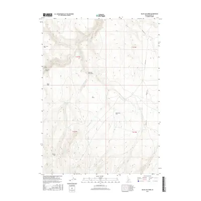
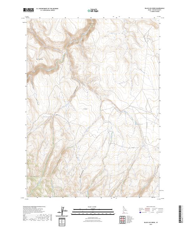
1979 Black Leg Creek
Owyhee County, ID
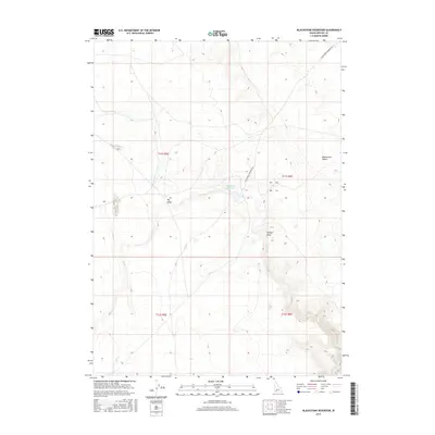
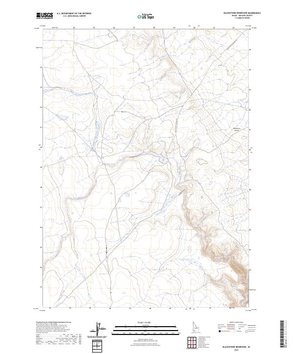
1979 Blackstone Reservoir
Owyhee County, ID
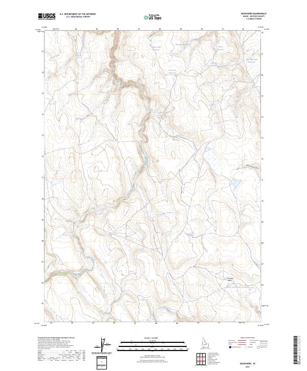
1979 Buckhorn
Owyhee County, ID
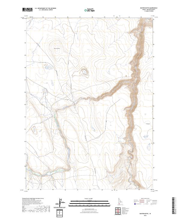
1979 Buster Butte
Owyhee County, ID
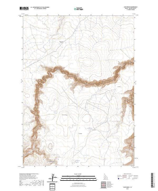
1979 Cave Draw
Owyhee County, ID
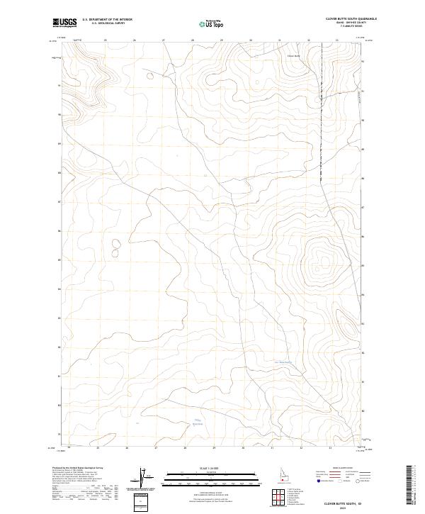
1979 Clover Butte South
Owyhee County, ID
1979 Coonskin Butte NE
Owyhee County, ID
1979 Coonskin Butte
Owyhee County, ID
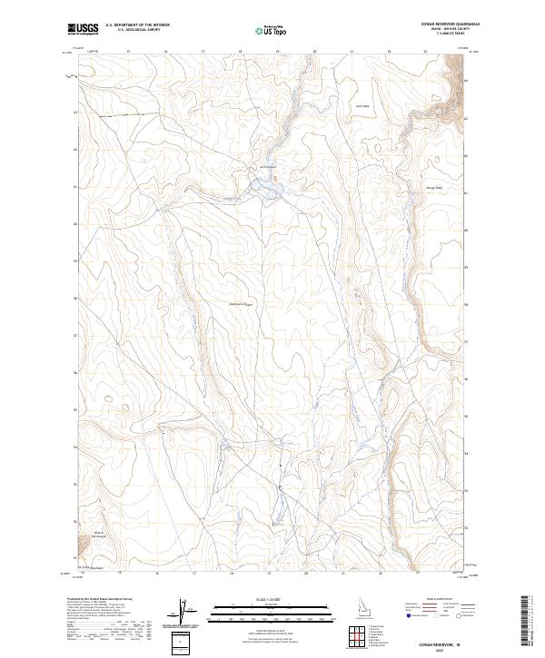
1979 Cowan Reservoir
Owyhee County, ID
1979 Dishpan
Owyhee County, ID
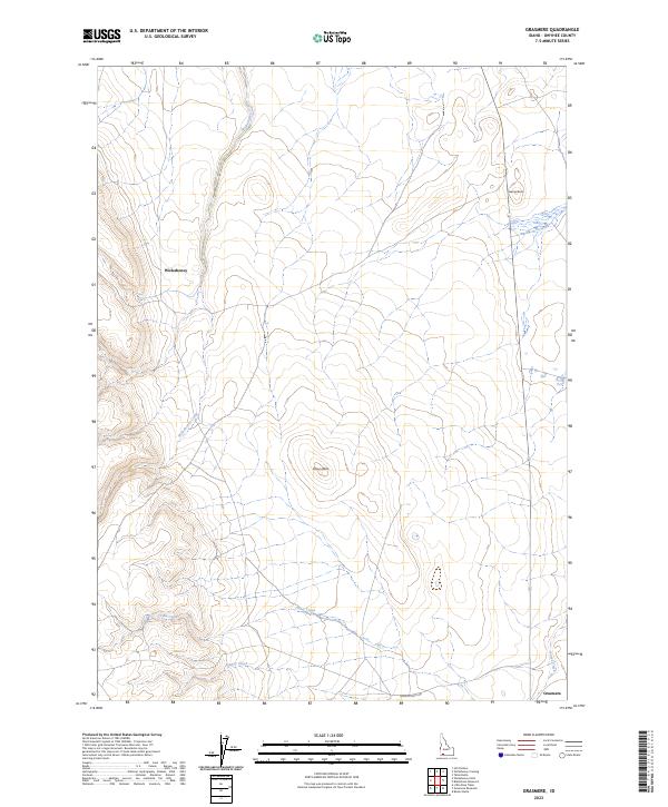
1979 Grasmere
Owyhee County, ID
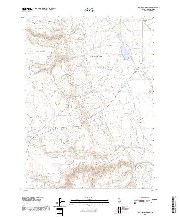
1979 Grasmere Reservoir
Owyhee County, ID
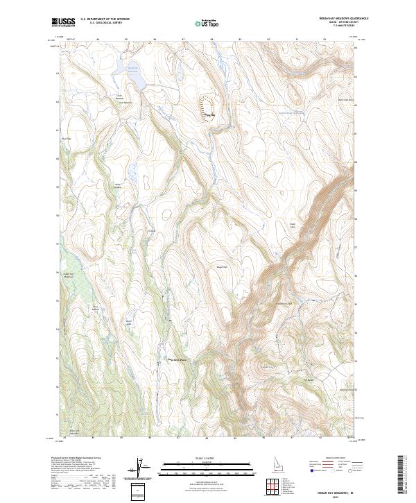
1979 Indian Hay Meadows
Owyhee County, ID
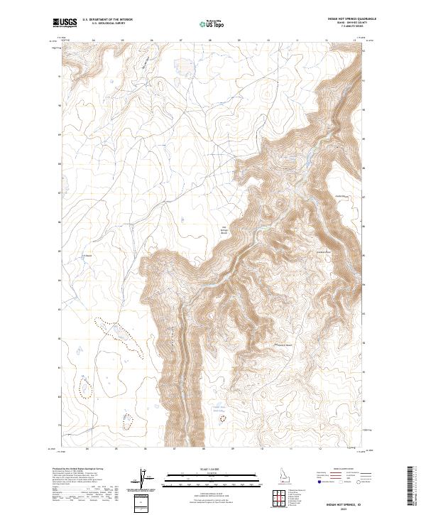
1979 Indian Hot Springs
Owyhee County, ID
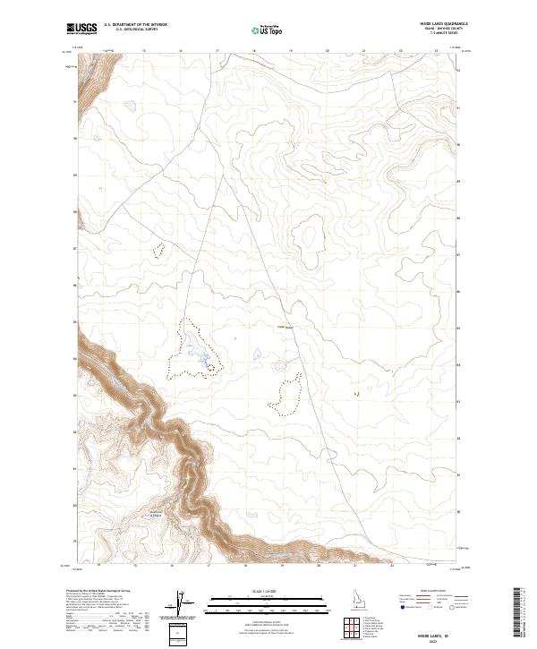
1979 Inside Lakes
Owyhee County, ID
1979 Mosquito Lake Butte
Owyhee County, ID
1979 Murphy Hot Springs
Owyhee County, ID
1979 Poison Butte
Owyhee County, ID
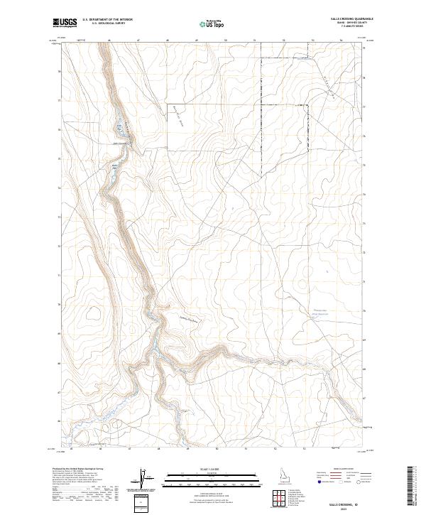
1979 Salls Crossing
Owyhee County, ID
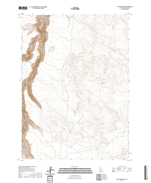
1979 Stiff Tree Draw
Owyhee County, ID
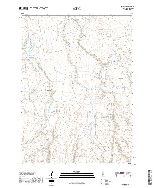
1979 Three Creek
Owyhee County, ID
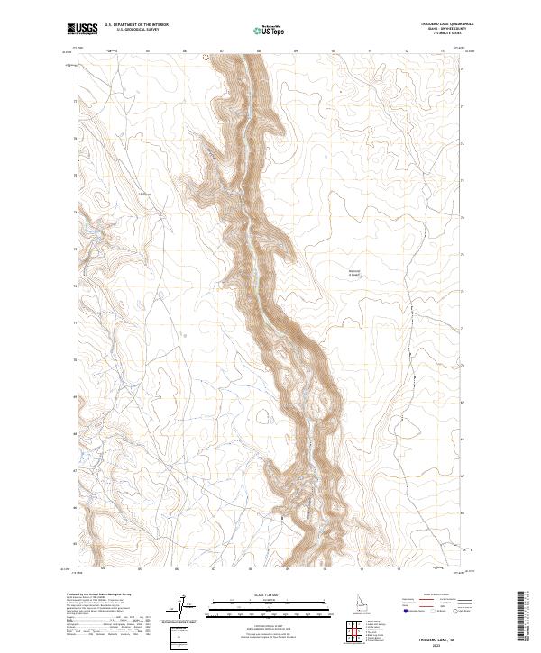
1979 Triguero Lake
Owyhee County, ID
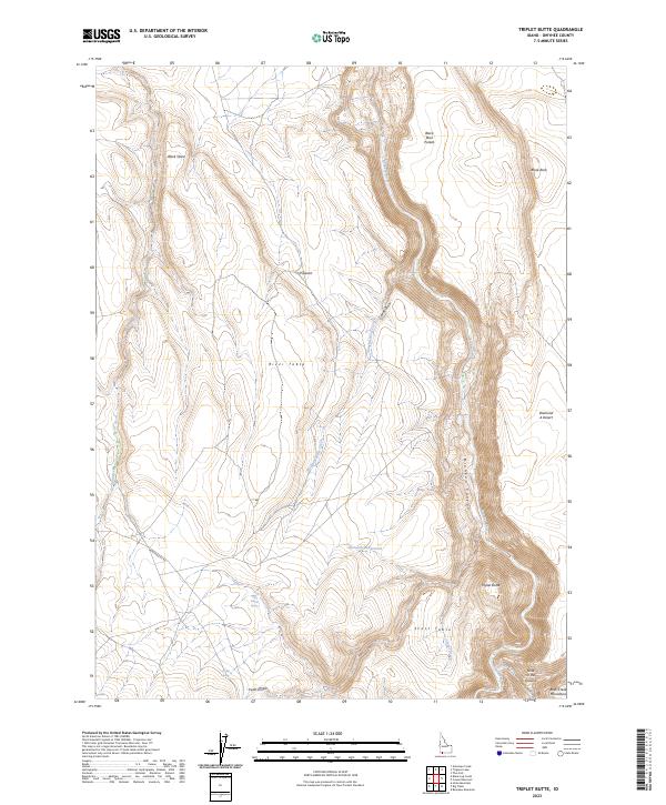
1979 Triplet Butte
Owyhee County, ID
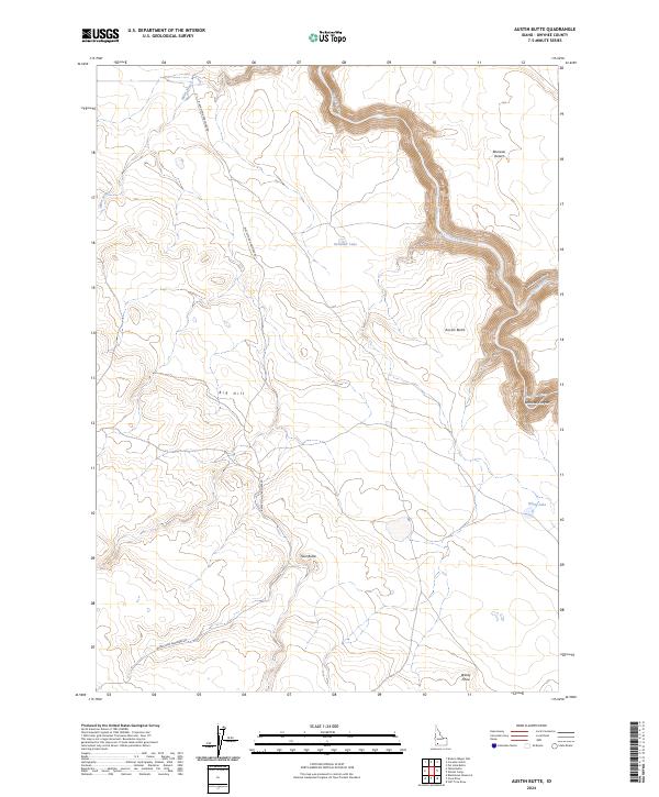
1980 Austin Butte
Owyhee County, ID
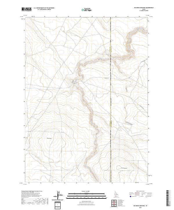
1980 Big Bend Crossing
Owyhee County, ID
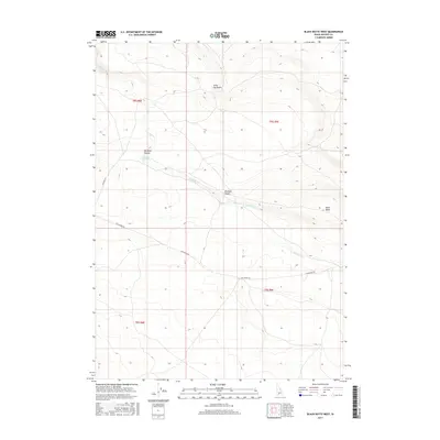
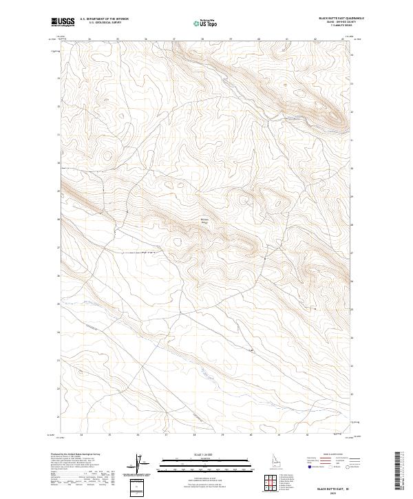
1980 Black Butte East
Owyhee County, ID
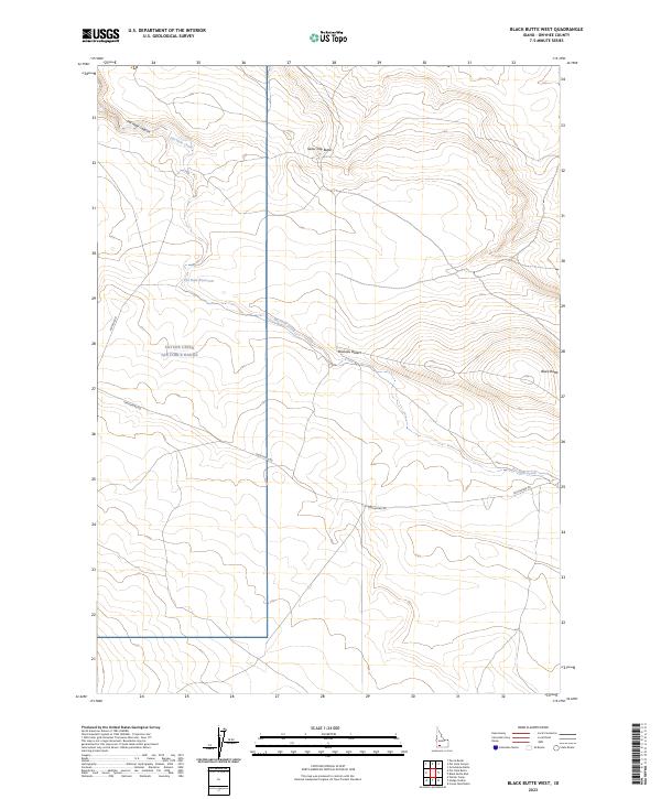
1980 Black Butte West
Owyhee County, ID
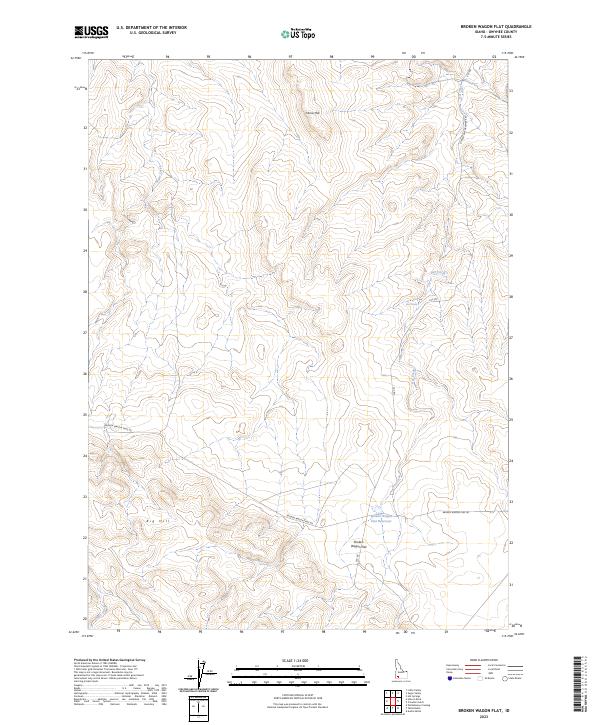
1980 Broken Wagon Flat
Owyhee County, ID
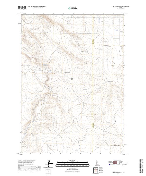
1980 Castleford Butte
Owyhee County, ID
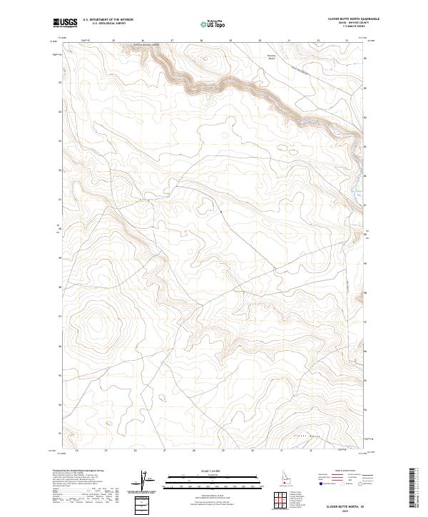
1980 Clover Butte North
Owyhee County, ID
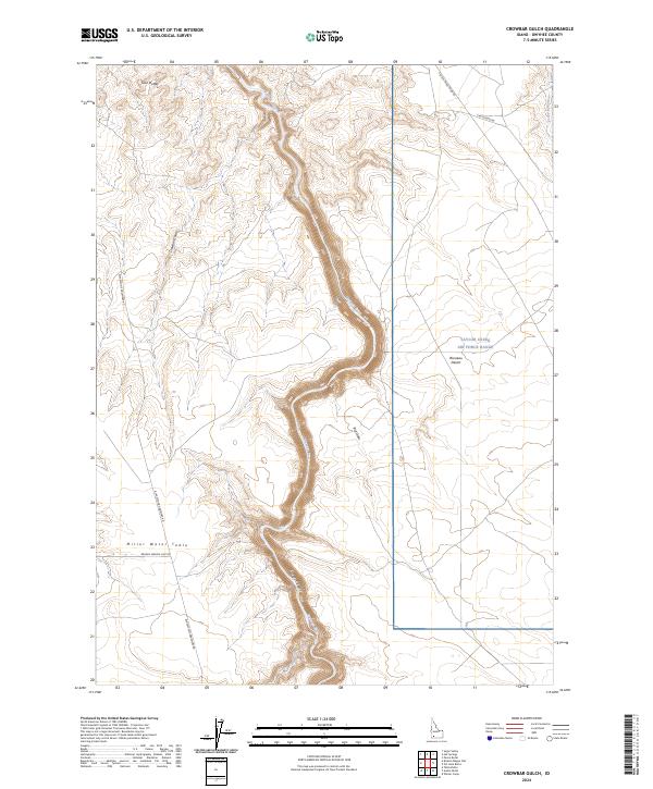
1980 Crowbar Gulch
Owyhee County, ID
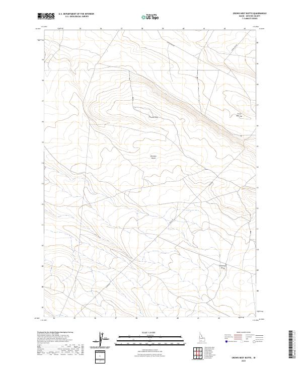
1980 Crows Nest Butte
Owyhee County, ID
1980 Crows Nest NE
Owyhee County, ID
1980 Crows Nest
Owyhee County, ID
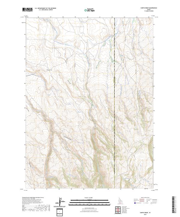
1980 Curtis Draw
Owyhee County, ID
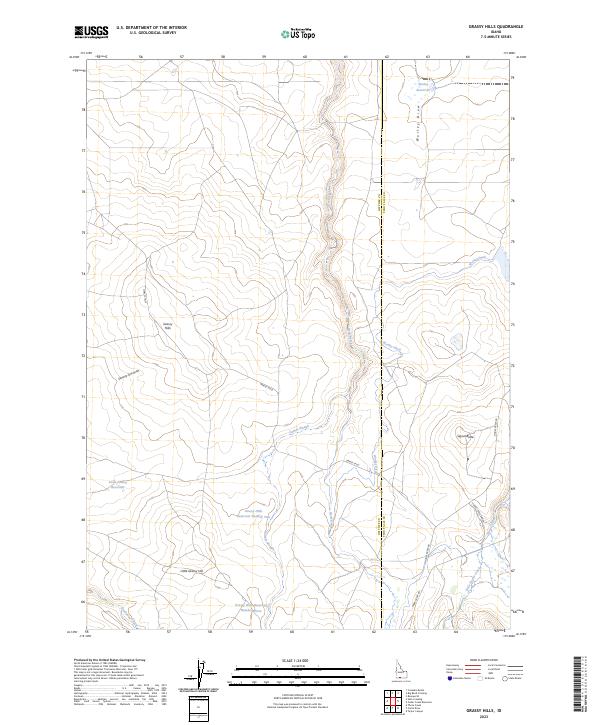
1980 Grassy Hills
Owyhee County, ID
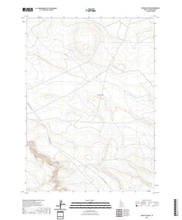
1980 Hodge Station
Owyhee County, ID

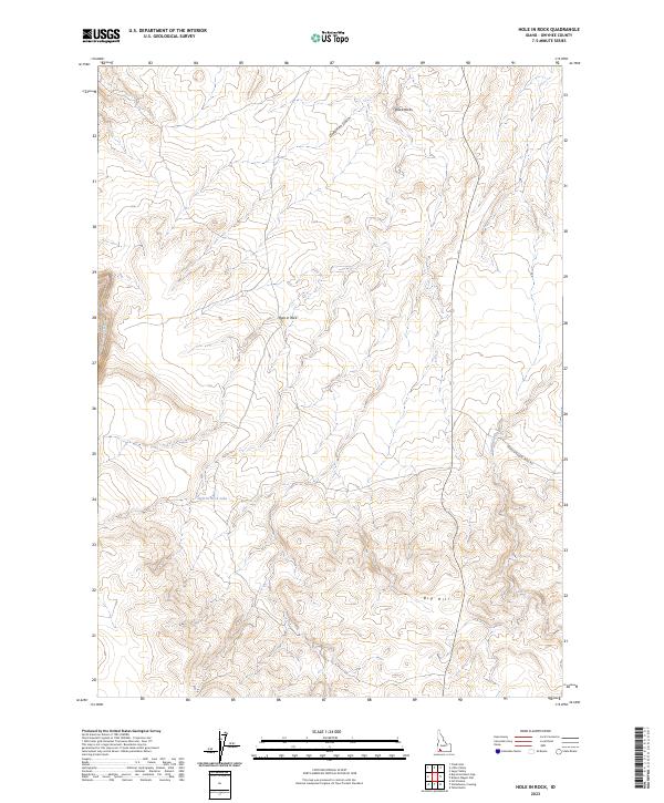
1980 Hole In Rock
Owyhee County, ID
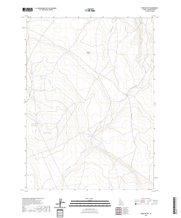
1980 Horse Butte
Owyhee County, ID
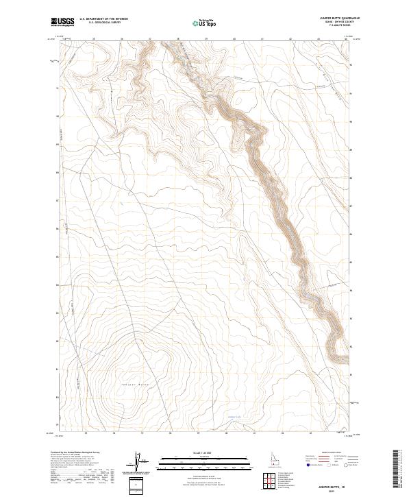
1980 Juniper Butte
Owyhee County, ID
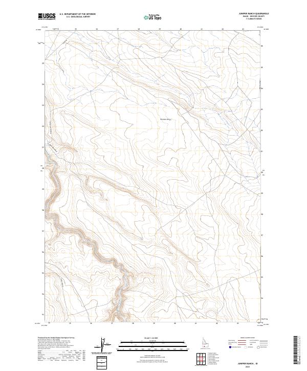
1980 Juniper Ranch
Owyhee County, ID
1980 Notch Butte
Owyhee County, ID
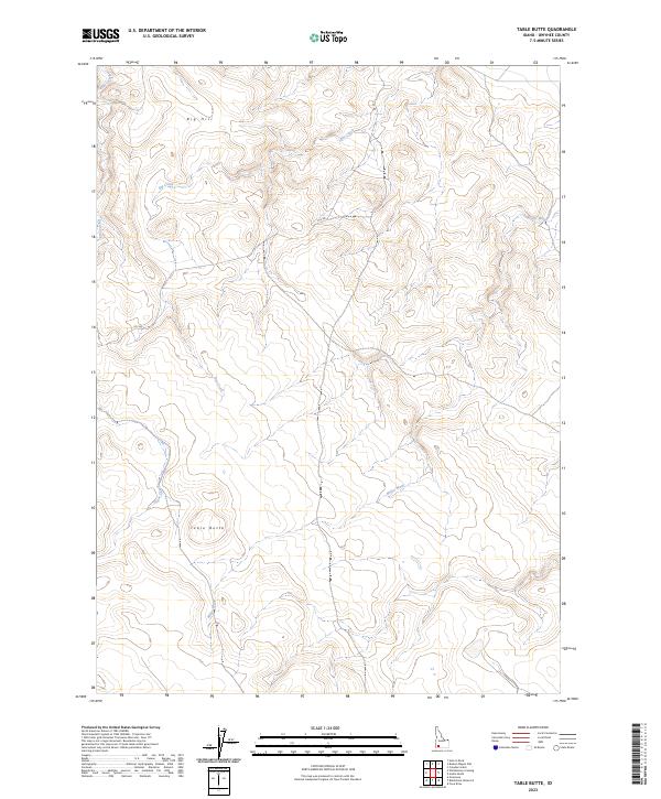
1980 Table Butte
Owyhee County, ID
1980 Wickahoney Crossing
Owyhee County, ID
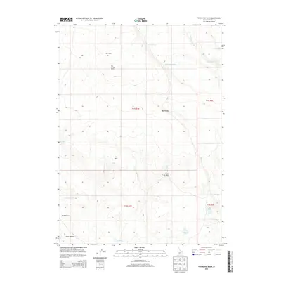
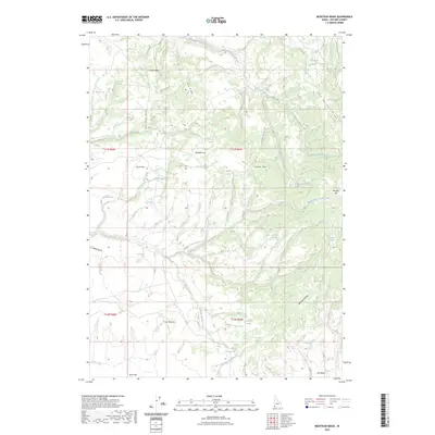
1980 Winter Camp
Owyhee County, ID
1981 Pot Hole Butte
Owyhee County, ID
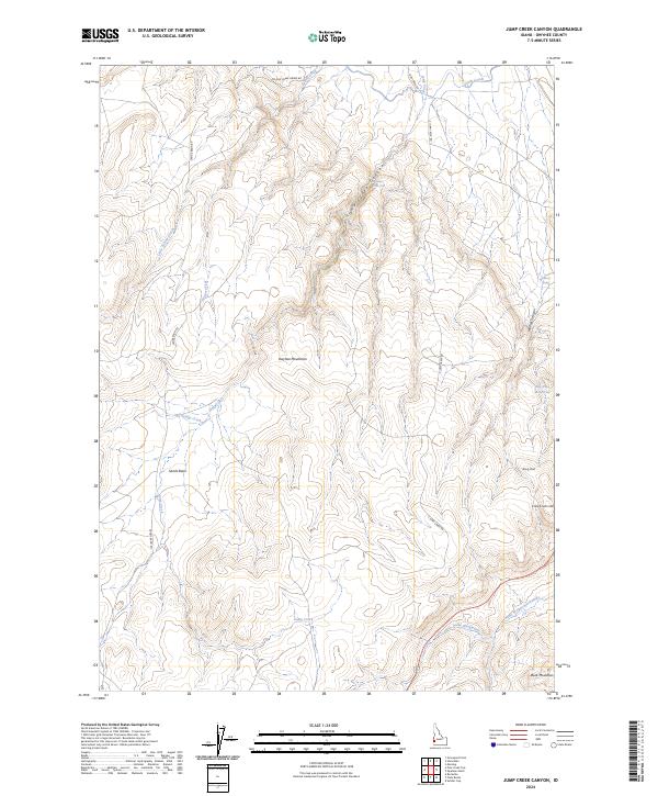
1989 Jump Creek Canyon
Owyhee County, ID
1989 Piute Butte
Owyhee County, ID
1989 Riddle
Owyhee County, ID
1989 Sheep Creek
Owyhee County, ID
1989 Soldier Cap
Owyhee County, ID
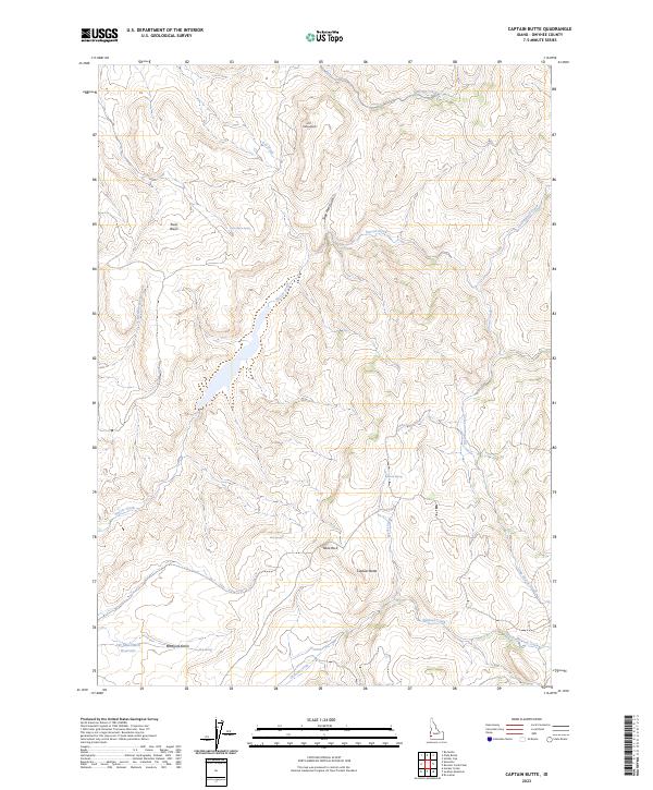
1990 Captain Butte
Owyhee County, ID
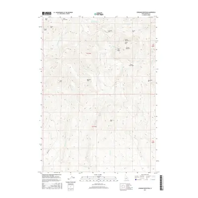
1990 Cinnabar Mountain
Owyhee County, ID
1990 Combination Ridge
Owyhee County, ID
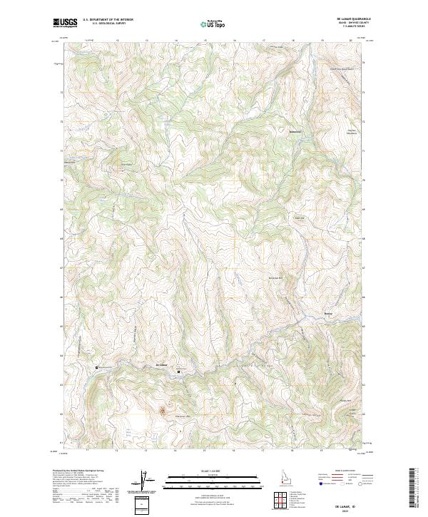
1990 De Lamar
Owyhee County, ID
1990 Flint
Owyhee County, ID
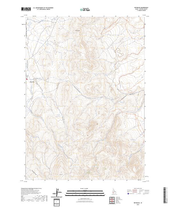
1990 Reynolds
Owyhee County, ID
1990 Rooster Comb Peak
Owyhee County, ID
1990 Silver City
Owyhee County, ID
1990 Sinker Canyon
Owyhee County, ID
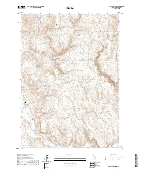
1990 Stonehouse Creek
Owyhee County, ID
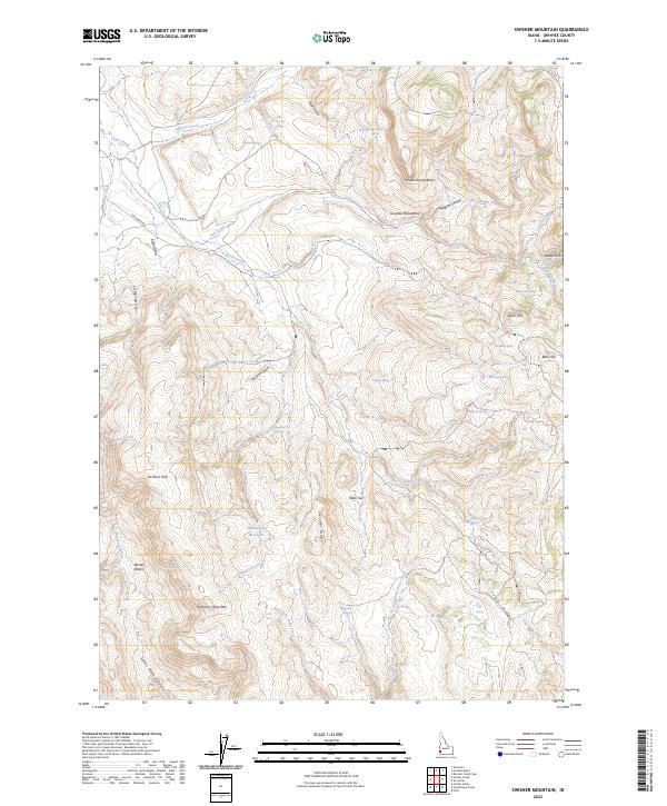
1990 Swisher Mountain
Owyhee County, ID
1990 Toy Pass
Owyhee County, ID
1990 Triangle Flat
Owyhee County, ID
1990 Triangle
Owyhee County, ID
1990 Triangle Reservoir
Owyhee County, ID
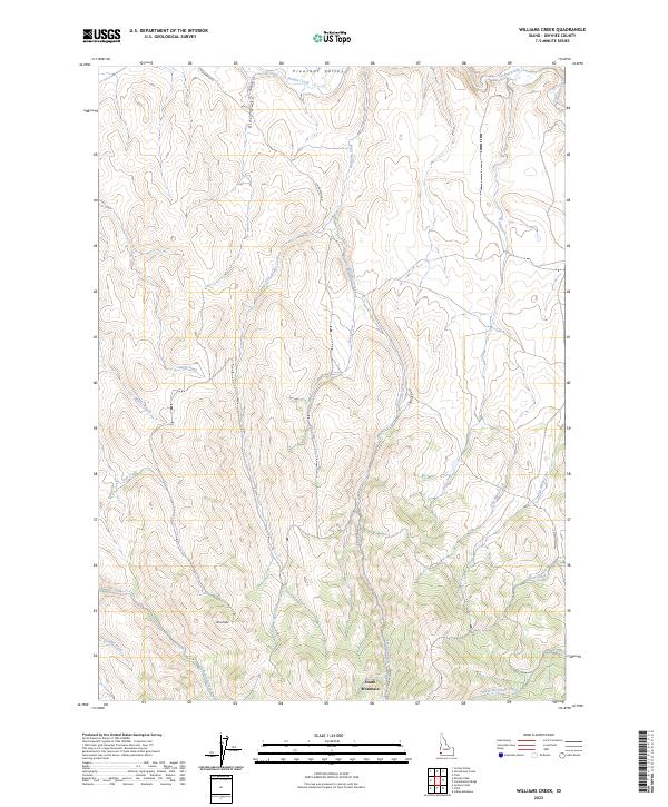
1990 Williams Creek
Owyhee County, ID
1992 Antelope Spring
Owyhee County, ID
1992 Bruneau Dunes
Owyhee County, ID
1992 Castle Butte
Owyhee County, ID
1992 Chalk Hills
Owyhee County, ID
1992 C.J. Strike Dam
Owyhee County, ID
1992 Hot Springs
Owyhee County, ID
1992 Indian Cove
Owyhee County, ID
1992 Jackass Butte
Owyhee County, ID
1992 Little Valley
Owyhee County, ID
1992 Opalene Gulch
Owyhee County, ID
1992 Oreana
Owyhee County, ID
1992 Pence Butte
Owyhee County, ID
1992 Pixley Basin
Owyhee County, ID
1992 Pot Hole Canyon
Owyhee County, ID
1992 Purjue Canyon
Owyhee County, ID
1992 Rough Mountain NE
Owyhee County, ID
1992 Rough Mountain
Owyhee County, ID
1992 Sinker Butte
Owyhee County, ID
1992 Sugar Valley
Owyhee County, ID
1992 Vinson Wash
Owyhee County, ID
1992 Walters Butte
Owyhee County, ID
1992 Wilson Peak
Owyhee County, ID
2010 Antelope Creek
Owyhee County, ID
2010 Antelope Spring
Owyhee County, ID
2010 Austin Butte
Owyhee County, ID
2010 Battle Creek Lakes
Owyhee County, ID
2010 Bedstead Ridge
Owyhee County, ID
2010 Big Bend Crossing
Owyhee County, ID
2010 Big Horse Basin Gap
Owyhee County, ID
2010 Big Springs Ranch
Owyhee County, ID
2010 Black Butte East
Owyhee County, ID
2010 Black Butte West
Owyhee County, ID
2010 Black Leg Creek
Owyhee County, ID
2010 Blackstone Reservoir
Owyhee County, ID
2010 Brace Flat
Owyhee County, ID
2010 Broken Wagon Flat
Owyhee County, ID
2010 Bruneau Dunes
Owyhee County, ID
2010 Buckhorn
Owyhee County, ID

2010 Bull Basin Camp
Owyhee County, ID
2010 Bull Camp Butte
Owyhee County, ID
2010 Buster Butte
Owyhee County, ID
2010 Captain Butte
Owyhee County, ID
2010 Castle Butte
Owyhee County, ID
2010 Castro Table
Owyhee County, ID
2010 Cave Draw
Owyhee County, ID
2010 Chalk Hills
Owyhee County, ID
2010 Cinnabar Mountain
Owyhee County, ID
2010 C J Strike Dam
Owyhee County, ID

2010 Cliffs
Owyhee County, ID
2010 Clover Butte North
Owyhee County, ID
2010 Clover Butte South
Owyhee County, ID
2010 Clover Mountain
Owyhee County, ID
2010 Combination Ridge
Owyhee County, ID
2010 Coonskin Butte NE
Owyhee County, ID
2010 Coonskin Butte
Owyhee County, ID
2010 Cowan Reservoir
Owyhee County, ID
2010 Coyote Hole
Owyhee County, ID
2010 Crab Spring Butte
Owyhee County, ID
2010 Crowbar Gulch
Owyhee County, ID
2010 Crows Nest Butte
Owyhee County, ID
2010 Crows Nest NE
Owyhee County, ID
2010 Crows Nest
Owyhee County, ID
2010 De Lamar
Owyhee County, ID
2010 Dickshooter Reservoir
Owyhee County, ID
2010 Dickshooter Ridge
Owyhee County, ID
2010 Dishpan
Owyhee County, ID
2010 Fairylawn
Owyhee County, ID
2010 Flint
Owyhee County, ID
2010 Flying H Ranch
Owyhee County, ID
2010 Four Corners
Owyhee County, ID
2010 Frying Pan Basin
Owyhee County, ID
2010 Grasmere
Owyhee County, ID
2010 Grasmere Reservoir
Owyhee County, ID
2010 Grassy Ridge
Owyhee County, ID
2010 Hill Pasture
Owyhee County, ID
2010 Hodge Station
Owyhee County, ID
2010 Hole In Rock
Owyhee County, ID
2010 Horse Butte
Owyhee County, ID
2010 Hot Springs
Owyhee County, ID
2010 Hurry Up Creek
Owyhee County, ID
2010 Indian Cove
Owyhee County, ID
2010 Indian Hay Meadows
Owyhee County, ID
2010 Indian Hot Springs
Owyhee County, ID
2010 Indian Meadows
Owyhee County, ID
2010 Inside Lakes
Owyhee County, ID
2010 Jackass Butte
Owyhee County, ID
2010 Jarvis Pasture
Owyhee County, ID
2010 Jump Creek Canyon
Owyhee County, ID
2010 Juniper Basin
Owyhee County, ID
2010 Juniper Basin SE
Owyhee County, ID
2010 Juniper Butte
Owyhee County, ID
2010 Juniper Ranch
Owyhee County, ID
2010 Little Blue Table
Owyhee County, ID
2010 Little Valley
Owyhee County, ID
2010 Lost Valley
Owyhee County, ID
2010 Mosquito Lake Butte
Owyhee County, ID
2010 Mountain View Lake
Owyhee County, ID
2010 Murphy Hot Springs
Owyhee County, ID
2010 Nichol Flat
Owyhee County, ID
2010 Notch Butte
Owyhee County, ID
2010 Opalene Gulch
Owyhee County, ID
2010 Oreana
Owyhee County, ID
2010 O X Lake
Owyhee County, ID
2010 Pence Butte
Owyhee County, ID
2010 Piute Basin East
Owyhee County, ID
2010 Piute Basin West
Owyhee County, ID
2010 Piute Butte
Owyhee County, ID
2010 Pixley Basin
Owyhee County, ID
2010 Pleasant Valley
Owyhee County, ID
2010 Poison Butte
Owyhee County, ID
2010 Pot Hole Canyon
Owyhee County, ID
2010 Purjue Canyon
Owyhee County, ID
2010 Red Basin
Owyhee County, ID
2010 Reynolds
Owyhee County, ID
2010 Riddle
Owyhee County, ID
2010 Rooster Comb Peak
Owyhee County, ID
2010 Ross Lake
Owyhee County, ID
2010 Rough Mountain NE
Owyhee County, ID
2010 Rough Mountain
Owyhee County, ID
2010 Salls Crossing
Owyhee County, ID
2010 Shoofly Springs
Owyhee County, ID
2010 Silver City
Owyhee County, ID
2010 Sinker Butte
Owyhee County, ID
2010 Sinker Canyon
Owyhee County, ID
2010 Slack Mountain
Owyhee County, ID
2010 Smith Creek
Owyhee County, ID
2010 Snow Creek
Owyhee County, ID
2010 Soldier Cap
Owyhee County, ID
2010 Spring Creek Basin
Owyhee County, ID
2010 Stiff Tree Draw
Owyhee County, ID
2010 Stonehouse Creek
Owyhee County, ID
2010 Sugarloaf
Owyhee County, ID
2010 Sugar Valley
Owyhee County, ID
2010 Swisher Mountain
Owyhee County, ID
2010 Table Butte
Owyhee County, ID
2010 The Arch
Owyhee County, ID
2010 Three Creek
Owyhee County, ID
2010 Three Forks
Owyhee County, ID
2010 Toy Pass
Owyhee County, ID

2010 Triangle Flat
Owyhee County, ID
2010 Triangle Reservoir
Owyhee County, ID
2010 Triguero Lake
Owyhee County, ID
2010 Triplet Butte
Owyhee County, ID
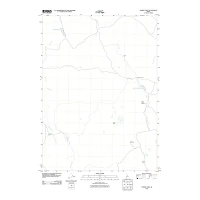
2010 Turner Table
Owyhee County, ID
2010 Vinson Wash
Owyhee County, ID
2010 Wagon Box Basin
Owyhee County, ID
2010 Walters Butte
Owyhee County, ID
2010 Wickahoney Crossing
Owyhee County, ID
2010 Wickahoney Point
Owyhee County, ID
2010 Wickiup Creek
Owyhee County, ID
2010 Williams Creek
Owyhee County, ID
2010 Wilson Peak
Owyhee County, ID
2010 Winter Camp
Owyhee County, ID
2011 Castleford Butte
Owyhee County, ID
2011 Curtis Draw
Owyhee County, ID
2011 Grassy Hills
Owyhee County, ID
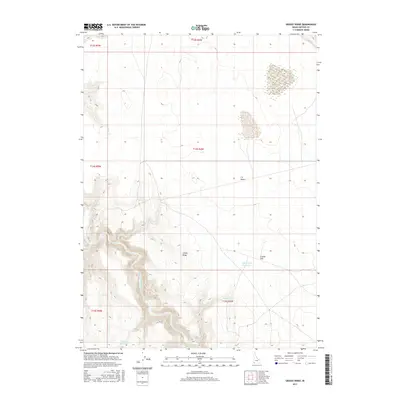
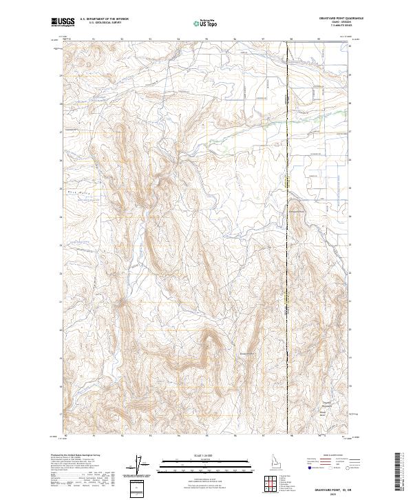
2011 Graveyard Point
Owyhee County, ID
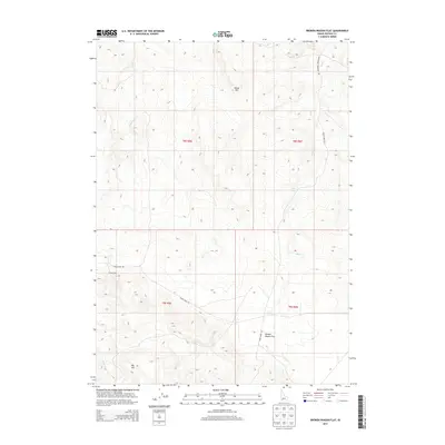
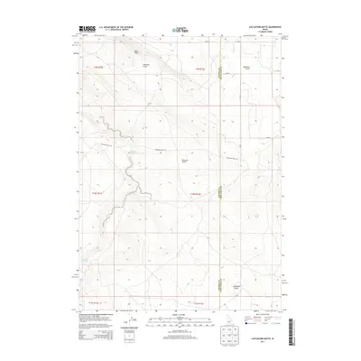
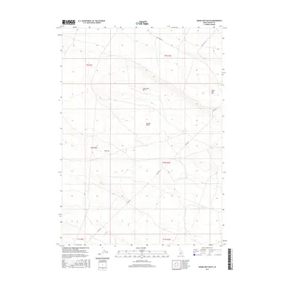
2011 Pot Hole Butte
Owyhee County, ID
2011 Star Valley
Owyhee County, ID
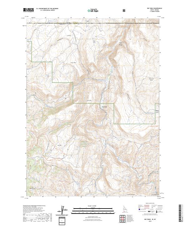
2012 Big Table
Owyhee County, ID
2012 State Line Camp
Owyhee County, ID
2013 Antelope Creek
Owyhee County, ID
2013 Antelope Spring
Owyhee County, ID
2013 Austin Butte
Owyhee County, ID

2013 Battle Creek Lakes
Owyhee County, ID
2013 Bedstead Ridge
Owyhee County, ID
2013 Big Bend Crossing
Owyhee County, ID

2013 Big Horse Basin Gap
Owyhee County, ID
2013 Big Springs Ranch
Owyhee County, ID
2013 Big Table
Owyhee County, ID
2013 Black Butte East
Owyhee County, ID
2013 Black Butte West
Owyhee County, ID
2013 Black Leg Creek
Owyhee County, ID
2013 Blackstone Reservoir
Owyhee County, ID
2013 Brace Flat
Owyhee County, ID
2013 Broken Wagon Flat
Owyhee County, ID
2013 Bruneau Dunes
Owyhee County, ID
2013 Buckhorn
Owyhee County, ID
2013 Bull Basin Camp
Owyhee County, ID
2013 Bull Camp Butte
Owyhee County, ID
2013 Buster Butte
Owyhee County, ID
2013 Captain Butte
Owyhee County, ID
2013 Castle Butte
Owyhee County, ID
2013 Castleford Butte
Owyhee County, ID
2013 Castro Table
Owyhee County, ID
2013 Cave Draw
Owyhee County, ID
2013 Chalk Hills
Owyhee County, ID
2013 Cinnabar Mountain
Owyhee County, ID
2013 C J Strike Dam
Owyhee County, ID

2013 Cliffs
Owyhee County, ID
2013 Clover Butte North
Owyhee County, ID
2013 Clover Butte South
Owyhee County, ID
2013 Clover Mountain
Owyhee County, ID
2013 Combination Ridge
Owyhee County, ID
2013 Coonskin Butte NE
Owyhee County, ID
2013 Coonskin Butte
Owyhee County, ID
2013 Cowan Reservoir
Owyhee County, ID
2013 Coyote Hole
Owyhee County, ID
2013 Crab Spring Butte
Owyhee County, ID
2013 Crowbar Gulch
Owyhee County, ID
2013 Crows Nest Butte
Owyhee County, ID
2013 Crows Nest NE
Owyhee County, ID
2013 Crows Nest
Owyhee County, ID
2013 Curtis Draw
Owyhee County, ID
2013 De Lamar
Owyhee County, ID
2013 Dickshooter Reservoir
Owyhee County, ID
2013 Dickshooter Ridge
Owyhee County, ID
2013 Dishpan
Owyhee County, ID
2013 Fairylawn
Owyhee County, ID
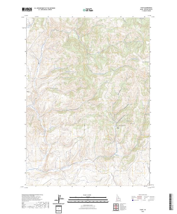
2013 Flint
Owyhee County, ID
2013 Flying H Ranch
Owyhee County, ID
2013 Four Corners
Owyhee County, ID
2013 Frying Pan Basin
Owyhee County, ID
2013 Grasmere
Owyhee County, ID
2013 Grasmere Reservoir
Owyhee County, ID
2013 Grassy Hills
Owyhee County, ID
2013 Grassy Ridge
Owyhee County, ID
2013 Graveyard Point
Owyhee County, ID
2013 Hill Pasture
Owyhee County, ID
2013 Hodge Station
Owyhee County, ID
2013 Hole In Rock
Owyhee County, ID
2013 Horse Butte
Owyhee County, ID
2013 Hot Springs
Owyhee County, ID
2013 Hurry Up Creek
Owyhee County, ID
2013 Indian Cove
Owyhee County, ID
2013 Indian Hay Meadows
Owyhee County, ID
2013 Indian Hot Springs
Owyhee County, ID
2013 Indian Meadows
Owyhee County, ID

2013 Inside Lakes
Owyhee County, ID
2013 Jackass Butte
Owyhee County, ID
2013 Jarvis Pasture
Owyhee County, ID
2013 Jump Creek Canyon
Owyhee County, ID
2013 Juniper Basin
Owyhee County, ID
2013 Juniper Basin SE
Owyhee County, ID
2013 Juniper Butte
Owyhee County, ID
2013 Juniper Ranch
Owyhee County, ID
2013 Little Blue Table
Owyhee County, ID
2013 Little Valley
Owyhee County, ID
2013 Lost Valley
Owyhee County, ID
2013 Mosquito Lake Butte
Owyhee County, ID
2013 Mountain View Lake
Owyhee County, ID
2013 Murphy Hot Springs
Owyhee County, ID
2013 Nichol Flat
Owyhee County, ID
2013 Notch Butte
Owyhee County, ID
2013 Opalene Gulch
Owyhee County, ID
2013 Oreana
Owyhee County, ID
2013 O X Lake
Owyhee County, ID
2013 Pence Butte
Owyhee County, ID
2013 Piute Basin East
Owyhee County, ID
2013 Piute Basin West
Owyhee County, ID
2013 Piute Butte
Owyhee County, ID
2013 Pixley Basin
Owyhee County, ID
2013 Pleasant Valley
Owyhee County, ID
2013 Poison Butte
Owyhee County, ID
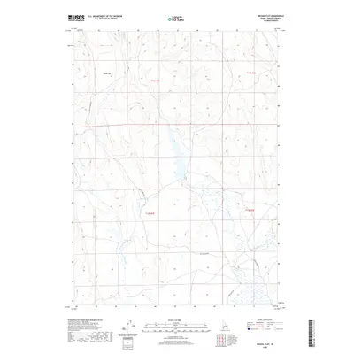
2013 Pot Hole Butte
Owyhee County, ID
2013 Pot Hole Canyon
Owyhee County, ID
2013 Purjue Canyon
Owyhee County, ID
2013 Red Basin
Owyhee County, ID
2013 Reynolds
Owyhee County, ID
2013 Riddle
Owyhee County, ID
2013 Rooster Comb Peak
Owyhee County, ID
2013 Ross Lake
Owyhee County, ID
2013 Rough Mountain NE
Owyhee County, ID
2013 Rough Mountain
Owyhee County, ID
2013 Salls Crossing
Owyhee County, ID
2013 Shoofly Springs
Owyhee County, ID
2013 Silver City
Owyhee County, ID
2013 Sinker Butte
Owyhee County, ID
2013 Sinker Canyon
Owyhee County, ID
2013 Slack Mountain
Owyhee County, ID
2013 Smith Creek
Owyhee County, ID
2013 Snow Creek
Owyhee County, ID
2013 Soldier Cap
Owyhee County, ID
2013 Spring Creek Basin
Owyhee County, ID
2013 Star Valley
Owyhee County, ID
2013 State Line Camp
Owyhee County, ID
2013 Stiff Tree Draw
Owyhee County, ID
2013 Stonehouse Creek
Owyhee County, ID
2013 Sugarloaf
Owyhee County, ID
2013 Sugar Valley
Owyhee County, ID
2013 Swisher Mountain
Owyhee County, ID
2013 Table Butte
Owyhee County, ID
2013 The Arch
Owyhee County, ID
2013 Three Creek
Owyhee County, ID
2013 Three Forks
Owyhee County, ID
2013 Toy Pass
Owyhee County, ID

2013 Triangle Flat
Owyhee County, ID
2013 Triangle Reservoir
Owyhee County, ID
2013 Triguero Lake
Owyhee County, ID
2013 Triplet Butte
Owyhee County, ID
2013 Turner Table
Owyhee County, ID
2013 Vinson Wash
Owyhee County, ID
2013 Wagon Box Basin
Owyhee County, ID
2013 Walters Butte
Owyhee County, ID
2013 Wickahoney Crossing
Owyhee County, ID
2013 Wickahoney Point
Owyhee County, ID
2013 Wickiup Creek
Owyhee County, ID
2013 Williams Creek
Owyhee County, ID
2013 Wilson Peak
Owyhee County, ID
2013 Winter Camp
Owyhee County, ID
2017 Antelope Creek
Owyhee County, ID
2017 Antelope Spring
Owyhee County, ID
2017 Austin Butte
Owyhee County, ID
2017 Battle Creek Lakes
Owyhee County, ID
2017 Bedstead Ridge
Owyhee County, ID
2017 Big Bend Crossing
Owyhee County, ID
2017 Big Horse Basin Gap
Owyhee County, ID
2017 Big Springs Ranch
Owyhee County, ID
2017 Big Table
Owyhee County, ID
2017 Black Butte East
Owyhee County, ID
2017 Black Butte West
Owyhee County, ID
2017 Black Leg Creek
Owyhee County, ID
2017 Blackstone Reservoir
Owyhee County, ID
2017 Brace Flat
Owyhee County, ID
2017 Broken Wagon Flat
Owyhee County, ID
2017 Bruneau Dunes
Owyhee County, ID
2017 Buckhorn
Owyhee County, ID
2017 Bull Basin Camp
Owyhee County, ID
2017 Bull Camp Butte
Owyhee County, ID
2017 Buster Butte
Owyhee County, ID
2017 Captain Butte
Owyhee County, ID
2017 Castle Butte
Owyhee County, ID
2017 Castleford Butte
Owyhee County, ID
2017 Castro Table
Owyhee County, ID
2017 Cave Draw
Owyhee County, ID
2017 Chalk Hills
Owyhee County, ID
2017 Cinnabar Mountain
Owyhee County, ID
2017 C J Strike Dam
Owyhee County, ID
2017 Cliffs
Owyhee County, ID
2017 Clover Butte North
Owyhee County, ID
2017 Clover Butte South
Owyhee County, ID
2017 Clover Mountain
Owyhee County, ID

2017 Combination Ridge
Owyhee County, ID
2017 Coonskin Butte NE
Owyhee County, ID
2017 Coonskin Butte
Owyhee County, ID
2017 Cowan Reservoir
Owyhee County, ID
2017 Coyote Hole
Owyhee County, ID
2017 Crab Spring Butte
Owyhee County, ID
2017 Crowbar Gulch
Owyhee County, ID
2017 Crows Nest Butte
Owyhee County, ID
2017 Crows Nest NE
Owyhee County, ID
2017 Crows Nest
Owyhee County, ID
2017 Curtis Draw
Owyhee County, ID
2017 De Lamar
Owyhee County, ID
2017 Dickshooter Reservoir
Owyhee County, ID
2017 Dickshooter Ridge
Owyhee County, ID
2017 Dishpan
Owyhee County, ID
2017 Fairylawn
Owyhee County, ID
2017 Flint
Owyhee County, ID
2017 Flying H Ranch
Owyhee County, ID
2017 Four Corners
Owyhee County, ID
2017 Frying Pan Basin
Owyhee County, ID
2017 Grasmere
Owyhee County, ID
2017 Grasmere Reservoir
Owyhee County, ID
2017 Grassy Hills
Owyhee County, ID
2017 Grassy Ridge
Owyhee County, ID
2017 Graveyard Point
Owyhee County, ID
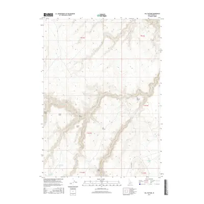
2017 Hill Pasture
Owyhee County, ID
2017 Hodge Station
Owyhee County, ID
2017 Hole In Rock
Owyhee County, ID
2017 Horse Butte
Owyhee County, ID
2017 Hot Springs
Owyhee County, ID
2017 Hurry Up Creek
Owyhee County, ID
2017 Indian Cove
Owyhee County, ID
2017 Indian Hay Meadows
Owyhee County, ID
2017 Indian Hot Springs
Owyhee County, ID
2017 Indian Meadows
Owyhee County, ID
2017 Inside Lakes
Owyhee County, ID
2017 Jackass Butte
Owyhee County, ID
2017 Jarvis Pasture
Owyhee County, ID
2017 Jump Creek Canyon
Owyhee County, ID
2017 Juniper Basin
Owyhee County, ID
2017 Juniper Basin SE
Owyhee County, ID
2017 Juniper Butte
Owyhee County, ID
2017 Juniper Ranch
Owyhee County, ID
2017 Little Blue Table
Owyhee County, ID
2017 Little Valley
Owyhee County, ID
2017 Lost Valley
Owyhee County, ID
2017 Mosquito Lake Butte
Owyhee County, ID
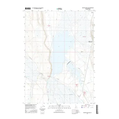
2017 Mountain View Lake
Owyhee County, ID
2017 Murphy Hot Springs
Owyhee County, ID
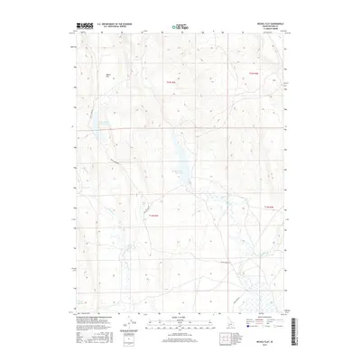
2017 Nichol Flat
Owyhee County, ID
2017 Notch Butte
Owyhee County, ID
2017 Opalene Gulch
Owyhee County, ID
2017 Oreana
Owyhee County, ID

2017 O X Lake
Owyhee County, ID
2017 Pence Butte
Owyhee County, ID
2017 Piute Basin East
Owyhee County, ID
2017 Piute Basin West
Owyhee County, ID
2017 Piute Butte
Owyhee County, ID
2017 Pixley Basin
Owyhee County, ID
2017 Pleasant Valley
Owyhee County, ID
2017 Poison Butte
Owyhee County, ID
2017 Pot Hole Butte
Owyhee County, ID
2017 Pot Hole Canyon
Owyhee County, ID
2017 Purjue Canyon
Owyhee County, ID
2017 Red Basin
Owyhee County, ID
2017 Reynolds
Owyhee County, ID
2017 Riddle
Owyhee County, ID
2017 Rooster Comb Peak
Owyhee County, ID
2017 Ross Lake
Owyhee County, ID
2017 Rough Mountain NE
Owyhee County, ID
2017 Rough Mountain
Owyhee County, ID
2017 Salls Crossing
Owyhee County, ID
2017 Shoofly Springs
Owyhee County, ID
2017 Silver City
Owyhee County, ID
2017 Sinker Butte
Owyhee County, ID
2017 Sinker Canyon
Owyhee County, ID
2017 Slack Mountain
Owyhee County, ID
2017 Smith Creek
Owyhee County, ID
2017 Snow Creek
Owyhee County, ID
2017 Soldier Cap
Owyhee County, ID
2017 Spring Creek Basin
Owyhee County, ID
2017 Star Valley
Owyhee County, ID
2017 State Line Camp
Owyhee County, ID
2017 Stiff Tree Draw
Owyhee County, ID
2017 Stonehouse Creek
Owyhee County, ID
2017 Sugarloaf
Owyhee County, ID
2017 Sugar Valley
Owyhee County, ID
2017 Swisher Mountain
Owyhee County, ID
2017 Table Butte
Owyhee County, ID
2017 The Arch
Owyhee County, ID
2017 Three Creek
Owyhee County, ID
2017 Three Forks
Owyhee County, ID

2017 Toy Pass
Owyhee County, ID
2017 Triangle Flat
Owyhee County, ID
2017 Triangle Reservoir
Owyhee County, ID
2017 Triguero Lake
Owyhee County, ID
2017 Triplet Butte
Owyhee County, ID
2017 Turner Table
Owyhee County, ID
2017 Vinson Wash
Owyhee County, ID
2017 Wagon Box Basin
Owyhee County, ID
2017 Walters Butte
Owyhee County, ID
2017 Wickahoney Crossing
Owyhee County, ID
2017 Wickahoney Point
Owyhee County, ID
2017 Wickiup Creek
Owyhee County, ID
2017 Williams Creek
Owyhee County, ID
2017 Wilson Peak
Owyhee County, ID
2017 Winter Camp
Owyhee County, ID
2020 Antelope Creek
Owyhee County, ID
2020 Antelope Spring
Owyhee County, ID
2020 Austin Butte
Owyhee County, ID
2020 Battle Creek Lakes
Owyhee County, ID
2020 Bedstead Ridge
Owyhee County, ID
2020 Big Bend Crossing
Owyhee County, ID
2020 Big Horse Basin Gap
Owyhee County, ID
2020 Big Springs Ranch
Owyhee County, ID
2020 Big Table
Owyhee County, ID
2020 Black Butte East
Owyhee County, ID
2020 Black Butte West
Owyhee County, ID
2020 Black Leg Creek
Owyhee County, ID
2020 Blackstone Reservoir
Owyhee County, ID
2020 Brace Flat
Owyhee County, ID
2020 Broken Wagon Flat
Owyhee County, ID
2020 Bruneau Dunes
Owyhee County, ID
2020 Buckhorn
Owyhee County, ID
2020 Bull Basin Camp
Owyhee County, ID
2020 Bull Camp Butte
Owyhee County, ID
2020 Buster Butte
Owyhee County, ID
2020 Captain Butte
Owyhee County, ID
2020 Castle Butte
Owyhee County, ID
2020 Castleford Butte
Owyhee County, ID
2020 Castro Table
Owyhee County, ID
2020 Cave Draw
Owyhee County, ID
2020 Chalk Hills
Owyhee County, ID
2020 Cinnabar Mountain
Owyhee County, ID
2020 C J Strike Dam
Owyhee County, ID

2020 Cliffs
Owyhee County, ID
2020 Clover Butte North
Owyhee County, ID
2020 Clover Butte South
Owyhee County, ID
2020 Clover Mountain
Owyhee County, ID
2020 Combination Ridge
Owyhee County, ID
2020 Coonskin Butte NE
Owyhee County, ID
2020 Coonskin Butte
Owyhee County, ID
2020 Cowan Reservoir
Owyhee County, ID
2020 Coyote Hole
Owyhee County, ID
2020 Crab Spring Butte
Owyhee County, ID
2020 Crowbar Gulch
Owyhee County, ID
2020 Crows Nest Butte
Owyhee County, ID
2020 Crows Nest NE
Owyhee County, ID
2020 Crows Nest
Owyhee County, ID
2020 Curtis Draw
Owyhee County, ID
2020 De Lamar
Owyhee County, ID
2020 Dickshooter Reservoir
Owyhee County, ID
2020 Dickshooter Ridge
Owyhee County, ID
2020 Dishpan
Owyhee County, ID
2020 Fairylawn
Owyhee County, ID
2020 Flint
Owyhee County, ID
2020 Flying H Ranch
Owyhee County, ID
2020 Four Corners
Owyhee County, ID
2020 Frying Pan Basin
Owyhee County, ID
2020 Grasmere
Owyhee County, ID
2020 Grasmere Reservoir
Owyhee County, ID
2020 Grassy Hills
Owyhee County, ID
2020 Grassy Ridge
Owyhee County, ID
2020 Graveyard Point
Owyhee County, ID
2020 Hill Pasture
Owyhee County, ID
2020 Hodge Station
Owyhee County, ID
2020 Hole In Rock
Owyhee County, ID
2020 Horse Butte
Owyhee County, ID
2020 Hot Springs
Owyhee County, ID
2020 Hurry Up Creek
Owyhee County, ID
2020 Indian Cove
Owyhee County, ID
2020 Indian Hay Meadows
Owyhee County, ID
2020 Indian Hot Springs
Owyhee County, ID
2020 Indian Meadows
Owyhee County, ID
2020 Inside Lakes
Owyhee County, ID
2020 Jackass Butte
Owyhee County, ID
2020 Jarvis Pasture
Owyhee County, ID
2020 Jump Creek Canyon
Owyhee County, ID
2020 Juniper Basin
Owyhee County, ID
2020 Juniper Basin SE
Owyhee County, ID
2020 Juniper Butte
Owyhee County, ID
2020 Juniper Ranch
Owyhee County, ID
2020 Little Blue Table
Owyhee County, ID
2020 Little Valley
Owyhee County, ID
2020 Lost Valley
Owyhee County, ID
2020 Mosquito Lake Butte
Owyhee County, ID
2020 Mountain View Lake
Owyhee County, ID
2020 Murphy Hot Springs
Owyhee County, ID
2020 Nichol Flat
Owyhee County, ID
2020 Notch Butte
Owyhee County, ID
2020 Opalene Gulch
Owyhee County, ID
2020 Oreana
Owyhee County, ID
2020 O X Lake
Owyhee County, ID
2020 Pence Butte
Owyhee County, ID
2020 Piute Basin East
Owyhee County, ID
2020 Piute Basin West
Owyhee County, ID
2020 Piute Butte
Owyhee County, ID
2020 Pixley Basin
Owyhee County, ID
2020 Pleasant Valley
Owyhee County, ID
2020 Poison Butte
Owyhee County, ID
2020 Pot Hole Butte
Owyhee County, ID
2020 Pot Hole Canyon
Owyhee County, ID
2020 Purjue Canyon
Owyhee County, ID
2020 Red Basin
Owyhee County, ID
2020 Reynolds
Owyhee County, ID
2020 Riddle
Owyhee County, ID
2020 Rooster Comb Peak
Owyhee County, ID
2020 Ross Lake
Owyhee County, ID
2020 Rough Mountain NE
Owyhee County, ID
2020 Rough Mountain
Owyhee County, ID
2020 Salls Crossing
Owyhee County, ID
2020 Shoofly Springs
Owyhee County, ID
2020 Silver City
Owyhee County, ID
2020 Sinker Butte
Owyhee County, ID
2020 Sinker Canyon
Owyhee County, ID
2020 Slack Mountain
Owyhee County, ID
2020 Smith Creek
Owyhee County, ID
2020 Snow Creek
Owyhee County, ID
2020 Soldier Cap
Owyhee County, ID
2020 Spring Creek Basin
Owyhee County, ID
2020 Star Valley
Owyhee County, ID
2020 State Line Camp
Owyhee County, ID
2020 Stiff Tree Draw
Owyhee County, ID
2020 Stonehouse Creek
Owyhee County, ID
2020 Sugarloaf
Owyhee County, ID
2020 Sugar Valley
Owyhee County, ID
2020 Swisher Mountain
Owyhee County, ID
2020 Table Butte
Owyhee County, ID
2020 The Arch
Owyhee County, ID
2020 Three Creek
Owyhee County, ID
2020 Three Forks
Owyhee County, ID
2020 Toy Pass
Owyhee County, ID

2020 Triangle Flat
Owyhee County, ID
2020 Triangle Reservoir
Owyhee County, ID
2020 Triguero Lake
Owyhee County, ID
2020 Triplet Butte
Owyhee County, ID
2020 Turner Table
Owyhee County, ID
2020 Vinson Wash
Owyhee County, ID
2020 Wagon Box Basin
Owyhee County, ID
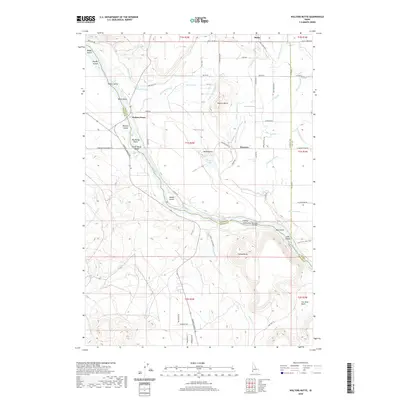
2020 Walters Butte
Owyhee County, ID
2020 Wickahoney Crossing
Owyhee County, ID
2020 Wickahoney Point
Owyhee County, ID
2020 Wickiup Creek
Owyhee County, ID
2020 Williams Creek
Owyhee County, ID
2020 Wilson Peak
Owyhee County, ID
2020 Winter Camp
Owyhee County, ID
2023 Antelope Creek
Owyhee County, ID
2023 Antelope Spring
Owyhee County, ID

2023 Battle Creek Lakes
Owyhee County, ID
2023 Bedstead Ridge
Owyhee County, ID
2023 Big Bend Crossing
Owyhee County, ID
2023 Big Horse Basin Gap
Owyhee County, ID
2023 Big Springs Ranch
Owyhee County, ID
2023 Big Table
Owyhee County, ID
2023 Black Butte East
Owyhee County, ID
2023 Black Butte West
Owyhee County, ID
2023 Black Leg Creek
Owyhee County, ID
2023 Brace Flat
Owyhee County, ID
2023 Broken Wagon Flat
Owyhee County, ID
2023 Bruneau Dunes
Owyhee County, ID
2023 Buckhorn
Owyhee County, ID
2023 Bull Basin Camp
Owyhee County, ID
2023 Bull Camp Butte
Owyhee County, ID
2023 Captain Butte
Owyhee County, ID
2023 Castle Butte
Owyhee County, ID
2023 Castleford Butte
Owyhee County, ID
2023 Chalk Hills
Owyhee County, ID
2023 Cinnabar Mountain
Owyhee County, ID
2023 Cliffs
Owyhee County, ID
2023 Clover Butte North
Owyhee County, ID
2023 Clover Butte South
Owyhee County, ID
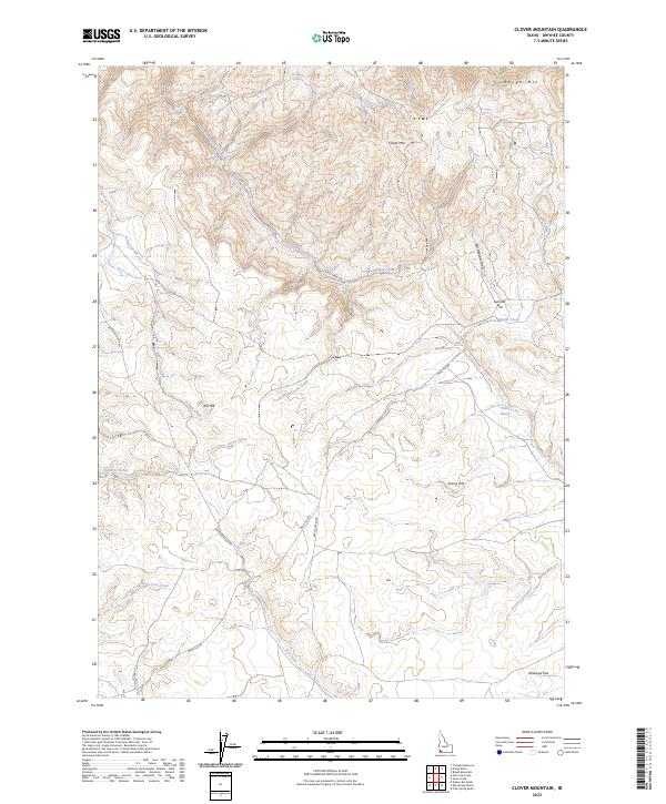
2023 Clover Mountain
Owyhee County, ID
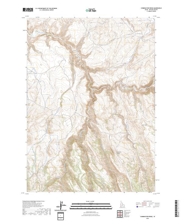
2023 Combination Ridge
Owyhee County, ID
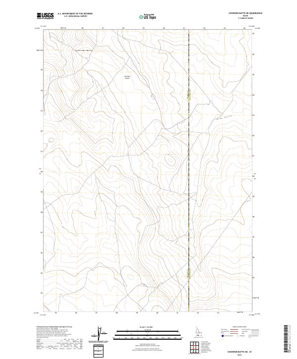
2023 Coonskin Butte NE
Owyhee County, ID
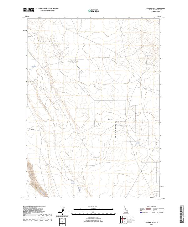
2023 Coonskin Butte
Owyhee County, ID
2023 Cowan Reservoir
Owyhee County, ID
2023 Coyote Hole
Owyhee County, ID
2023 Crab Spring Butte
Owyhee County, ID
2023 Crows Nest Butte
Owyhee County, ID
2023 Crows Nest NE
Owyhee County, ID
2023 Crows Nest
Owyhee County, ID
2023 Curtis Draw
Owyhee County, ID
2023 De Lamar
Owyhee County, ID
2023 Dickshooter Ridge
Owyhee County, ID
2023 Dishpan
Owyhee County, ID
2023 Fairylawn
Owyhee County, ID
2023 Flying H Ranch
Owyhee County, ID
2023 Four Corners
Owyhee County, ID
2023 Frying Pan Basin
Owyhee County, ID
2023 Grasmere
Owyhee County, ID
2023 Grassy Hills
Owyhee County, ID
2023 Grassy Ridge
Owyhee County, ID
2023 Graveyard Point
Owyhee County, ID
2023 Hill Pasture
Owyhee County, ID
2023 Hodge Station
Owyhee County, ID
2023 Hole In Rock
Owyhee County, ID
2023 Horse Butte
Owyhee County, ID
2023 Hurry Up Creek
Owyhee County, ID
2023 Indian Cove
Owyhee County, ID
2023 Indian Hay Meadows
Owyhee County, ID
2023 Indian Hot Springs
Owyhee County, ID
2023 Indian Meadows
Owyhee County, ID
2023 Inside Lakes
Owyhee County, ID
2023 Jackass Butte
Owyhee County, ID

2023 Jarvis Pasture
Owyhee County, ID
2023 Jump Creek Canyon
Owyhee County, ID
2023 Juniper Basin
Owyhee County, ID
2023 Juniper Basin SE
Owyhee County, ID
2023 Juniper Butte
Owyhee County, ID
2023 Juniper Ranch
Owyhee County, ID
2023 Little Valley
Owyhee County, ID
2023 Lost Valley
Owyhee County, ID
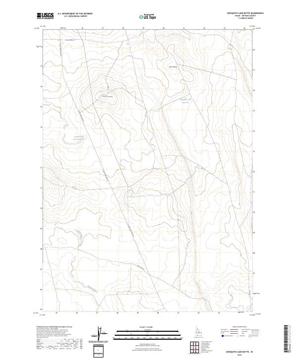
2023 Mosquito Lake Butte
Owyhee County, ID
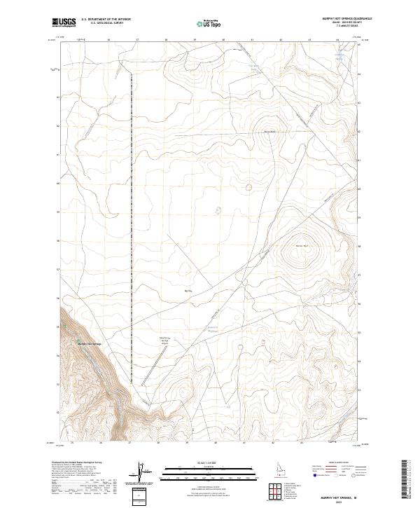
2023 Murphy Hot Springs
Owyhee County, ID
2023 Opalene Gulch
Owyhee County, ID
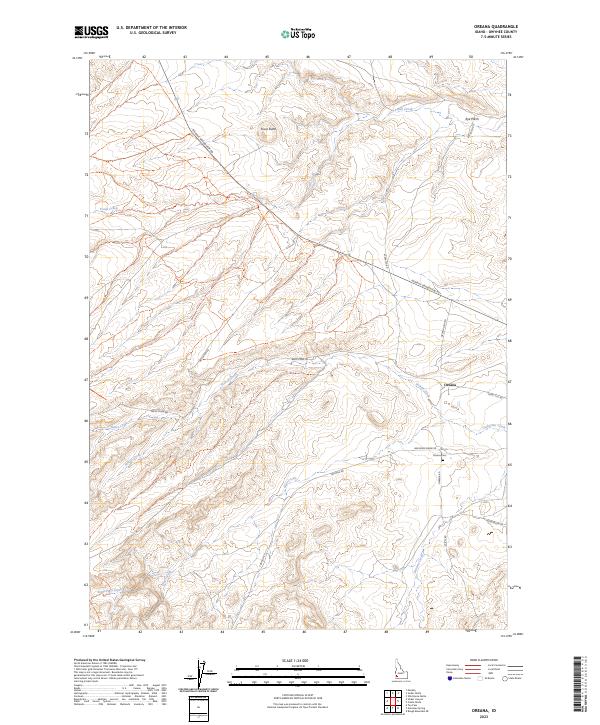
2023 Oreana
Owyhee County, ID
2023 O X Lake
Owyhee County, ID
2023 Pence Butte
Owyhee County, ID
2023 Piute Basin East
Owyhee County, ID
2023 Piute Basin West
Owyhee County, ID
2023 Piute Butte
Owyhee County, ID
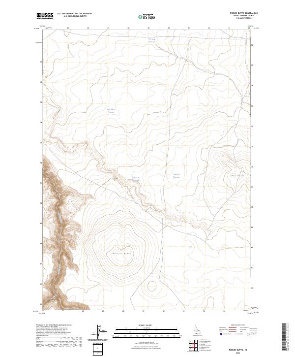
2023 Poison Butte
Owyhee County, ID
2023 Pot Hole Butte
Owyhee County, ID

2023 Pot Hole Canyon
Owyhee County, ID
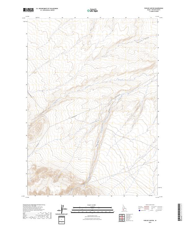
2023 Purjue Canyon
Owyhee County, ID
2023 Red Basin
Owyhee County, ID
2023 Reynolds
Owyhee County, ID
2023 Riddle
Owyhee County, ID
2023 Rooster Comb Peak
Owyhee County, ID
2023 Ross Lake
Owyhee County, ID
2023 Rough Mountain NE
Owyhee County, ID
2023 Rough Mountain
Owyhee County, ID
2023 Salls Crossing
Owyhee County, ID
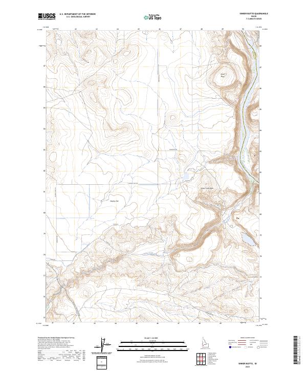
2023 Sinker Butte
Owyhee County, ID
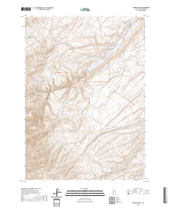
2023 Sinker Canyon
Owyhee County, ID
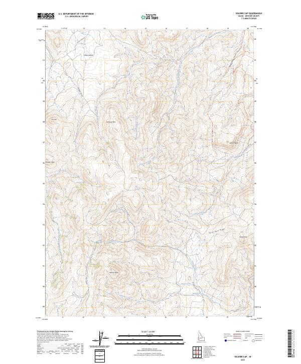
2023 Soldier Cap
Owyhee County, ID
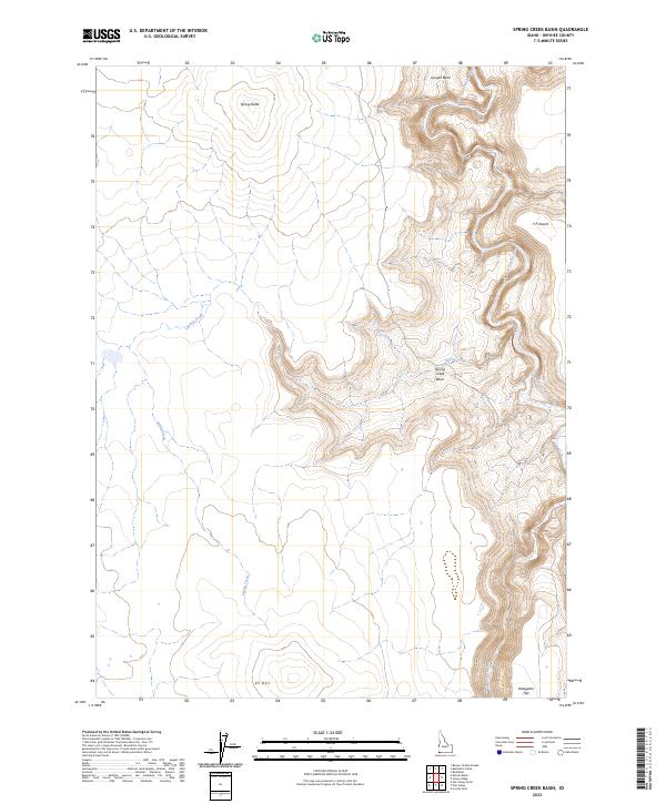
2023 Spring Creek Basin
Owyhee County, ID
2023 Star Valley
Owyhee County, ID
2023 State Line Camp
Owyhee County, ID
2023 Stiff Tree Draw
Owyhee County, ID
2023 Stonehouse Creek
Owyhee County, ID
2023 Swisher Mountain
Owyhee County, ID
2023 Table Butte
Owyhee County, ID
2023 The Arch
Owyhee County, ID
2023 Three Creek
Owyhee County, ID
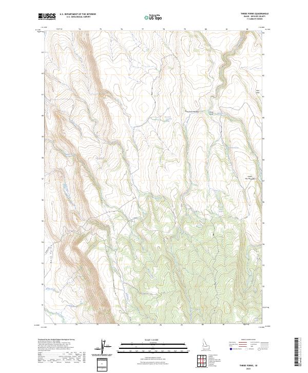
2023 Three Forks
Owyhee County, ID
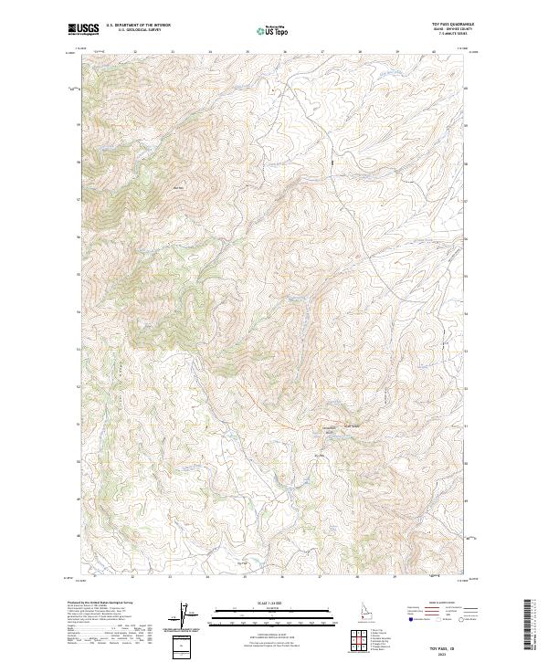
2023 Toy Pass
Owyhee County, ID
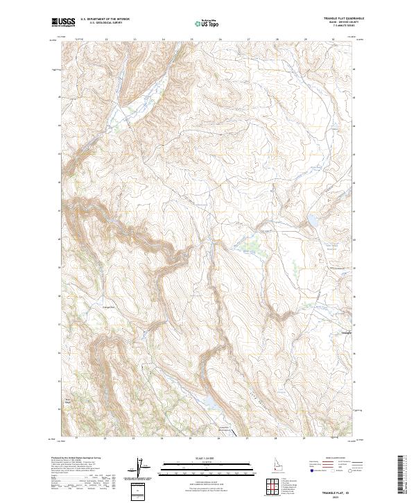
2023 Triangle Flat
Owyhee County, ID
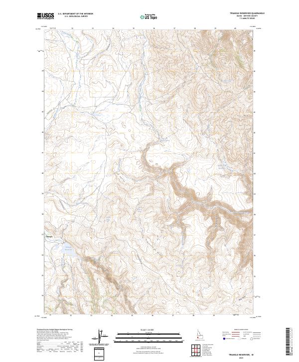
2023 Triangle Reservoir
Owyhee County, ID
2023 Triguero Lake
Owyhee County, ID
2023 Triplet Butte
Owyhee County, ID
2023 Vinson Wash
Owyhee County, ID
2023 Wagon Box Basin
Owyhee County, ID
2023 Walters Butte
Owyhee County, ID
2023 Wickahoney Crossing
Owyhee County, ID
2023 Wickahoney Point
Owyhee County, ID
2023 Wickiup Creek
Owyhee County, ID
2023 Williams Creek
Owyhee County, ID
2024 Austin Butte
Owyhee County, ID
2024 Bedstead Ridge
Owyhee County, ID
2024 Blackstone Reservoir
Owyhee County, ID
2024 Buster Butte
Owyhee County, ID
2024 Castro Table
Owyhee County, ID
2024 Cave Draw
Owyhee County, ID
2024 C J Strike Dam
Owyhee County, ID
2024 Crab Spring Butte
Owyhee County, ID
2024 Crowbar Gulch
Owyhee County, ID
2024 Dickshooter Reservoir
Owyhee County, ID
2024 Fairylawn
Owyhee County, ID
2024 Flint
Owyhee County, ID
2024 Grasmere Reservoir
Owyhee County, ID
2024 Hot Springs
Owyhee County, ID
2024 Jump Creek Canyon
Owyhee County, ID
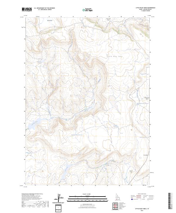
2024 Little Blue Table
Owyhee County, ID
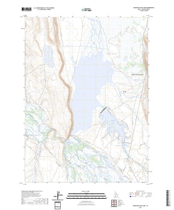
2024 Mountain View Lake
Owyhee County, ID
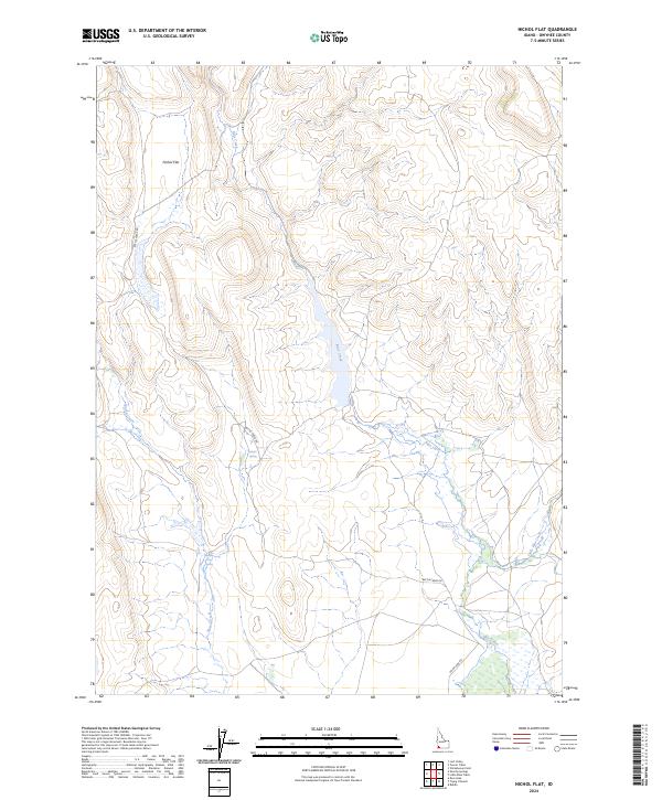
2024 Nichol Flat
Owyhee County, ID
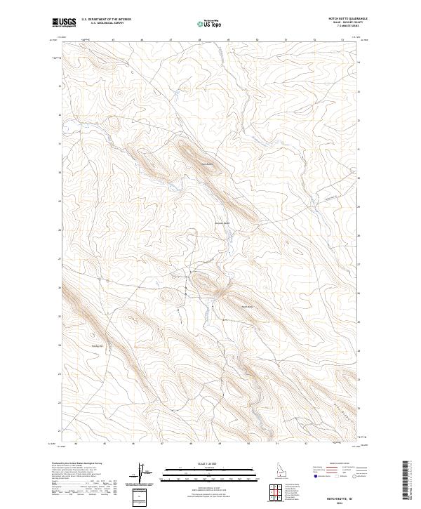
2024 Notch Butte
Owyhee County, ID
2024 Opalene Gulch
Owyhee County, ID
2024 Piute Butte
Owyhee County, ID
2024 Pixley Basin
Owyhee County, ID
2024 Pleasant Valley
Owyhee County, ID
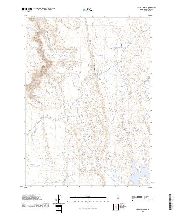
2024 Shoofly Springs
Owyhee County, ID
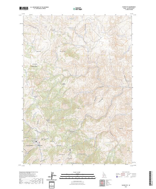
2024 Silver City
Owyhee County, ID
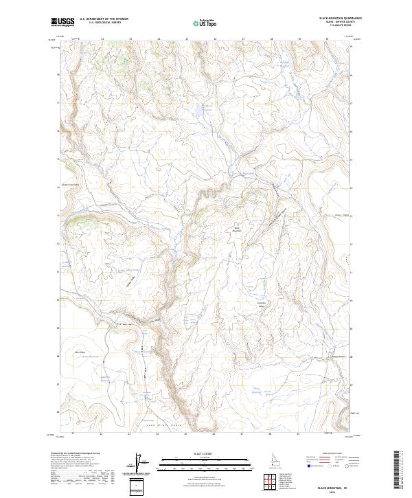
2024 Slack Mountain
Owyhee County, ID
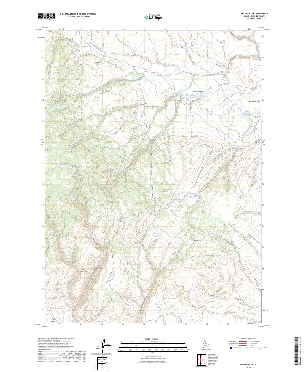
2024 Smith Creek
Owyhee County, ID
2024 Snow Creek
Owyhee County, ID
2024 Sugarloaf
Owyhee County, ID
2024 Sugar Valley
Owyhee County, ID
2024 Turner Table
Owyhee County, ID
2024 Wilson Peak
Owyhee County, ID
2024 Winter Camp
Owyhee County, ID