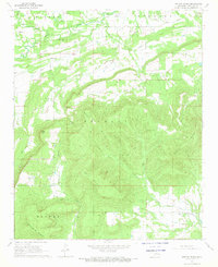
1968 Map of Potato Peaks
USGS Topo · Published 1969About this map
Kennady Mountain and the surrounding Potato Peaks dominate the landscape of Le Flore County in the late 1960s, creating a complex series of ridges and valleys in the Ouachita foothills. The northern portion of the map shows a more developed character with industrial markings like Gas Wells and Drill Holes scattered near the Milton and Bokoshe boundaries. Small settlements like Bordeaux and Latham sit near the winding course of Brazil Creek, while Kennady anchors the southeastern corner.
Find a feature on this map
25 named features on this map. Tap any name to fly to it.
Don’t see what you’re looking for? This feature index may not catch every label — zoom into the map to look around manually.
Map Details
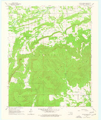
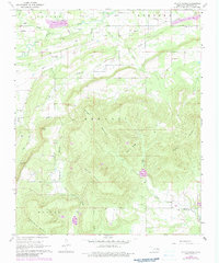
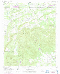
Editions of this 1968 Potato Peaks Map
4 editions found
Other maps of this area

1900 · Sallisaw
USGS Topo · 1:125,000

1900 · Winding Stair
USGS Topo · 1:125,000

1909 · Winding Stair
USGS Topo · 1:125,000

1911 · Sallisaw
USGS Topo · 1:125,000

1946 · Fort Smith
USGS Topo · 1:250,000

1950 · Mcalester
USGS Topo · 1:250,000

1959 · Heavener
USGS Topo · 1:62,500

1962 · McAlester
USGS Topo · 1:250,000

1965 · Fort Smith
USGS Topo · 1:250,000

1965 · McAlester
USGS Topo · 1:250,000