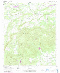
1968 Map of Potato Peaks
USGS Topo · Published 1991About this map
Potato Peaks and Kennedy Mountain dominate this corner of Le Flore County, Oklahoma, defining a landscape marked by both resource extraction and rural settlement. In the northern reaches, the industrial presence of a Strip Mine and numerous Gas Wells contrast with the winding paths of Brazil Creek and Milton Creek. Small communities like Latham and Bordeaux appear alongside local landmarks such as the Long Prairie Cemetery, providing vital touchpoints for genealogists tracking family roots in the Milton and Bokoshe townships. The southern portion of the map transitions into the high elevations of Wister Mountain and Sulphur Spring Mountain, where drainages like Caston Creek and Wolf Mountain Creek carve through the terrain. Purple revisions from the 1980s document changes to infrastructure and development, including the expansion of the pipeline network and new industrial sites like the Shale Pit.
Find a feature on this map
32 named features on this map. Tap any name to fly to it.
Don’t see what you’re looking for? This feature index may not catch every label — zoom into the map to look around manually.
Map Details
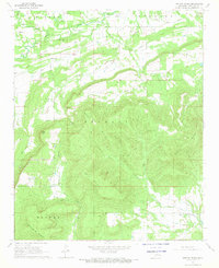
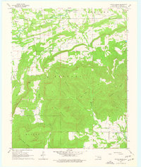
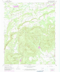
Editions of this 1968 Potato Peaks Map
4 editions found
Other maps of this area

1900 · Sallisaw
USGS Topo · 1:125,000

1900 · Winding Stair
USGS Topo · 1:125,000

1909 · Winding Stair
USGS Topo · 1:125,000

1911 · Sallisaw
USGS Topo · 1:125,000

1946 · Fort Smith
USGS Topo · 1:250,000

1950 · Mcalester
USGS Topo · 1:250,000

1959 · Heavener
USGS Topo · 1:62,500

1962 · McAlester
USGS Topo · 1:250,000

1965 · Fort Smith
USGS Topo · 1:250,000

1965 · McAlester
USGS Topo · 1:250,000