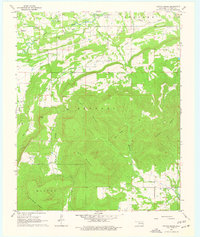
1968 Map of Potato Peaks
USGS Topo · Published 1977About this map
Potato Peaks dominate the southeastern landscape of this Le Flore County region, rising sharply above the complex drainage networks of Brazil Creek and Wolf Creek. In the late 1960s, the area's economy was defined by a mix of natural resource extraction and rural settlement, evidenced by numerous Gas Wells, Drill Holes, and a Shale Pit. Small communities such as Latham and Kennady anchor the map, while the presence of Dog Creek Cem and Long Prairie Cem provides significant points of interest for genealogists tracing family histories in the Choctaw Country. The terrain is marked by prominent ridges including Kennady Mountain and Sulphur Spring Mountain, which are cut by a series of creeks and hollows like Wildhorse Hollow. This survey captures the rural character of Oklahoma before modern expansion, showing the intricate placement of pipelines and unimproved roads that connected these isolated settlements.
Find a feature on this map
29 named features on this map. Tap any name to fly to it.
Don’t see what you’re looking for? This feature index may not catch every label — zoom into the map to look around manually.
Map Details
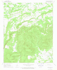
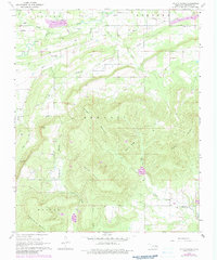
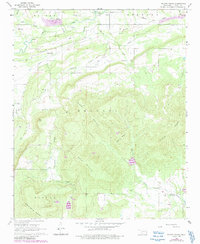
Editions of this 1968 Potato Peaks Map
4 editions found
Other maps of this area

1900 · Sallisaw
USGS Topo · 1:125,000

1900 · Winding Stair
USGS Topo · 1:125,000

1909 · Winding Stair
USGS Topo · 1:125,000

1911 · Sallisaw
USGS Topo · 1:125,000

1946 · Fort Smith
USGS Topo · 1:250,000

1950 · Mcalester
USGS Topo · 1:250,000

1959 · Heavener
USGS Topo · 1:62,500

1962 · McAlester
USGS Topo · 1:250,000

1965 · Fort Smith
USGS Topo · 1:250,000

1965 · McAlester
USGS Topo · 1:250,000