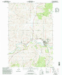
1994 Map of Potlatch
USGS Topo · Published 1997About this map
The Palouse River winds through this northern Idaho landscape, carving a valley that defines the local settlement pattern of the 1990s. The company-town heritage of Potlatch is visible through its structured street grid and proximity to the Burlington Northern railroad, while the smaller community of Onaway sits just across the water to the east. This area serves as a critical gateway to the surrounding timberlands, evidenced by the presence of the Palouse Ranger Station.
Find a feature on this map
26 named features on this map. Tap any name to fly to it.
Don’t see what you’re looking for? This feature index may not catch every label — zoom into the map to look around manually.
Map Details
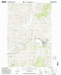
Editions of this 1994 Potlatch Map
2 editions found
Other maps of this area

1903 · Oakesdale
USGS Topo · 1:125,000

1905 · Oakesdale
USGS Topo · 1:125,000

1910 · Pullman
USGS Topo · 1:125,000

1955 · Pullman
USGS Topo · 1:250,000

1955 · Spokane
USGS Topo · 1:250,000

1957 · Tensed
USGS Topo · 1:62,500

1958 · Spokane
USGS Topo · 1:250,000

1958 · Pullman
USGS Topo · 1:250,000

1960 · Robinson Lake
USGS Topo · 1:24,000

1960 · Moscow Mtn
USGS Topo · 1:24,000