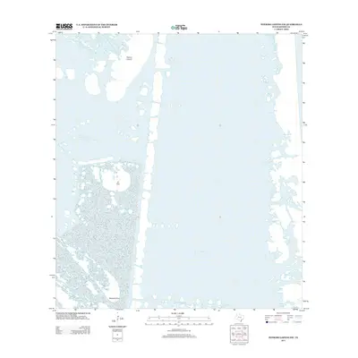
2013 Map of Potrero Lopeno NW
USGS Topo · Published 2013About this map
The coastal environment of Kenedy County is defined here by the meeting of land and sea along the Gulf of Mexico. This 2013 survey illustrates a landscape dominated by shifting coastal terrain and tidal features, specifically focusing on Potrero Lopeno and the prominent El Toro formation. The map documents the intricate coastline near Banderia Point, showing the complex interaction between water and land in this part of South Texas. These geographic markers are vital for understanding the ecological and topographical shifts in a region where the land frequently transitions into the coastal shelf.
Find a feature on this map
4 named features on this map. Tap any name to fly to it.
Don’t see what you’re looking for? This feature index may not catch every label — zoom into the map to look around manually.
Map Details
Editions of this 2013 Potrero Lopeno NW Map
This is the sole edition of this map. No revisions or reprints were ever made.
Other maps of this area

1923 · Lopena Island
USGS Topo · 1:62,500

1923 · Saltillo Ranch
USGS Topo · 1:62,500

1928 · Sarita
USGS Topo · 1:125,000

1950 · Corpus Christi
USGS Topo · 1:250,000

1951 · Potrero Lopeno NW
USGS Topo · 1:24,000

1952 · Potrero Lopeno SE
USGS Topo · 1:24,000

1952 · Potrero Cortado
USGS Topo · 1:24,000

1952 · Sarita 4 SE
USGS Topo · 1:24,000

1952 · Potrero Lopeno SW
USGS Topo · 1:24,000

1952 · Potrero Lopeno
USGS Topo · 1:62,500