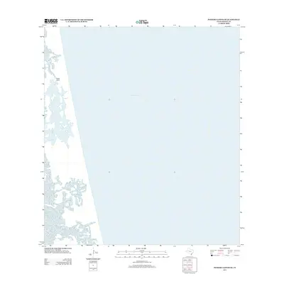
2013 Map of Potrero Lopeno SE
USGS Topo · Published 2013About this map
Padre Island forms a thin, shifting barrier along the Texas coast in this 2013 survey of the Potrero Lopeno SE region. This map is defined by the stark transition where the low-lying shoreline meets the open waters of the Gulf of Mexico, illustrating a landscape shaped by coastal processes and tidal influence. The interior of the island is depicted with intricate patterns of wetlands and small inlets, showing how the barrier island protects the mainland from the sea. Because this quadrangle covers a predominantly aquatic area within Kenedy County, it emphasizes the maritime geography of the region rather than inland development, making it a clear record of the coastline's position in the early 21st century.
Find a feature on this map
2 named features on this map. Tap any name to fly to it.
Don’t see what you’re looking for? This feature index may not catch every label — zoom into the map to look around manually.
Map Details
Editions of this 2013 Potrero Lopeno SE Map
This is the sole edition of this map. No revisions or reprints were ever made.
Other maps of this area

1923 · Lopena Island
USGS Topo · 1:62,500

1951 · South of Potrero Lopeno NE
USGS Topo · 1:24,000

1951 · Potrero Lopeno NW
USGS Topo · 1:24,000

1952 · Potrero Lopeno SE
USGS Topo · 1:24,000

1952 · South of Potrero Lopeno NW
USGS Topo · 1:24,000

1952 · Potrero Lopeno SW
USGS Topo · 1:24,000

1952 · Potrero Lopeno
USGS Topo · 1:62,500

1952 · South of Potrero Lopeno
USGS Topo · 1:62,500

1953 · Brownsville
USGS Topo · 1:250,000

1956 · Brownsville
USGS Topo · 1:250,000