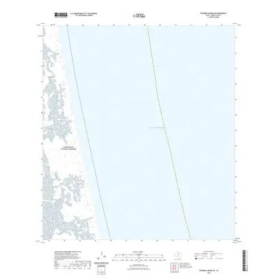
2022 Map of Potrero Lopeno SE
USGS Topo · Published 2022About this map
Padre Island dominates the western edge of this coastal survey, where the protected dunes and sands of the Padre Island National Seashore meet the surf. The landscape is defined by the thin barrier between the lagoon environments to the west and the open waters of the Gulf of Mexico to the east. This specific 2022 dataset captures the shifting geomorphology of the Texas coast in Kenedy County, illustrating the intricate patterns of shoreline wetlands and the bathymetry of the nearshore waters. The map is primarily an aquatic and coastal study, documenting the undeveloped reach of one of the longest barrier islands in the world, preserved as part of the national park system.
Find a feature on this map
3 named features on this map. Tap any name to fly to it.
Don’t see what you’re looking for? This feature index may not catch every label — zoom into the map to look around manually.
Map Details
Editions of this 2022 Potrero Lopeno SE Map
This is the sole edition of this map. No revisions or reprints were ever made.
Other maps of this area

1923 · Lopena Island
USGS Topo · 1:62,500

1951 · South of Potrero Lopeno NE
USGS Topo · 1:24,000

1951 · Potrero Lopeno NW
USGS Topo · 1:24,000

1952 · Potrero Lopeno SE
USGS Topo · 1:24,000

1952 · South of Potrero Lopeno NW
USGS Topo · 1:24,000

1952 · Potrero Lopeno SW
USGS Topo · 1:24,000

1952 · Potrero Lopeno
USGS Topo · 1:62,500

1952 · South of Potrero Lopeno
USGS Topo · 1:62,500

1953 · Brownsville
USGS Topo · 1:250,000

1956 · Brownsville
USGS Topo · 1:250,000