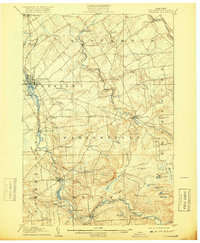
1908 Map of Potsdam
USGS Topo · Published 1918About this map
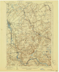
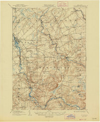
The Raquette River and the East Branch St. Regis River dominate this early twentieth-century landscape, powering a series of falls and mills that defined the local economy. At Potsdam, the river branches around several islands, supporting the growing village while the New York Central railroad provides a vital transportation link to Norwood. Further south, the terrain rises toward the foothills of the Adirondacks, where smaller settlements like Hannawa Falls, Colton, and South Colton are situated along the water's edge. The map reveals a high density of rural education infrastructure, with numerous district schools such as the Union School, Hayes School, and Catherineville School serving the scattered hamlets. Distinctive landmarks like Whites Hill and Hawk Ledge rise above the wetlands and marshes, including Wheeler Marsh, illustrating the transition from agricultural river valleys to the more forested uplands of Stockholm and Parishville townships.
Find a feature on this map
67 named features on this map. Tap any name to fly to it.
Don’t see what you’re looking for? This feature index may not catch every label — zoom into the map to look around manually.
Map Details
Editions of this 1908 Potsdam Map
7 editions found
Other maps of this area

1905 · Waddington
USGS Topo · 1:62,500

1906 · Massena
USGS Topo · 1:62,500

1907 · Massena
USGS Topo · 1:62,500

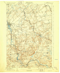
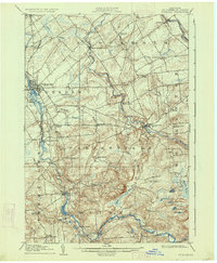
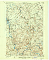
1908 · Potsdam
USGS Topo · 1:62,500

1910 · Canton
USGS Topo · 1:62,500

1911 · Canton
USGS Topo · 1:62,500

1915 · Moira
USGS Topo · 1:62,500

1915 · Russell
USGS Topo · 1:62,500

1917 · Moira
USGS Topo · 1:62,500

1918 · Russell
USGS Topo · 1:62,500