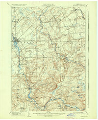
1908 Map of Potsdam
USGS Topo · Published 1937About this map
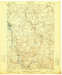
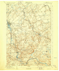
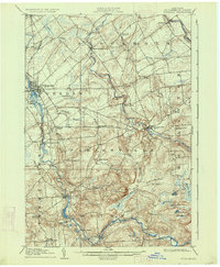
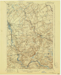
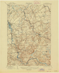
The Raquette River and the West Branch St Regis River carve a distinct industrial and agricultural path through St. Lawrence County at the dawn of the twentieth century. This survey, conducted by H.M. Wilson, captures the dense settlement of Potsdam and the vital railroad link of the New York Central. The landscape is dotted with rural educational landmarks, from Union School in the north to Claflin School in the southwest, reflecting the distributed nature of these early communities. Dramatic elevation changes are marked by numerous cascades, including Allens Falls, Whitaker Falls, and the Gain Twist Falls near South Colton. These river features provided more than scenery; they were the power source for the hamlets of Hannawa Falls and Parishville. In the southern reaches, the terrain shifts from structured farm plots to a complex network of ponds and marshes like Lilypad Pond and Wheeler Marsh.
Find a feature on this map
61 named features on this map. Tap any name to fly to it.
Don’t see what you’re looking for? This feature index may not catch every label — zoom into the map to look around manually.
Map Details
Editions of this 1908 Potsdam Map
7 editions found
Other maps of this area

1905 · Waddington
USGS Topo · 1:62,500

1906 · Massena
USGS Topo · 1:62,500

1907 · Massena
USGS Topo · 1:62,500

1908 · Potsdam
USGS Topo · 1:62,500

1910 · Canton
USGS Topo · 1:62,500

1911 · Canton
USGS Topo · 1:62,500

1915 · Moira
USGS Topo · 1:62,500

1915 · Russell
USGS Topo · 1:62,500

1917 · Moira
USGS Topo · 1:62,500

1918 · Russell
USGS Topo · 1:62,500