
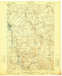
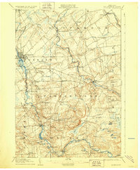
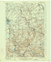
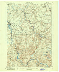
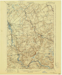
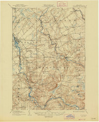
1908 Map of Potsdam
USGS Topo · Published 1908About this map
The Raquette River and St. Regis River carve through this St. Lawrence County landscape at the opening of the twentieth century, providing the water power that shaped the industrial foundations of Potsdam and Hannawa Falls. The map documents a dense network of early rural settlements and hamlets such as Sanfordville, West Stockholm, and Parishville Center, each connected by a winding road system that follows the natural contours of the northern Adirondack foothills.
Find a feature on this map
65 named features on this map. Tap any name to fly to it.
Don’t see what you’re looking for? This feature index may not catch every label — zoom into the map to look around manually.
Map Details
Editions of this 1908 Potsdam Map
7 editions found
Other maps of this area

1905 · Waddington
USGS Topo · 1:62,500

1906 · Massena
USGS Topo · 1:62,500

1907 · Massena
USGS Topo · 1:62,500

1910 · Canton
USGS Topo · 1:62,500

1911 · Canton
USGS Topo · 1:62,500

1915 · Moira
USGS Topo · 1:62,500

1915 · Russell
USGS Topo · 1:62,500

1917 · Moira
USGS Topo · 1:62,500

1918 · Russell
USGS Topo · 1:62,500

1919 · Nicholville
USGS Topo · 1:62,500