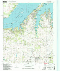
1982 Map of Pottsboro
USGS Topo · Published 1983About this map
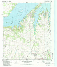
Lake Texoma dominates the northern landscape of this region, its waters creating a complex shoreline that defines the Preston Peninsula and various island chains. The map documents a period of significant recreational and residential development along the Little Mineral Arm, evidenced by numerous boat ramps, public use areas, and the Tanglewood Airfield. To the south, the terrain transitions into a more agricultural and industrial landscape, where the town of Pottsboro serves as a hub near the Missouri - Kansas - Texas Railroad. Local history is preserved in the location of the Willow Springs Ch and several small cemeteries, such as Hagerman Cem. The presence of an Old Iron Ore Grade and multiple quarries suggests a history of resource extraction, while the Hagerman National Wildlife Refuge marks the conservation of the marshy areas near Mill Creek.
Find a feature on this map
42 named features on this map. Tap any name to fly to it.
Don’t see what you’re looking for? This feature index may not catch every label — zoom into the map to look around manually.
Map Details
Editions of this 1982 Pottsboro Map
2 editions found
Other maps of this area

1901 · Denison
USGS Topo · 1:125,000

1954 · Sherman
USGS Topo · 1:250,000

1957 · Denison Dam
USGS Topo · 1:24,000

1958 · Gordonville
USGS Topo · 1:62,500

1958 · Denison Dam
USGS Topo · 1:62,500

1958 · Sherman NW
USGS Topo · 1:24,000

1958 · Whitesboro
USGS Topo · 1:62,500

1958 · Sherman
USGS Topo · 1:250,000

1958 · Sherman
USGS Topo · 1:62,500

1958 · Sherman
USGS Topo · 1:24,000