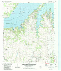
1982 Map of Pottsboro
USGS Topo · Published 1983About this map
Lake Texoma dominates the northern reaches of this Grayson County landscape, where the waters of the Red River and Little Mineral Arm meet. The 1980s terrain shows a complex of recreational and aviation infrastructure, including the Tanglewood Airfield and several landing strips like Hitex Landing Strip on the Preston Peninsula. To the south, the community of Pottsboro sits at the junction of the Missouri-Kansas-Texas railroad, while the surrounding countryside preserves older layers of settlement. Genealogists will find notable value in the Georgetown Cem and Hagerman Cem, the latter situated near the edge of the Hagerman National Wildlife Refuge. The map captures an era of transition, where legacy features like the Old Iron Ore Railroad Grade and the small settlement of Lark persist alongside expanding quarries and oil fields.
Find a feature on this map
46 named features on this map. Tap any name to fly to it.
Don’t see what you’re looking for? This feature index may not catch every label — zoom into the map to look around manually.
Map Details
Editions of this 1982 Pottsboro Map
2 editions found
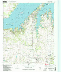
Other maps of this area

1901 · Denison
USGS Topo · 1:125,000

1954 · Sherman
USGS Topo · 1:250,000

1957 · Denison Dam
USGS Topo · 1:24,000

1958 · Gordonville
USGS Topo · 1:62,500

1958 · Denison Dam
USGS Topo · 1:62,500

1958 · Sherman NW
USGS Topo · 1:24,000

1958 · Whitesboro
USGS Topo · 1:62,500

1958 · Sherman
USGS Topo · 1:250,000

1958 · Sherman
USGS Topo · 1:62,500

1958 · Sherman
USGS Topo · 1:24,000