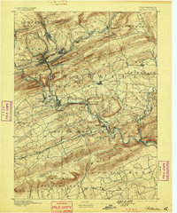
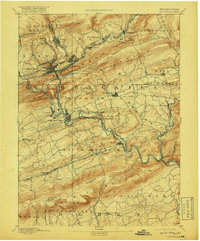
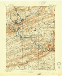
1891 Map of Pottsville
USGS Topo · Published 1898About this map
Pottsville and its surrounding coal-region communities appear here at a peak of late-19th-century industrial expansion. The landscape is defined by the tight corridors of the Schuylkill River and its tributaries, which dictate the path of an intensive transportation network including the Philadelphia and Reading Railroad and the Pennsylvania Railroad. These rails connect numerous mining and manufacturing hubs such as St Clair, Port Carbon, and Schuylkill Haven.
Find a feature on this map
56 named features on this map. Tap any name to fly to it.
Don’t see what you’re looking for? This feature index may not catch every label — zoom into the map to look around manually.
Map Details
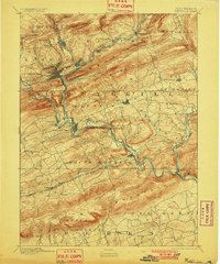
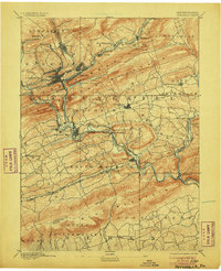
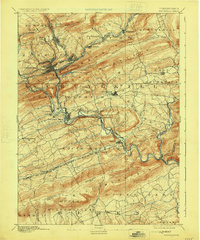
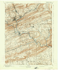
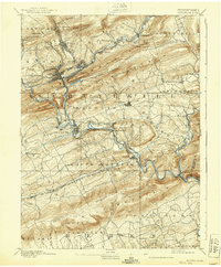
Editions of this 1891 Pottsville Map
10 editions found
Other maps of this area

1889 · Catawissa
USGS Topo · 1:62,500

1889 · Hazleton
USGS Topo · 1:62,500

1889 · Pottsville
USGS Topo · 1:62,500

1891 · Hazleton
USGS Topo · 1:62,500

1891 · Pottsville
USGS Topo · 1:62,500

1891 · Lebanon
USGS Topo · 1:62,500

1892 · Catawissa
USGS Topo · 1:62,500

1892 · Mahanoy
USGS Topo · 1:62,500

1892 · Pine Grove
USGS Topo · 1:62,500

1893 · Hazleton
USGS Topo · 1:62,500