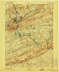
1891 Map of Pottsville
USGS Topo · Published 1918About this map
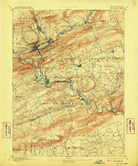
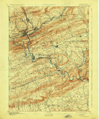
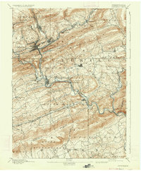
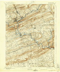
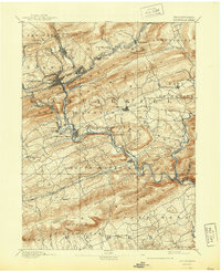
Pottsville serves as the focal point of this late-19th-century survey, situated at the base of Sharp Mountain where a dense network of transit infrastructure converges. The landscape is defined by the heavy presence of the anthracite-era rail industry, including the Peoples Railroad and the Reading Railroad. These lines follow the gaps carved by the Schuylkill River and its many tributaries like Mill Creek and Silver Creek, providing the vital links between mining hubs and downstream markets.
Find a feature on this map
65 named features on this map. Tap any name to fly to it.
Don’t see what you’re looking for? This feature index may not catch every label — zoom into the map to look around manually.
Map Details
Editions of this 1891 Pottsville Map
10 editions found
Other maps of this area

1889 · Catawissa
USGS Topo · 1:62,500

1889 · Hazleton
USGS Topo · 1:62,500

1889 · Pottsville
USGS Topo · 1:62,500

1891 · Hazleton
USGS Topo · 1:62,500

1891 · Pottsville
USGS Topo · 1:62,500

1891 · Lebanon
USGS Topo · 1:62,500

1892 · Catawissa
USGS Topo · 1:62,500

1892 · Mahanoy
USGS Topo · 1:62,500

1892 · Pine Grove
USGS Topo · 1:62,500

1893 · Hazleton
USGS Topo · 1:62,500