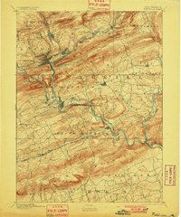
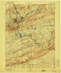
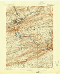
1891 Map of Pottsville
USGS Topo · Published 1901About this map
The industrial heart of Schuylkill County's coal region dominates this landscape, where the Schuylkill River carves through the Appalachian ridges. The map reveals a dense network of transit infrastructure essential to the late 19th-century anthracite trade, most notably the Philadelphia and Reading Railroad and the Peoples Railroad. High-relief ridges like Sharp Mountain and Second Mountain hem in the core settlements of Pottsville, St Clair, and Palo Alto, illustrating how the narrow valleys dictated the layout of the growing towns.
Find a feature on this map
58 named features on this map. Tap any name to fly to it.
Don’t see what you’re looking for? This feature index may not catch every label — zoom into the map to look around manually.
Map Details
Editions of this 1891 Pottsville Map
10 editions found
Other maps of this area

1889 · Catawissa
USGS Topo · 1:62,500

1889 · Hazleton
USGS Topo · 1:62,500

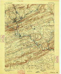
1889 · Pottsville
USGS Topo · 1:62,500

1891 · Hazleton
USGS Topo · 1:62,500

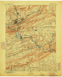
1891 · Pottsville
USGS Topo · 1:62,500

1891 · Lebanon
USGS Topo · 1:62,500

1892 · Catawissa
USGS Topo · 1:62,500

1892 · Mahanoy
USGS Topo · 1:62,500

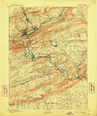
1892 · Pine Grove
USGS Topo · 1:62,500

1893 · Hazleton
USGS Topo · 1:62,500