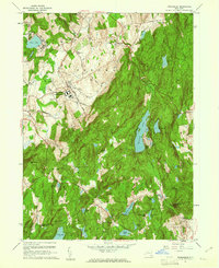
1960 Map of Poughquag
USGS Topo · Published 1961About this map
Green Haven State Prison anchors the central landscape of this 1960s survey, surrounded by the evolving agricultural and institutional character of Dutchess County. The map details a sophisticated network of mid-century infrastructure, featuring the New York Central railroad corridor and the Stormville Airport. The presence of numerous summer camps, such as Sanita Hills Camp and Camp Ludington, alongside recreational water bodies like Whaley Lake and Sylvan Lake, illustrates the area's transition into a seasonal retreat destination. For researchers of local heritage, the map preserves the locations of several community foundations, including the Beekman Sch, Zion Ch, and the Second Kent Ch Cem. The eastern portion is dominated by the high elevations of Pawling Mountain and West Mountain, through which the Appalachian Trail winds, providing a clear view of the region's conserved natural topography before modern expansion.
Find a feature on this map
68 named features on this map. Tap any name to fly to it.
Don’t see what you’re looking for? This feature index may not catch every label — zoom into the map to look around manually.
Map Details
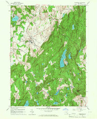
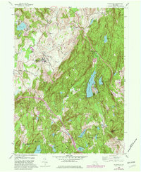
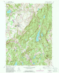
Editions of this 1960 Poughquag Map
4 editions found
Other maps of this area

1892 · West Point
USGS Topo · 1:62,500

1892 · Carmel
USGS Topo · 1:62,500

1893 · Carmel
USGS Topo · 1:62,500

1893 · Clove
USGS Topo · 1:62,500

1893 · Poughkeepsie
USGS Topo · 1:62,500

1894 · West Point
USGS Topo · 1:62,500

1894 · Clove
USGS Topo · 1:62,500

1894 · Carmel
USGS Topo · 1:62,500

1894 · Poughkeepsie
USGS Topo · 1:62,500

1898 · Clove
USGS Topo · 1:62,500