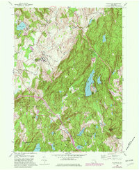
1960 Map of Poughquag
USGS Topo · Published 1982About this map
Fishkill Creek and Frog Hollow Brook carve through the transition from the Hudson Valley to the uplands of Dutchess and Putnam Counties. This landscape is defined by the massive footprint of the Green Haven Correctional Facility and the recreational development surrounding Sylvan Lake and Whaley Lake. The map reveals a post-war rural environment evolving into a commuter and summer destination, where old schoolhouses like Beekman Sch and local landmarks like Money Ledge Hill stand alongside modern infrastructure like the Taconic State Parkway.
Find a feature on this map
61 named features on this map. Tap any name to fly to it.
Don’t see what you’re looking for? This feature index may not catch every label — zoom into the map to look around manually.
Map Details
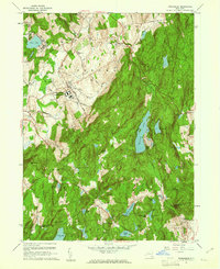
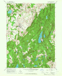
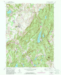
Editions of this 1960 Poughquag Map
4 editions found
Other maps of this area

1892 · West Point
USGS Topo · 1:62,500

1892 · Carmel
USGS Topo · 1:62,500

1893 · Carmel
USGS Topo · 1:62,500

1893 · Clove
USGS Topo · 1:62,500

1893 · Poughkeepsie
USGS Topo · 1:62,500

1894 · West Point
USGS Topo · 1:62,500

1894 · Clove
USGS Topo · 1:62,500

1894 · Carmel
USGS Topo · 1:62,500

1894 · Poughkeepsie
USGS Topo · 1:62,500

1898 · Clove
USGS Topo · 1:62,500