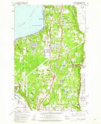
1961 Map of Poverty Bay
USGS Topo · Published 1962About this map
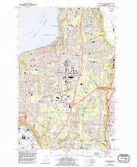
Federal Way and the surrounding plateau appear here in the early 1960s, a period of rapid development between the shores of Poverty Bay and the river valleys to the east. The landscape is a complex mix of new residential growth and established agricultural pockets, organized around historic corridors like Military Road and the winding Peasley Canyon Road. Large residential tracts and local schools such as Steel Lake Sch and Panther Lake Sch begin to define the suburban shift, while the Northern Pacific railroad and the Green R mark the industrial activity in the Auburn and Algona lowlands.
Find a feature on this map
68 named features on this map. Tap any name to fly to it.
Don’t see what you’re looking for? This feature index may not catch every label — zoom into the map to look around manually.
Map Details
Editions of this 1961 Poverty Bay Map
5 editions found
Other maps of this area

1897 · Tacoma
USGS Topo · 1:125,000

1900 · Tacoma
USGS Topo · 1:125,000

1941 · Tacoma South
USGS Topo · 1:62,500

1942 · Lake Tapps
USGS Topo · 1:62,500

1944 · Lake Tapps
USGS Topo · 1:62,500

1944 · Tacoma South
USGS Topo · 1:62,500

1949 · Tacoma North
USGS Topo · 1:24,000

1949 · Poverty Bay
USGS Topo · 1:24,000

1949 · Renton
USGS Topo · 1:24,000
1949 · Des Moines
USGS Topo · 1:24,000