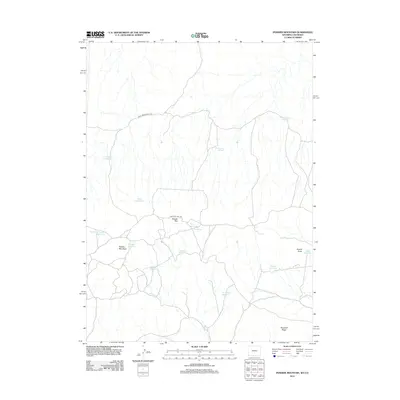
2012 Map of Powder Mountain
USGS Topo · Published 2012About this map
Cherokee Trail Rd cuts through the center of this landscape, tracing a historic path of movement across the high desert of Sweetwater County. The terrain is defined by dramatic elevations such as Powder Rim and Powder Mountain, which rise above a network of seasonal water catchments. These small bodies of water, including Knob Reservoir, North Reservoir, and Two Draw Reservoir, suggest a landscape managed for livestock and resource preservation in an arid environment. Historic routes like the Shell Creek Stock Trl intersect with newer road classifications, reflecting the area's continued use for ranching and overland transit. Named landmarks like Anthill Knob and Ruedloff Ridge provide orientation across the expansive plateaus, while isolated water sources such as Moonshine Spring and Grindstone Spring mark critical points in the local topography.
Find a feature on this map
19 named features on this map. Tap any name to fly to it.
Don’t see what you’re looking for? This feature index may not catch every label — zoom into the map to look around manually.
Map Details
Editions of this 2012 Powder Mountain Map
This is the sole edition of this map. No revisions or reprints were ever made.
Other maps of this area

1954 · Vernal
USGS Topo · 1:250,000

1954 · Rock Springs
USGS Topo · 1:250,000

1958 · Vernal
USGS Topo · 1:250,000

1958 · Rock Springs
USGS Topo · 1:250,000

1960 · Vernal
USGS Topo · 1:250,000

1962 · Rock Springs
USGS Topo · 1:250,000

1969 · Reservoir Draw
USGS Topo · 1:24,000
1969 · The Nipple NE
USGS Topo · 1:24,000

1969 · Powder Wash
USGS Topo · 1:24,000

1970 · Prehistoric Rim
USGS Topo · 1:24,000