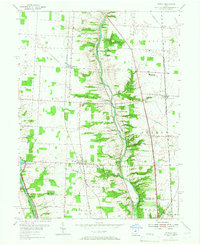
1955 Map of Powell
USGS Topo · Published 1967About this map
The Scioto River and Olentangy River carve parallel north-south valleys through this central Ohio landscape, defining the character of Liberty and Orange townships. By the mid-1950s, the area reflects a transitional rural-suburban period, anchored by the Powell and Lewis Center settlements. Along the Scioto, the O'Shaughnessy Reservoir and the Columbus Zoo mark significant recreational and infrastructure development, while the interior is dotted with family-named burial grounds like Crankleton Cem and Blinn Cem. The presence of the Powell Speedway and the Drive-in Theater near Lazelle suggests a post-war shift toward modern entertainment, even as the landscape remains tied to its agricultural and geological roots through features like Olentangy Caverns and various quarries. Transport is heavily shaped by rail, with the Pennsylvania, New York Central, and Chesapeake and Ohio lines all traversing the county.
Find a feature on this map
55 named features on this map. Tap any name to fly to it.
Don’t see what you’re looking for? This feature index may not catch every label — zoom into the map to look around manually.
Map Details
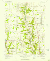
Editions of this 1955 Powell Map
2 editions found
Other maps of this area

1901 · Dublin
USGS Topo · 1:62,500

1902 · Westerville
USGS Topo · 1:62,500

1903 · Dublin
USGS Topo · 1:62,500

1904 · Westerville
USGS Topo · 1:62,500

1915 · Marengo
USGS Topo · 1:62,500

1924 · Delaware
USGS Topo · 1:62,500

1925 · Delaware
USGS Topo · 1:62,500

1943 · Marengo
USGS Topo · 1:62,500

1944 · Delaware
USGS Topo · 1:62,500

1950 · Marion
USGS Topo · 1:250,000