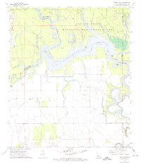
1972 Map of Powell Point
USGS Topo · Published 1974About this map
The Saline State Wildlife Management Area dominates this landscape at the intersection of LaSalle, Rapides, Catahoula, and Avoyelles Parishes. In the early 1970s, the region's geography is defined by an intricate network of waterways, including West Saline Lake, Saline Lake, and the winding Old River. The map documents the extensive petroleum infrastructure of the era, notably the West Saline Lake Oil Field and Saline Lake Oil Field, with numerous Oil Wells and Drill Holes scattered across the basin. Local genealogical interest is anchored by the Deville Cem near Big Island in the northwest. From Powell Point to Horse Island, the terrain is a complex puzzle of bayous like Jumping Bayou and Muddy Bayou, illustrating the natural drainage patterns of the Central Louisiana bottomlands before modern topographic changes.
Find a feature on this map
38 named features on this map. Tap any name to fly to it.
Don’t see what you’re looking for? This feature index may not catch every label — zoom into the map to look around manually.
Map Details
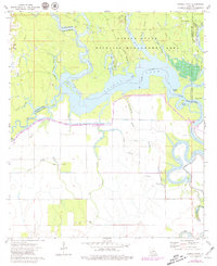
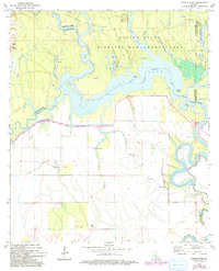
Editions of this 1972 Powell Point Map
3 editions found
Other maps of this area

1935 · Tooleys
USGS Topo · 1:62,500

1940 · Marksville
USGS Topo · 1:62,500

1941 · Voorhies
USGS Topo · 1:62,500

1941 · Buckeye
USGS Topo · 1:62,500

1941 · Tooleys
USGS Topo · 1:62,500

1953 · Alexandria
USGS Topo · 1:250,000

1953 · Natchez
USGS Topo · 1:250,000

1955 · Alexandria
USGS Topo · 1:250,000

1956 · Natchez
USGS Topo · 1:250,000

1959 · Natchez
USGS Topo · 1:250,000