1979 Map of Powhatan
USGS Topo · Published 1982About this map
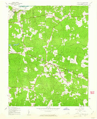
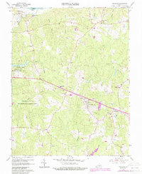
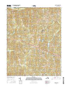
The James River forms the northern boundary of this Piedmont landscape, which is captured here in an orthophotograph produced by the Soil Conservation Service and the Geological Survey. The imagery reflects a rural territory in transition during the late 1970s, where traditional timber and agricultural clearings are increasingly interrupted by residential development patterns. Small community centers such as Provost, Jefferson, and Plain anchor the local road network, while the western portion of the sheet is defined by the Powhatan Lakes. The dendritic drainage of Fine Creek and other unnamed tributaries illustrates the deeply dissected topography typical of the region as it slopes toward the river basin. Unlike a standard line-and-symbol map, this photographic record shows the exact state of field cultivation and forest cover during the spring of 1979.
Find a feature on this map
7 named features on this map. Tap any name to fly to it.
Don’t see what you’re looking for? This feature index may not catch every label — zoom into the map to look around manually.
Map Details
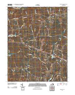
Editions of this 1979 Powhatan Map
This is the sole edition of this map. No revisions or reprints were ever made.
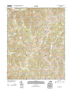
Historical Maps of Powhatan Through Time
8 maps found