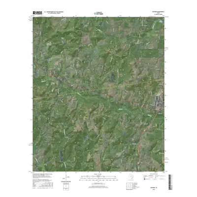
2016 Map of Poynor
USGS Topo · Published 2016About this map
Frankston and Poynor serve as the primary anchors of this East Texas landscape, which is defined by the complex drainage network of Caddo Cr and its various tributaries. The terrain transitions from the developed corridors of the local road system to the wetlands and inlets of Lake Palestine in the northeast corner. Settlement patterns are reinforced by several local landmarks, including the Pickle Plantation Airport and the residential clusters of Coffee City.
Find a feature on this map
78 named features on this map. Tap any name to fly to it.
Don’t see what you’re looking for? This feature index may not catch every label — zoom into the map to look around manually.
Map Details
Editions of this 2016 Poynor Map
This is the sole edition of this map. No revisions or reprints were ever made.
Other maps of this area

1946 · Bullard
USGS Topo · 1:62,500

1948 · Bullard
USGS Topo · 1:62,500

1949 · Palestine
USGS Topo · 1:62,500

1949 · Frankston
USGS Topo · 1:62,500

1950 · Palestine
USGS Topo · 1:62,500

1950 · Frankston
USGS Topo · 1:62,500

1951 · Jacksonville
USGS Topo · 1:62,500

1953 · Palestine
USGS Topo · 1:250,000

1956 · Tyler
USGS Topo · 1:250,000

1957 · Palestine
USGS Topo · 1:250,000