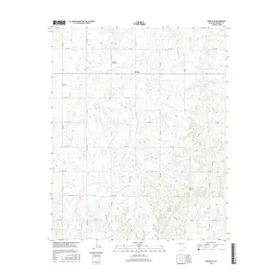
2016 Map of Prague SE
USGS Topo · Published 2016About this map
Sylvian anchors the northern half of this Seminole County landscape, situated along Oklahoma State Highway 99. The terrain is defined by a dense network of winding rural roads and significant water features, including the Big Wewoka Creek Reservoir in the southwest and Fry Lake to the south. Genealogists will find particular value in the documentation of the Seminole-Hitchiti Cem and Snake Creek Cem, which speak to the area's long-standing tribal and pioneer heritage.
Find a feature on this map
39 named features on this map. Tap any name to fly to it.
Don’t see what you’re looking for? This feature index may not catch every label — zoom into the map to look around manually.
Map Details
Editions of this 2016 Prague SE Map
This is the sole edition of this map. No revisions or reprints were ever made.
Other maps of this area

1896 · Seminole and Prague
USGS Topo · 1:125,000

1900 · Wewoka
USGS Topo · 1:125,000

1954 · Oklahoma City
USGS Topo · 1:250,000

1957 · Oklahoma City
USGS Topo · 1:250,000

1963 · Oklahoma City
USGS Topo · 1:250,000

1967 · Cromwell
USGS Topo · 1:24,000

1967 · Prague SW
USGS Topo · 1:24,000

1967 · Prague NE
USGS Topo · 1:24,000

1967 · Prague SE
USGS Topo · 1:24,000

1967 · Boley
USGS Topo · 1:24,000