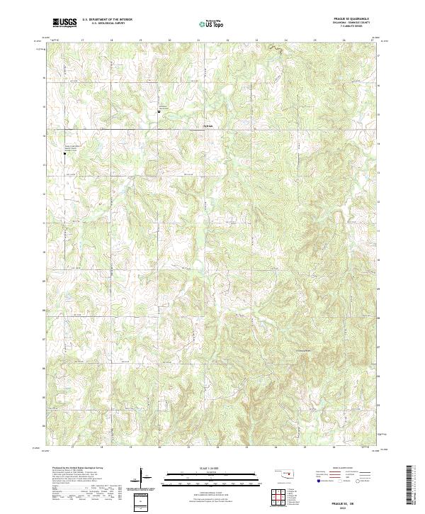
2022 Map of Prague SE
USGS Topo · Published 2022About this map
The small settlement of Sylvian serves as a central point in this rural landscape of northern Seminole County. Indigenous heritage and local history are preserved at sites like the Snake Creek Indian Baptist Church Number 2 Cem and Hitchitee Church Cem, which provide significant data points for genealogists researching family origins in the region. The terrain is defined by a dense network of tributaries including Snake Cr, Gar Creek, and Coon Cr, which drain into the larger basin near Fry Lake.
Find a feature on this map
46 named features on this map. Tap any name to fly to it.
Don’t see what you’re looking for? This feature index may not catch every label — zoom into the map to look around manually.
Map Details
Editions of this 2022 Prague SE Map
This is the sole edition of this map. No revisions or reprints were ever made.
Other maps of this area

1896 · Seminole and Prague
USGS Topo · 1:125,000

1900 · Wewoka
USGS Topo · 1:125,000

1954 · Oklahoma City
USGS Topo · 1:250,000

1957 · Oklahoma City
USGS Topo · 1:250,000

1963 · Oklahoma City
USGS Topo · 1:250,000

1967 · Cromwell
USGS Topo · 1:24,000

1967 · Prague SW
USGS Topo · 1:24,000

1967 · Prague NE
USGS Topo · 1:24,000

1967 · Prague SE
USGS Topo · 1:24,000

1967 · Boley
USGS Topo · 1:24,000