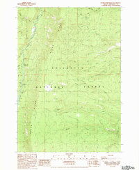
1988 Map of Prairie Farm Spring
USGS Topo · Published 1988About this map
The Metolius River defines the western edge of this central Oregon landscape, marking the boundary for the Warm Springs Indian Reservation. The river corridor is home to several established recreational sites, including Candle Creek Campground, Lower Bridge Campground, and Pioneer Ford Campground. Rising sharply from the river valley, the prominent Green Ridge overlooks the Deschutes National Forest, a terrain characterized by numerous seasonal forks and springs that feed into the larger river system.
Find a feature on this map
31 named features on this map. Tap any name to fly to it.
Don’t see what you’re looking for? This feature index may not catch every label — zoom into the map to look around manually.
Map Details
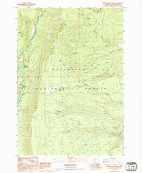
Editions of this 1988 Prairie Farm Spring Map
2 editions found
Other maps of this area

1926 · Bend
USGS Topo · 1:125,000

1927 · Mt. Jefferson
USGS Topo · 1:125,000

1928 · Madras
USGS Topo · 1:125,000

1929 · Bend
USGS Topo · 1:125,000

1929 · Three Sisters
USGS Topo · 1:125,000

1930 · Mt. Jefferson
USGS Topo · 1:125,000

1931 · Madras
USGS Topo · 1:125,000

1932 · Three Sisters
USGS Topo · 1:125,000

1955 · Bend
USGS Topo · 1:250,000

1957 · Bend
USGS Topo · 1:250,000